Typhoon Dolphin: still a formidable storm near Wake Island, but the track debate is tilting west
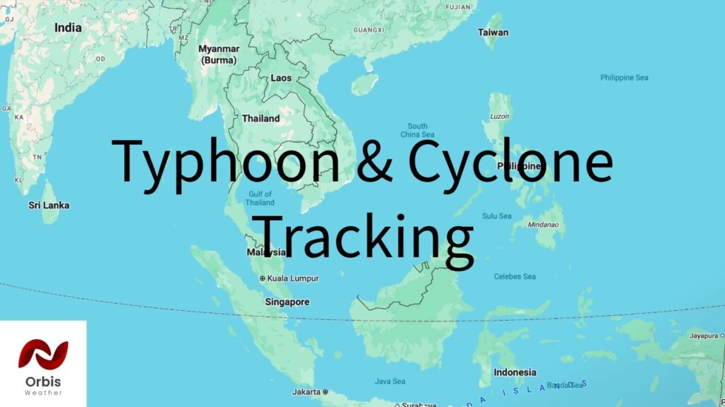
Latest official fix (no change from this morning’s report): JTWC/NWS Guam Advisory 14, issued Thursday, July 30 at 8:07 p.m. ChST (0900 UTC), still stands as the most recent numbered advisory I can find: Dolphin at 17.2°N, 164.5°E, about 200 miles southwest of Wake Island, max sustained winds of 160 mph, moving northwest at 10 mph. Independent tracking (Zoom Earth, Fred Pickhardt’s analysis) from roughly the same window puts it a bit farther along — near 19.1°N, 160.1°E, about 368 nm/594 km west of Wake Island, with sustained winds in the 130-140 knot range (150-155 mph), still Super Typhoon intensity, expected to hold that strength another 1-2 days before weakening.
What’s new since this morning: the track conversation has shifted west. When I first researched this a few hours ago, most coverage (JMA, ibtimes.sg) still framed the main scenarios as “approach Ogasawara, then curve toward Okinawa/southern Japan, or bend toward Korea.” That’s still on the table, but the balance of chatter today has moved noticeably toward a China/Taiwan solution:
A prediction market (Polymarket) tracking this storm shows roughly a 52% probability of a China landfall versus 56% for Japan (odds overlap/aren’t mutually exclusive since “hit” definitions differ), explicitly citing model guidance that has “diverged sharply” between a recurve toward Japan/Korea and a more westerly track into eastern China, Zhejiang province specifically mentioned.
Social media storm-chasers (unverified, take with caution) have been circulating claims of a “shocking” late shift in guidance placing Dolphin on a path more like Typhoon Noul’s approach to Hong Kong, rather than the earlier Japan-leaning solutions.
This lines up with what I already had from the Hong Kong Observatory (“higher chance of moving towards the vicinity of the East China Sea”) and Vietnamese state media’s read favoring a track toward Fujian/Zhejiang and the waters north of Taiwan by around August 5.
Bottom line: Nothing has changed in Dolphin’s current intensity or position beyond continued gradual weakening from its peak, but forecast confidence for days 4+ is still low, and today’s chatter is leaning slightly more toward eastern China/Taiwan than the Japan-only framing from earlier coverage. I’d treat any specific landfall claim (Japan, China, or otherwise) as unconfirmed until JTWC/JMA officially firm up the track, likely in the next 24-48 hours as it nears the Ogasawara region.