Typhoon Capital of the World: Most Typhoon-Prone Places
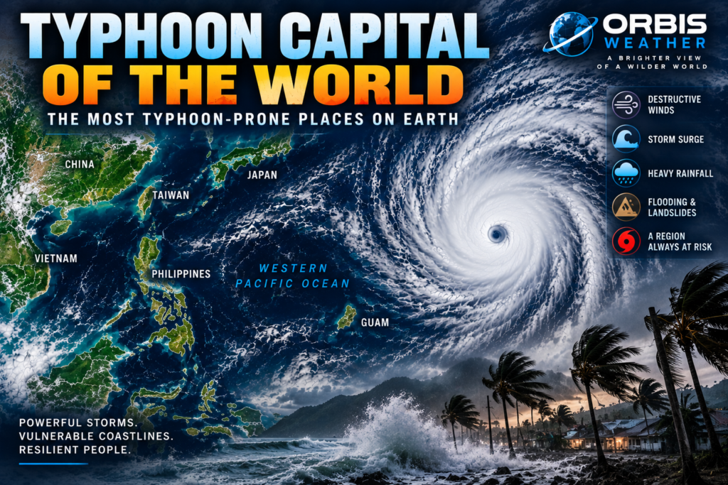

🌀 Typhoon Capital of the World: The Most Typhoon-Prone Places on Earth
The western North Pacific is Earth’s most active tropical-cyclone basin.
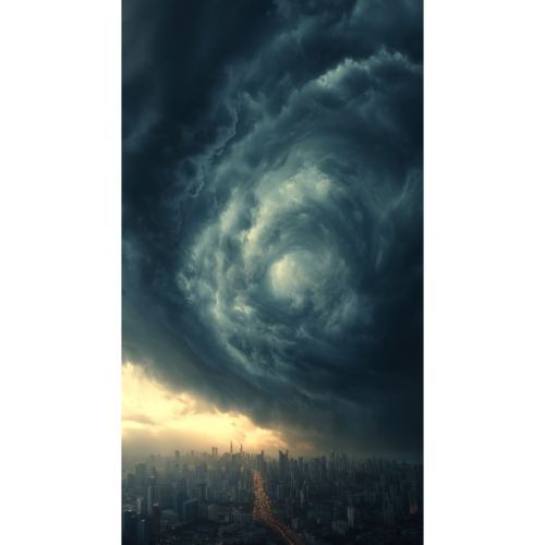
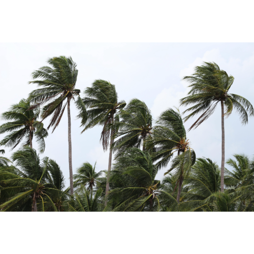
Here, tropical storms can grow into enormous typhoons fueled by warm ocean water stretching thousands of miles across the Pacific. Some undergo explosive intensification and become super typhoons, producing devastating winds, enormous waves, storm surge and extraordinary rainfall.
Sitting directly in this storm corridor is one country that experiences tropical cyclones with remarkable regularity:
🇵🇭 The Philippines.
If the phrase “Typhoon Capital of the World” is used to describe a country based on repeated exposure, the Philippines is one of the strongest candidates.
But it isn’t alone.
From the Philippines and Taiwan to southern China, Japan, Vietnam and the Mariana Islands, hundreds of millions of people live within one of Earth’s greatest tropical-cyclone danger zones.
🇵🇭 The Philippines — At the Center of Typhoon Country
Few countries experience tropical cyclones as routinely as the Philippines.
The Philippine Atmospheric, Geophysical and Astronomical Services Administration — PAGASA — says an average of approximately 20 tropical cyclones enter the Philippine Area of Responsibility each year, with roughly eight or nine crossing the Philippines.
Typhoon activity can occur throughout the year, although the peak season generally runs from July through October.
The country’s position explains much of its exposure.
Immediately east of the Philippines lies an enormous expanse of warm tropical Pacific Ocean.
Tropical disturbances can develop far to the east and travel westward or northwestward for days, sometimes strengthening substantially before reaching the islands.
For communities facing the Pacific, there may be very little land between them and thousands of miles of warm ocean.
🌀 Why Do So Many Typhoons Hit the Philippines?
Three ingredients make the region exceptional.
First is warm ocean water.
Tropical cyclones draw energy from warm seas, and the western tropical Pacific contains an enormous reservoir of ocean heat.
Second is the vast size of the western North Pacific.
Storms can develop far from land and have considerable time over water to organize and strengthen.
Third is atmospheric circulation.
Prevailing tropical winds frequently steer developing systems generally westward or northwestward toward the Philippines and surrounding areas.
The result is a natural typhoon highway:
Western Pacific → Philippines → South China Sea → Vietnam / China
Other storms curve north toward Taiwan, China, Korea or Japan.
🌊 Eastern Philippines — The Front Line
The eastern islands of the Philippines often represent the country’s first line of exposure.
Places along the Pacific-facing coasts of Luzon, Samar and surrounding islands can be among the first populated areas encountered by typhoons approaching from the east.
These communities may face:
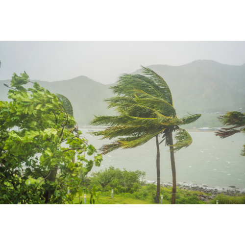
💨 Destructive winds
🌊 Storm surge
🌧️ Torrential rainfall
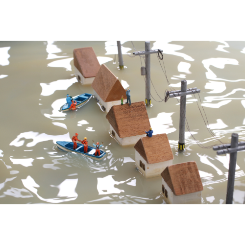
🌊 Flash flooding
🪨 Landslides
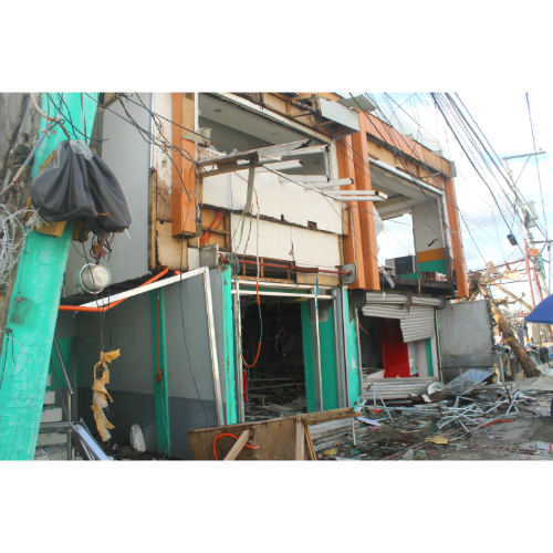
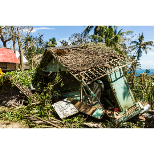
🌴 Coastal damage
🌊 Enormous waves
The geography of the Philippines can make the situation even more complicated.
The country consists of thousands of islands, meaning a single typhoon can repeatedly move across water and land while affecting multiple regions.
💨 Super Typhoons — When Western Pacific Storms Become Monsters
The western Pacific can produce some of the strongest tropical cyclones observed anywhere on Earth.
When a powerful typhoon reaches sufficiently high sustained winds, the U.S. Joint Typhoon Warning Center uses the term super typhoon.
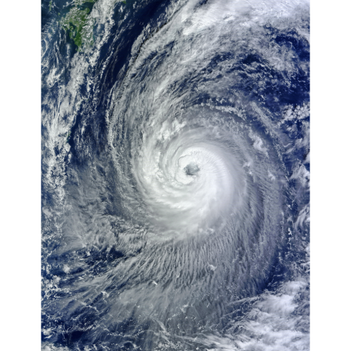
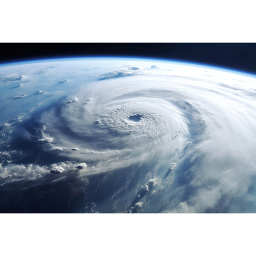
These storms can develop extremely compact and intense eyewalls surrounded by enormous thunderstorm complexes.
But maximum wind speed isn’t the only concern.
A super typhoon can simultaneously produce:
💨 Extreme wind
🌊 Catastrophic storm surge
🌧️ Torrential rainfall
🌊 Flash flooding
🪨 Landslides
🌊 Destructive waves
And these hazards can affect areas far beyond the eye.
🌊 Storm Surge — When the Pacific Comes Ashore
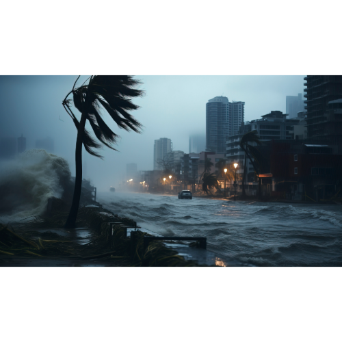
For coastal communities, storm surge can become one of a typhoon’s greatest dangers.
Strong winds push seawater toward land, raising water levels above normal tides.
The result can be a rapidly advancing wall or rise of seawater capable of flooding coastal communities.
Low-lying bays can be particularly vulnerable because geography may funnel water into a smaller area.
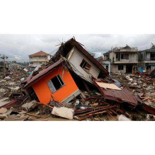
Typhoon Haiyan demonstrated the destructive potential dramatically when it struck the Philippines in November 2013.
The storm produced catastrophic storm surge in parts of the central Philippines, including Tacloban and surrounding communities.
Thousands of people died during the disaster.
Haiyan remains one of the defining examples of why typhoon danger cannot be measured by wind speed alone.
⛰️ Mountains Turn Typhoons Into Flood Disasters
The Philippines is mountainous.
That creates another major typhoon hazard.
When moisture-laden air from a tropical cyclone encounters mountains, it is forced upward.
The air cools, moisture condenses and rainfall can intensify dramatically.
That can produce:
🌧️ Extreme rainfall
🌊 Flash floods
🏞️ River flooding
🪨 Landslides
🚧 Washed-out roads
🏠 Isolated communities
A typhoon can therefore weaken after moving over land while its flood and landslide threat remains extremely dangerous.
🇹🇼 Taiwan — Mountains in the Typhoon Highway
North of the Philippines sits another major typhoon danger zone:
Taiwan.
The island lies directly along pathways frequently taken by western Pacific tropical cyclones.
But Taiwan’s terrain makes its typhoon risk particularly interesting.
Mountain ranges rise dramatically from the island.
When moisture from a typhoon encounters these mountains, rainfall can become exceptionally intense.
Typhoons affecting Taiwan can therefore produce a combination of:
🌀 Hurricane-force winds
🌧️ Extreme rainfall
🌊 Flash flooding
🏞️ River flooding
🪨 Landslides
🌊 Dangerous coastal conditions
Some storms cross Taiwan before continuing toward mainland China.
Others pass nearby and still produce significant rainfall and wind.
🇨🇳 Southern China — A Vast Typhoon Coastline
Southern China represents another enormous western Pacific typhoon danger zone.
The coastline stretching from Fujian through Guangdong toward Hainan faces tropical cyclones approaching from both the western Pacific and South China Sea.
The densely populated Pearl River Delta, including the broader Hong Kong–Shenzhen–Guangzhou region, adds substantial human and economic exposure.
Typhoons approaching this coastline can bring destructive winds, coastal flooding and enormous rainfall.
Even storms weakening inland can continue producing significant flooding.
🇭🇰 Hong Kong — A Major City in Typhoon Country
Hong Kong sits directly along the South China coast.
The surrounding South China Sea provides a pathway for tropical cyclones moving westward after crossing or passing near the Philippines.
Some storms strengthen over the warm water before approaching southern China.
Hong Kong’s combination of steep terrain, dense urban development and coastline creates multiple hazards.
Heavy rainfall can trigger flooding and landslides while powerful winds affect high-rise buildings, transportation and coastal areas.
🇻🇳 Vietnam — The End of the Typhoon Highway
Continue west across the South China Sea and many storms eventually encounter Vietnam.
Vietnam has a long coastline facing one of the primary westward routes of western Pacific tropical cyclones.
Some storms arrive as typhoons.
Others weaken before reaching the country but retain enormous quantities of tropical moisture.
That means rainfall and flooding can become as important as wind.
Vietnam’s mountainous terrain can further enhance precipitation and increase the danger of landslides and flash flooding.
For many storms, Vietnam effectively sits near the western end of a journey beginning thousands of miles away over the Pacific.
🇯🇵 Japan — Typhoons Turning North
Not every western Pacific storm travels west.
Some turn north or northeast.
That places Japan directly within another major typhoon corridor.
Japan’s southern islands are particularly exposed, including Okinawa and the Ryukyu Islands.
Typhoons can then continue toward Kyushu, Shikoku, Honshu or surrounding waters.
Japan’s mountains enhance rainfall, meaning tropical cyclones can produce severe flooding and landslides even when the strongest winds remain near the coastline.
Typhoons reaching Japan may also interact with weather systems farther north, expanding rainfall across large areas.
🇬🇺 Guam and the Mariana Islands — Small Islands in a Huge Ocean
Far east of the Philippines lies another remarkable typhoon danger zone.
Guam and the Northern Mariana Islands sit within the western Pacific tropical cyclone development region.
Their isolation makes typhoons particularly important.
These islands are surrounded by thousands of miles of Pacific Ocean, leaving them exposed to storms developing over open water.
Powerful typhoons can produce destructive winds, huge waves, coastal flooding and infrastructure damage.
Because the islands are relatively small, a large typhoon’s circulation can encompass the entire island.
🇵🇼 Palau and Micronesia — Islands Along the Development Zone
Other Pacific island nations also experience tropical cyclone threats.
Parts of Palau and the Federated States of Micronesia lie within or near areas where western Pacific tropical disturbances organize.
Not every developing storm becomes a typhoon near these islands.
But even weaker tropical systems can produce torrential rainfall, rough seas and damaging winds.
And storms passing these islands may later strengthen dramatically as they continue toward the Philippines or East Asia.
🌀 Why Is the Western Pacific So Active?
The western North Pacific has several characteristics that make it exceptionally favorable for tropical cyclones.
🌊 Huge expanses of warm water
🌡️ High ocean heat content
💧 Abundant tropical moisture
🌍 A vast tropical development region
💨 Atmospheric circulation favorable for rotating disturbances
Unlike the Atlantic, where Africa forms the basin’s eastern boundary, the tropical western Pacific contains an enormous expanse of warm ocean.
That gives tropical disturbances room to organize and strengthen.
Some storms travel thousands of miles during their lifetimes.
🌀 Hurricane vs. Typhoon — What’s the Difference?
A hurricane and a typhoon are essentially the same type of storm.
Both are tropical cyclones.
The name depends on where the storm occurs.
🌀 Hurricane: North Atlantic and eastern/central North Pacific
🌀 Typhoon: Western North Pacific
🌀 Tropical Cyclone: Common terminology in regions including the Indian Ocean and South Pacific
The underlying weather system is the same: an organized rotating tropical storm powered largely by heat and moisture from warm ocean water.
🌧️ Typhoon Danger Doesn’t End at Landfall
A common mistake is assuming that once a typhoon moves inland, the danger rapidly disappears.
Wind speeds usually decrease as a tropical cyclone loses access to warm ocean water.
But rainfall can continue.
Sometimes the greatest flooding occurs after landfall.
Mountainous areas are especially vulnerable because tropical moisture can produce extreme rainfall and landslides.
Large rivers may continue rising long after the storm’s center has moved away.
Typhoon danger therefore extends far beyond the coastline.
🌏 Major Typhoon Danger Zones
Some of the western Pacific’s most significant typhoon danger zones include:
🇵🇭 Philippines — Extraordinary tropical cyclone exposure and frequent landfalls.
🇹🇼 Taiwan — Typhoons combined with mountainous terrain and extreme rainfall.
🇨🇳 Southern China — Long coastline, large population and repeated typhoon exposure.
🇭🇰 Hong Kong — Dense coastal city exposed to South China Sea typhoons.
🇻🇳 Vietnam — Long coastline facing westward-moving tropical cyclones.
🇯🇵 Japan — Typhoons curving north toward Okinawa and the main islands.
🇬🇺 Guam & Northern Mariana Islands — Small islands located within a major western Pacific storm corridor.
🇵🇼 Palau — Located near western Pacific tropical cyclone development regions.
🇫🇲 Micronesia — Tropical disturbances and typhoons can affect portions of the island nation.
Together they form an enormous tropical cyclone corridor extending thousands of miles:
Western Pacific → Mariana Islands → Philippines → South China Sea → China / Vietnam
with another major branch curving:
Philippines / Western Pacific → Taiwan → Okinawa → Japan
🌎 So Where Is the Typhoon Capital of the World?
There is no official meteorological title of “Typhoon Capital of the World.”
But if the phrase describes a country with exceptionally frequent exposure to western Pacific tropical cyclones, the Philippines stands out.
Approximately 20 tropical cyclones enter the Philippine Area of Responsibility during an average year, according to PAGASA, with around eight or nine crossing the country.
Its location places millions of people directly in one of Earth’s most active tropical cyclone corridors.
But the larger story stretches far beyond the Philippines.
From Guam and the Mariana Islands to Taiwan, southern China, Vietnam and Japan, the western Pacific contains an extraordinary concentration of communities exposed to typhoon winds, storm surge, extreme rainfall, flooding and landslides.
The western Pacific is where warm ocean, atmospheric circulation and geography combine to create some of Earth’s most powerful storms.
And for the people living along its shores, typhoons aren’t rare anomalies.
They are part of life in the world’s most active tropical cyclone basin.
❓ Typhoon Capital of the World — Frequently Asked Questions
What is the Typhoon Capital of the World?
There is no official Typhoon Capital of the World. However, the Philippines is one of the strongest candidates when considering frequent tropical cyclone exposure.
How many tropical cyclones affect the Philippines each year?
PAGASA says approximately 20 tropical cyclones enter the Philippine Area of Responsibility annually, with about eight or nine crossing the Philippines.
What is the difference between a typhoon and a hurricane?
They are the same type of weather system — a tropical cyclone. The term hurricane is used in the Atlantic and eastern/central North Pacific, while typhoon is used in the western North Pacific.
What countries get the most typhoons?
The Philippines, China, Taiwan, Japan and Vietnam are among the major countries exposed to western North Pacific typhoons.
Does Guam get typhoons?
Yes. Guam and the Northern Mariana Islands are located within the western Pacific tropical cyclone region and can experience powerful typhoons.
Does Japan get typhoons?
Yes. Tropical cyclones frequently curve northward toward the Ryukyu Islands and Japan, bringing wind, extreme rainfall, flooding and landslide hazards.
Why are Philippine typhoons sometimes so powerful?
Storms approaching the Philippines can spend long periods over the warm western Pacific, allowing favorable systems considerable opportunity to strengthen before reaching land.
What is a super typhoon?
The Joint Typhoon Warning Center uses super typhoon for exceptionally intense western North Pacific typhoons reaching its specified wind threshold.
What is the most dangerous part of a typhoon?
There isn’t one universal answer. The eyewall typically contains the strongest winds, while storm surge, extreme rainfall, flooding and landslides can be more dangerous in particular locations.
Where can I track typhoons right now?
Use the Orbis Weather Western Pacific Typhoon & Cyclone Tracker and Global Storm Tracker for current tropical cyclone activity.