Tropical Storm Genevieve weakens after brief Category 5 peak, poses no direct threat to land
Genevieve, the eastern Pacific’s marquee storm of the week, has weakened all the way down to a tropical storm after a dramatic rise-and-fall arc over the past several days — and forecasters expect it to fade into a remnant low by this weekend.
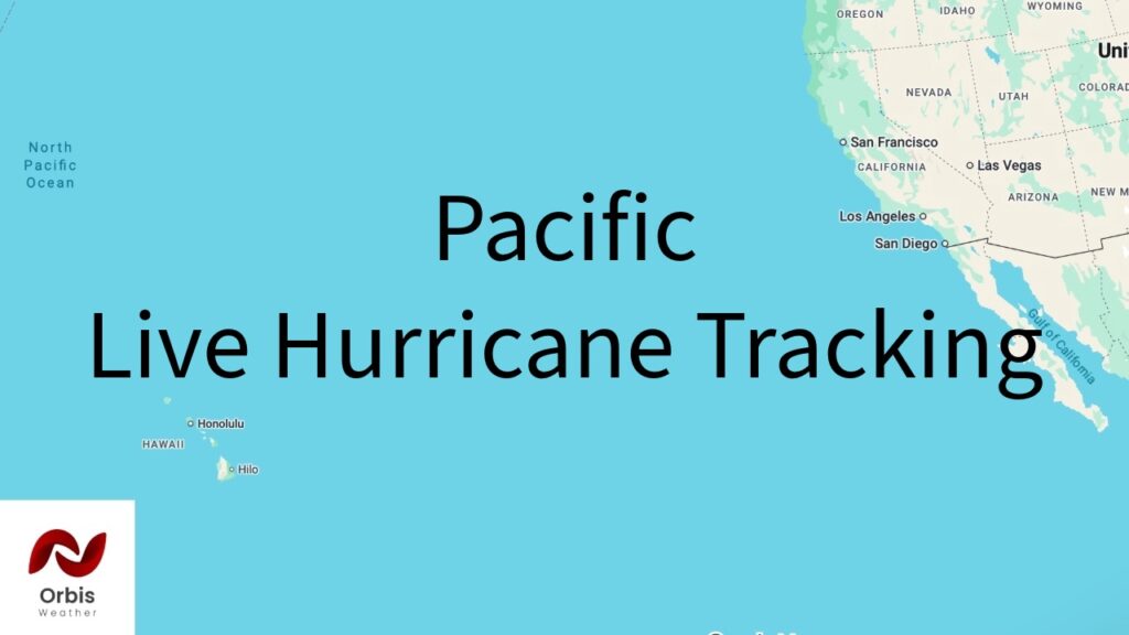
Where it stands now: Per NHC Advisory 29 (issued 11 p.m. HST Thursday, July 30), Genevieve was centered near 21.7°N, 127.2°W — about 1,110 miles west of the southern tip of Baja California — moving west-northwest at 14 mph. Maximum sustained winds have dropped to 65 mph with a central pressure of 993 mb. The NHC calls for continued gradual weakening, with Genevieve expected to become a post-tropical remnant low by late this weekend. No coastal watches or warnings are in effect.
How it got here: Genevieve underwent rapid intensification in the days prior, reaching Category 5 strength on July 27 with peak sustained winds of 160 mph and a minimum pressure of 925 hPa while about 850 km south-southwest of Baja California’s tip — the first Category 5 hurricane in the eastern Pacific since Hurricane Kristy in 2024, and reportedly the strongest hurricane anywhere near North or Central America so far this year. It began weakening within hours after entering an eyewall replacement cycle, sliding from Category 5 to Category 4 by that same afternoon, and has continued a steady decline since, dropping through Category 3 and 2 strength before falling to tropical-storm status by Thursday.
Impacts: Genevieve itself has stayed well offshore and poses no direct threat to Mexico, Baja California, or Southern California. The real hazard has been indirect: large swells generated by the storm at its peak have been pushing into southwestern Mexico, the Baja California Peninsula, and the Southern California coast, producing life-threatening surf and rip currents and elevated tides (reported as high as 6-7 feet in spots) that are expected to persist for several more days even as the storm itself continues to weaken and pull away.
What’s next: With Genevieve on track to dissipate into a remnant low within days, attention will shift to the surf/rip-current hazard tapering off along the coast rather than any storm-related landfall concern.
Note: this is the eastern Pacific basin (off Mexico/California), separate from the Western Pacific typhoon report I put together earlier today — let me know if you’d like this folded into a similar Orbis Weather-style article or file.