Super Typhoon Dolphin, Among the Strongest Storms Ever Near the Date Line, Curves Toward Japan’s Remote Islands
ORBIS WEATHER July 31, 2026
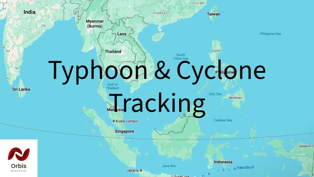
Super Typhoon Dolphin — one of the most powerful tropical cyclones ever recorded to form so close to the International Date Line — is curving across the open western Pacific toward Japan’s remote Ogasawara and Minami-Torishima island chains. Per the Joint Typhoon Warning Center’s latest advisory (Number 17, 00:00 UTC July 31), Dolphin was centered near 18.3°N, 161.9°E with maximum sustained winds of 135 knots (155 mph) and gusts to 165 knots, moving west-northwest at 10 knots on a central pressure of 924 millibars.
Dolphin peaked Thursday morning at 165 mph (270 km/h) with a 910 mb pressure after an explosive intensification cycle — reporting picked up by CapeWeather from Yale Climate Connections called it “the strongest typhoon on record to develop so close to the International Date Line” and the fifth global Category 5-equivalent storm of 2026, ahead of 1997’s record pace. The storm has since fluctuated through repeated eyewall replacement cycles, and forecasters expect gradual weakening as it tracks north-northwest then curves west, passing near Minami-Torishima by Sunday and making its closest approach to the Ogasawara Islands around 9 p.m. local time Monday — still carrying sustained winds near 97 knots (112 km/h) at that point.
No coastal watches or warnings are in effect for the Japanese mainland, and current guidance keeps Dolphin’s most dangerous winds away from any major population center — the Ogasawara and Minami-Torishima islands are sparsely populated. Beyond the Ogasawara pass, meaningful uncertainty remains over whether Dolphin continues into the open Pacific, curves toward Korea, or bends toward western Japan and the East China Sea; residents and shipping interests in the region should continue monitoring updates from the Japan Meteorological Agency and JTWC as the track firms up.
This article was compiled from publicly available reporting for illustrative purposes under the Orbis Weather branding. It is not an official product of the Joint Typhoon Warning Center, the Japan Meteorological Agency, PAGASA, NOAA, or any other national weather service. For official advisories and forecasts, consult those agencies directly.