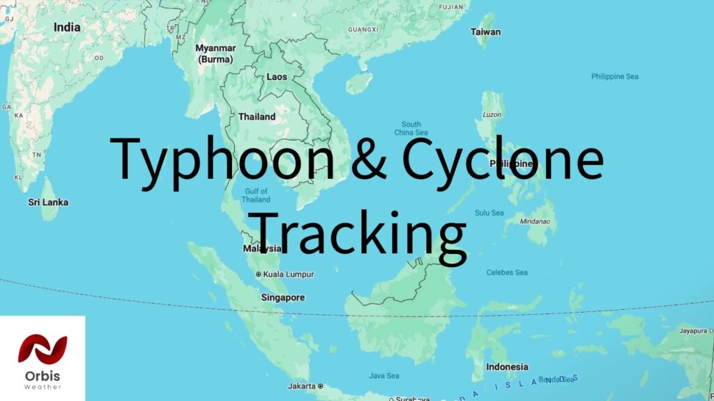
Record-Setting Typhoon Dolphin Reintensifies, Takes Aim at Okinawa’s 1.4 Million Residents
By Orbis Weather Staff | August 4, 2026
Typhoon Dolphin, one of the most powerful storms the Northwest Pacific has produced this year, has reintensified to Category 4 strength after battering Japan’s remote Ogasawara Islands and is now tracking toward Okinawa, where roughly 1.4 million residents and thousands of U.S. military personnel are bracing for a potentially prolonged and dangerous hit later this week.
A record-breaking storm
Dolphin reached its peak strength late last week, with maximum sustained winds climbing to 165 mph — Category 5 equivalent — making it the fifth Category 5 tropical cyclone recorded worldwide so far in 2026. That pace puts this year ahead of 1997, previously one of the most prolific years on record for the strongest tier of tropical cyclones, and scientists point to an unusually strong, developing El Niño as a key driver supercharging storm development across the Pacific basin this season. Dolphin achieved its extreme intensity through two separate rounds of rapid intensification.
After completing its fourth eyewall replacement cycle — a natural process in which a storm’s core restructures, typically causing a temporary weakening followed by renewed strengthening over a wider wind field — Dolphin has built back up to Category 4 strength. As of Tuesday, sustained winds were estimated near 130 mph with gusts as high as 160 mph, and forecasters expect winds to tick up slightly further before a gradual weakening trend sets in as the storm encounters cooler, shallower ocean water and increasing wind shear later this week.
Track: Ogasawara now, Okinawa by week’s end
Dolphin’s first direct impact came Tuesday in Japan’s remote Ogasawara (Bonin) Islands, a UNESCO World Heritage site roughly 1,460 miles east of Okinawa. The islands are home to only about 2,500 residents, concentrated mostly on Chichijima, along with a small staff presence on Iwo Jima. The Joint Typhoon Warning Center had urged residents and personnel there to complete storm preparations before the typhoon’s near-direct approach. Conservationists are also watching closely: the islands host more than 190 species of endangered birds, and a 2019 typhoon damaged biosecurity fencing designed to keep invasive species from spreading between islands — a risk officials fear could recur.
From there, the storm is forecast to continue on a general west to west-northwest track, approaching the Daito and Amami Islands by Thursday before nearing Okinawa Island Friday into the weekend. Some forecast guidance shows the core passing just north of Okinawa rather than making a direct landfall, while other model runs keep a landfall scenario on the table — a reminder that, at three to four days out, meaningful track uncertainty remains. Either way, forecasters and military officials are planning for the storm’s broad wind field to bring significant impacts to the island regardless of the exact path of its center.
What it could mean for people in its path
Okinawa Island is the largest and most populous island in Okinawa Prefecture, and it also hosts a significant concentration of U.S. military installations, including Kadena Air Base. As of the weekend, bases on Okinawa had moved to Tropical Cyclone Condition of Readiness 4, the seasonal baseline posture, with officials warning that readiness levels would escalate as the storm approaches and that residents should “expect a lengthy lockdown” spanning Thursday through the weekend. Current guidance calls for Category 1- or 2-equivalent winds and heavy rain to arrive on the island beginning Thursday.
Japan’s Meteorological Agency has warned of destructive winds, dangerous storm surge, torrential rainfall, and extremely high waves as Dolphin’s circulation moves over the region, and it has issued typhoon warnings and advisories covering the affected island chains. Japanese authorities have urged residents to secure their homes, stay away from coastlines, and prepare for possible evacuations and power outages, with ferry and flight disruptions expected to ripple across the prefecture in the coming days. The threat comes just weeks after Typhoon Bavi struck the same prefecture, underscoring how exposed Okinawa is to successive storms during an active typhoon season.
No injuries or fatalities had been reported as of Tuesday, and the storm’s most serious impacts to populated areas remain a few days away. Orbis Weather will continue tracking Dolphin’s track and intensity as it approaches Okinawa.
Compiled from reporting by Al Jazeera, Stars and Stripes Okinawa, The Watchers, Gizmodo, and TechTimes, along with advisories from the Japan Meteorological Agency and the Joint Typhoon Warning Center.
Sources