Tropical Depression Luis Soaks Luzon as Southwest Monsoon Intensifies; Track Toward Landfall Called “Highly Uncertain”
By Orbis Weather Staff | August 2, 2026
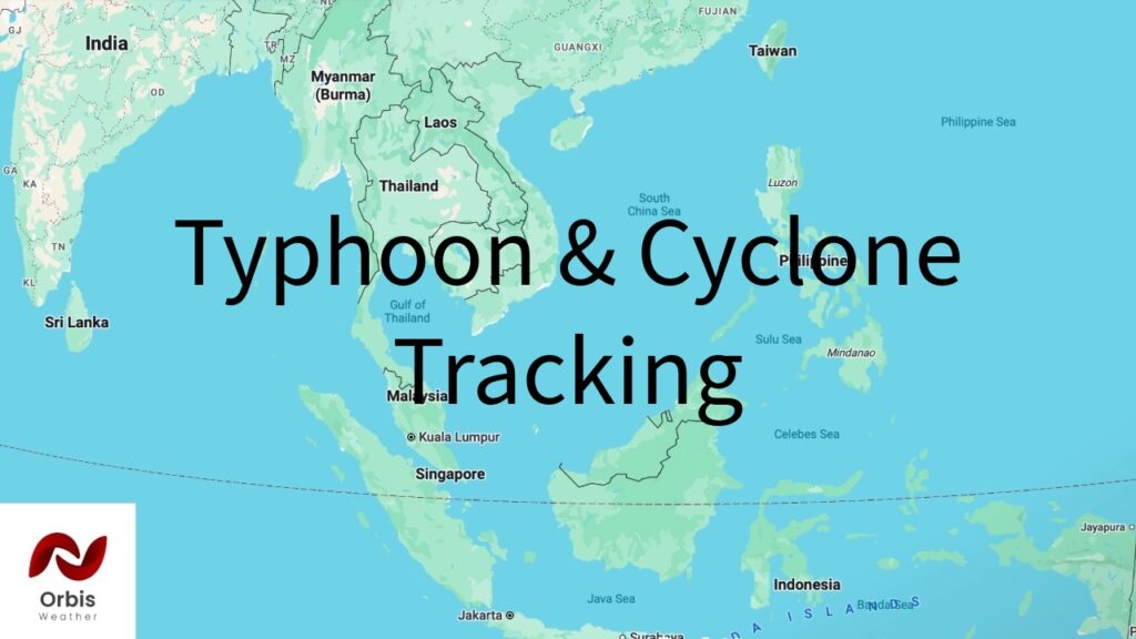
A newly formed tropical depression is dumping heavy rain across the northern Philippines and could strengthen into a tropical storm as soon as today, even as forecasters caution that its eventual path remains one of the more uncertain of the season.
A System Born From the Monsoon
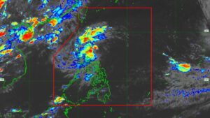
Tropical Depression Luis — the local name assigned by the Philippine Atmospheric, Geophysical and Astronomical Services Administration (PAGASA) — organized from a low-pressure area late Saturday, August 1, inside the Philippine Area of Responsibility. The system has strengthened gradually since, and PAGASA says it expects Luis to be upgraded to a tropical storm as early as today.
As of the latest position report, Luis was centered about 285 kilometers east of Baler, Aurora, moving northwest at approximately 15 km/h. Maximum sustained winds were estimated at 55 km/h, with gusts to 70 km/h — up from 45 km/h sustained winds reported roughly a day earlier when the system was still well east of Camarines Norte.
Signals Up, Rain Already Falling
PAGASA has raised Tropical Cyclone Wind Signal No. 1 over the Polillo Islands, Camarines Norte, and the northern portions of Camarines Sur and Catanduanes. But wind is not the immediate story here — rain is. Luis is enhancing the seasonal southwest monsoon, known locally as the habagat, and the combination has produced yellow rainfall warnings (50 to 100 millimeters) across Metro Manila and central Luzon, with orange warnings (100 to 200 millimeters) posted for Zambales, Bataan, and Occidental Mindoro through Wednesday.
The effects are already being felt on the ground. Officials have reported nearly 400 passengers stranded at seaports as ferry operators suspend trips, and several local government units in Bulacan have called off in-person classes as a precaution.
Track Remains Unsettled
PAGASA’s public messaging on Luis has been notably cautious about what comes next. The agency describes the storm’s future path as “highly uncertain,” with scenarios ranging from a landfall on or a close approach to northern Luzon, to a track that stays largely offshore before the system weakens into a remnant low by around August 5. Residents in coastal and low-lying areas of northern and central Luzon are being urged to monitor updates closely rather than rely on any single forecast track this far out.
A Separate Story From Dolphin
Luis’s development comes in the same week that Super Typhoon Dolphin — a far more powerful system Orbis Weather has been tracking in the open western Pacific — continued its weakening trend and moved outside the Philippine Area of Responsibility. The two systems are not interacting, and Luis’s formation is a function of the monsoon trough rather than any connection to Dolphin, but their overlap underscores how active the western Pacific has been this week.
Orbis Weather will continue to monitor Tropical Depression Luis as PAGASA issues updated bulletins.
Orbis Weather Staff report, compiled from PAGASA advisories and reporting from Rappler, GMA News, and Philstar.