Fausto Fizzles to Remnant Low North of Hawaii After Peaking as Category 2 Hurricane
ORBIS WEATHER July 31, 2026
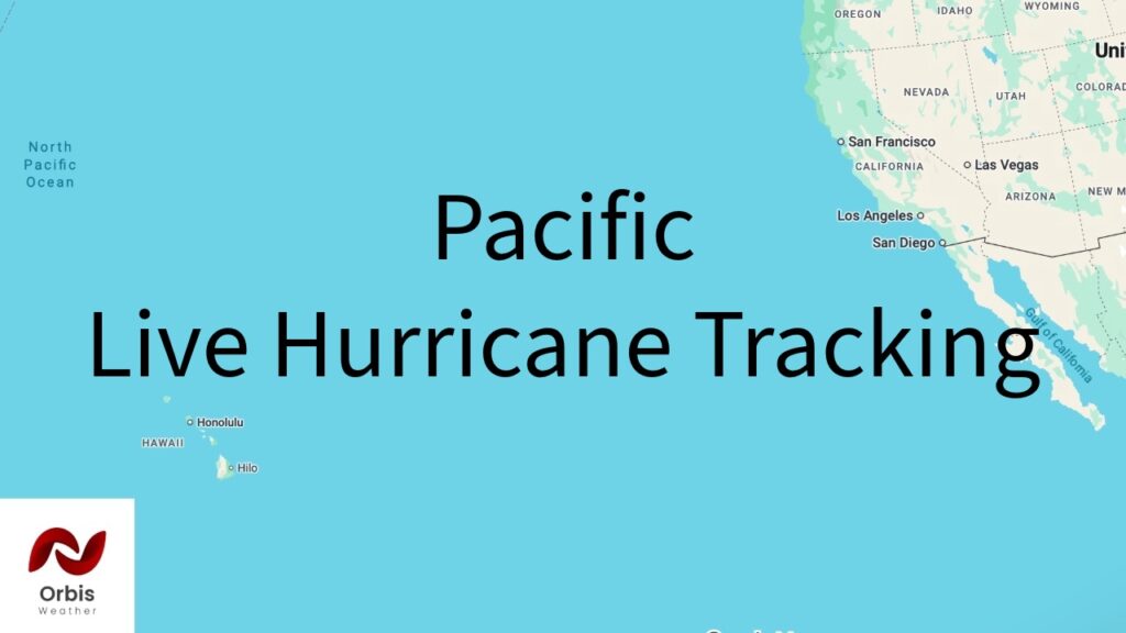
Fausto has run its course. After tracking west across the Pacific for more than a week, the storm weakened steadily as it neared Hawaii and was declared post-tropical by the Central Pacific Hurricane Center, with its last official advisory (Number 43, issued 5 a.m. HST July 29) placing the remnant low at 23.8°N, 155.6°W — about 285 miles north of Hilo — with maximum winds down to 30 mph and falling.
At its peak, Fausto reached Category 2 strength with sustained winds near 100 mph while still well east of the islands, some 1,300 miles from Baja California and 1,600 miles from Hilo. It weakened steadily on approach, dropping to tropical storm strength and then to a remnant low that forecasters said was operating in 40-45 knot wind shear and a dry air mass, making renewed development “unlikely.” The system’s forecast track kept it passing well north of the Hawaiian Islands throughout, and the final NHC advisory called for it to degenerate into an open trough within roughly 36 hours — meaning Fausto has now effectively dissipated.
Hawaii avoided a direct hit, with impacts limited to surf and swells rather than wind or rain. A High Surf Warning for east-facing shores was downgraded to a High Surf Advisory as Fausto passed north of the chain, with surf of 8 to 12 feet along exposed shores before quickly subsiding. No further advisories are expected on this system; residents and visitors should rely on routine National Weather Service forecasts going forward rather than continued storm tracking.
This article was compiled from publicly available reporting for illustrative purposes under the Orbis Weather branding. It is not an official product of the National Hurricane Center, Central Pacific Hurricane Center, NOAA, or any other national weather service. For official warnings, advisories and forecasts, consult those agencies directly.