
By Paul Harrison | Founder & Publisher, Orbis Weather

- Thailand Warns Eight Provinces of Possible Flooding as High Tides Threaten Bangkok and Coastal Communities 10:55 AM
- South America Weather & Natural Hazards Today — November 1, 2026 10:15 AM
- Central America Weather & Natural Hazards Today — Sunday, November 1, 2026 10:03 AM
- North America Weather & Natural Hazards Today Nov 1 9:46 AM
- Indonesia Forest Fire Haze Linked to More Than 3,500 Deaths in September as Air Pollution Crisis Deepens 8:37 AM
- Weekly Earth Watch: Volcanoes, Earthquakes & Natural Hazards – Week ending November 1, 2026 7:57 AM
- Daily Earthquakes, Storms, Fires & Floods Report — November 1, 2026 7:48 AM
- WESTERN PACIFIC Tropical Weather Update – November 1, 2026 7:34 AM
- Eastern & Central Pacific Tropical Weather Update: Sunday, November 1, 2026 7:27 AM
- Tropical Atlantic Daily Report: Sunday, November 1, 2026 7:20 AM
- Galápagos Islands Flood Disaster: One Dead, Two Missing as Torrential Rain Forces Families From Homes 5:26 AM
- Powerful Pacific Storm Could Bring Tornadoes, Damaging Winds and Widespread Rain Across the United States 5:07 AM





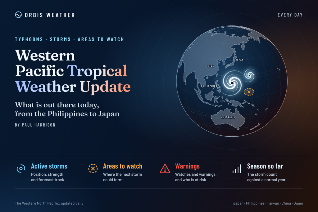
🌏 WESTERN PACIFIC Tropical Weather Update – November 1, 2026
By Paul Harrison | Orbis Weather | Sunday, November 1, 2026
Typhoon In-Fa Remains a Powerful Storm Near Japan’s Remote Pacific Islands as the Philippines Monitors Monsoon Conditions
The Western Pacific remains active as November begins, with Typhoon In-Fa (30W) continuing to churn over the open Pacific southeast of Japan.
Although the storm has moved away from the Northern Mariana Islands, it remains a significant tropical cyclone, capable of producing dangerous seas, destructive winds near its center and hazardous conditions for vessels operating in the region.
Meanwhile, the Philippines is experiencing the effects of the northeast monsoon in its far northern provinces, while localized thunderstorms remain a concern elsewhere.
The latest regional tropical cyclone advisory identifies In-Fa as the only active tropical cyclone in the Western North Pacific, with no additional tropical disturbances listed in the November 1 assessment.
🌀 1. Typhoon In-Fa: Latest Position and Strength
Typhoon In-Fa (30W)
Maximum sustained winds
109 mph
175 km/h • JTWC estimateWind gusts
132 mph
213 km/h • JTWC estimatePosition
22.8°N, 144.3°E
Southeast of Iwo To, JapanMovement
ESE at 3 kt
Approximately 3 mph / 6 km/hIn-Fa has remained a formidable cyclone after passing through the waters of the Northern Mariana Islands.
The National Weather Service in Guam reported on October 31 that the storm was moving away from the northern Commonwealth of the Northern Mariana Islands, with typhoon-force winds extending approximately 80 miles from its center at that time.
The cyclone’s slow movement and changing direction are important because they make the precise future track more difficult to assess.
Even where the strongest winds remain offshore, large swells can spread well beyond the immediate storm circulation.
🗾 2. Japan: Ogasawara Islands Remain an Area to Watch
The Ogasawara island chain, including Chichijima and Hahajima, is an important area to monitor as In-Fa remains southeast of mainland Japan.
The main potential hazards include:
🌊 Dangerous ocean swells and breaking surf.
💨 Strong winds if the cyclone or its wind field approaches inhabited islands.
🌧️ Heavy rain bands and rapidly changing visibility.
🚢 Disruption to marine transport and exposed coastal operations.
The exact severity of conditions at individual islands depends on the storm’s future track, wind-field size and weakening trend.
There is insufficient verified information in the sources reviewed to declare a direct landfall or a specific warning level for the Ogasawara Islands. Residents and mariners should consult the Japan Meteorological Agency for the latest local warnings.
🇵🇭 3. Philippines: Northeast Monsoon and Local Thunderstorms
The Philippines is entering a different weather pattern following the official onset of the northeast monsoon, locally known as Amihan, announced by PAGASA on October 27.
According to PAGASA’s November 1 weather assessment, Typhoon In-Fa remains outside the Philippine Area of Responsibility, approximately 2,310 kilometers (1,435 miles) east of extreme northern Luzon.
The agency’s afternoon assessment placed In-Fa near 22.2°N, 144.1°E, with maximum sustained winds of 150 km/h (93 mph), moving southward at 15 km/h (9 mph). These figures are from a later observation than the JTWC data above and use a different wind-averaging method.
Regional conditions
Region | Main weather concern |
|---|---|
Batanes | Northeast monsoon, isolated light rain |
Metro Manila and Luzon | Easterly winds, isolated showers and thunderstorms |
Visayas | Localized thunderstorms |
Mindanao | Localized thunderstorms |
Philippine coastal waters | Generally slight to moderate seas, 0.6–2.5 m |
Although In-Fa is not currently threatening the Philippine mainland directly, thunderstorms elsewhere can still produce localized flooding.
The northeast monsoon will also become increasingly important during November, potentially bringing cooler conditions, stronger northeasterly winds and rougher seas during individual surges.
🇬🇺 4. Guam and Northern Mariana Islands: Storm Moving Away
Conditions around Guam and the Northern Mariana Islands are improving in terms of In-Fa’s proximity.
The National Weather Service Guam advisory issued October 31 reported no tropical cyclone watches or warnings in effect within its warning area at that time.
In-Fa was already hundreds of miles northwest of Guam and moving away from the islands.
Nevertheless, residents and marine operators should continue checking local forecasts for residual swell, rough seas and hazardous surf. The absence of a typhoon warning does not automatically mean every coastal activity is safe.
🌏 5. Other Western Pacific Areas
🇹🇼
Taiwan and the East China Sea
In-Fa’s latest analyzed position is far east of Taiwan. No direct Taiwan landfall is established by the guidance reviewed. Localized heavy rainfall, seasonal winds and marine conditions should be monitored through Taiwan’s Central Weather Administration.
🇨🇳
Southern China and the South China Sea
No additional named tropical cyclone was identified in the JTWC’s November 1 Western North Pacific basin summary. This does not rule out locally heavy rain or rough seas from other weather systems.
🇯🇵
Mainland Japan and Okinawa
The principal cyclone concern remains farther southeast around the Ogasawara region. In-Fa’s changing track requires continued monitoring before making conclusions about later impacts elsewhere in Japan.
🛰️ 6. Additional Tropical Development
The JTWC Significant Tropical Weather Advisory valid November 1 at 06:00 UTC reported:
One active Western North Pacific tropical cyclone: Typhoon In-Fa (30W).
No other tropical cyclones in the basin.
No additional tropical disturbances identified.
No subtropical systems identified.
This is an important distinction: the absence of additional monitored disturbances does not guarantee that new tropical cyclones cannot form during the next seven days.
The Western Pacific can support tropical cyclone development throughout the year, including November and December.
📅 7. Western Pacific Seven-Day Outlook: November 1–7
The main forecast issue is In-Fa’s unusually slow and changing movement near the Ogasawara region.
Japan’s Weathernews reported on November 1 that the typhoon could move westward before turning north and northeast later in the week, with prolonged high surf affecting the Ogasawara Islands. This remains a forecast, not a confirmed track.
Period | Main forecast concern |
|---|---|
Sun, Nov 1 | In-Fa remains a powerful typhoon southeast of Japan |
Mon, Nov 2 | Slow movement and possible westward drift |
Tue, Nov 3 | Potential northward turn; monitor Ogasawara |
Wed, Nov 4 | Track uncertainty and continued marine hazards |
Thu, Nov 5 | Possible closer approach west of Chichijima and Hahajima |
Fri, Nov 6 | Possible northeastward movement; intensity uncertain |
Sat, Nov 7 | Longer-range track and remaining coastal hazards require reassessment |
Forecast confidence is lower later in the period. This outlook summarizes published guidance and should not be interpreted as a new Orbis Weather numerical forecast.
🌊 8. Main Weather Hazards to Monitor
Dangerous surf and marine conditions
In-Fa can generate large swells that travel considerable distances. Exposed islands and shipping routes are particularly vulnerable.
Damaging winds
Areas close to the storm’s core face the greatest wind threat. Any changes in track could alter which islands experience stronger conditions.
Heavy rainfall and flash flooding
Tropical rain bands and unrelated thunderstorms can produce localized flooding, particularly in mountainous and poorly drained areas.
Landslides
Prolonged heavy rain can destabilize steep slopes, especially where soils are already saturated.
These are potential weather hazards, not claims that each is occurring at every location mentioned.
🌡️ 9. Why November Can Still Produce Powerful Typhoons
Unlike the Atlantic hurricane season, the Western North Pacific has no fixed official season.
Warm ocean water, atmospheric moisture, low vertical wind shear and favorable circulation patterns can support tropical cyclone formation outside the usual peak months.
The developing strong El Niño is also an important background factor in the 2026 season. However, it would be scientifically inaccurate to attribute In-Fa’s formation or intensity solely to El Niño without a dedicated attribution analysis.
❓ 10. Frequently Asked Questions
Is there an active typhoon in the Western Pacific?
Yes. Typhoon In-Fa (30W) is active on November 1, 2026, southeast of Japan.
Is Typhoon In-Fa a super typhoon?
In-Fa previously reached super-typhoon strength, but its JTWC estimated winds at 00:00 UTC November 1 had decreased to 95 knots. It was therefore below JTWC’s super-typhoon threshold at that observation time.
Will Typhoon In-Fa hit the Philippines?
The available November 1 information places In-Fa far outside the Philippine Area of Responsibility. A Philippine landfall is not indicated by the guidance reviewed.
Is Guam still under a typhoon warning?
The October 31 NWS Guam advisory reported no tropical cyclone watches or warnings in effect. Check subsequent NWS Guam bulletins for any changes.
Could Japan be affected?
Yes. The Ogasawara Islands face the possibility of prolonged rough seas and worsening wind and rain conditions. The exact track remains uncertain.
Are more typhoons forming?
No additional tropical disturbances were identified in the JTWC’s November 1 regional advisory. New development remains possible later in the week.
📡 11. Official Weather Sources and Monitoring
Orbis Weather uses recognized meteorological agencies and publicly available forecast products when preparing its tropical weather coverage.
Agency | Primary information |
|---|---|
Official typhoon positions, forecasts and warnings | |
Tropical cyclone analysis and track guidance | |
Philippine tropical cyclone bulletins and local forecasts | |
Guam and Mariana Islands forecasts and warnings | |
Taiwan weather and marine advisories |
Editorial methodology and transparency
This article was prepared by Paul Harrison for Orbis Weather using agency bulletins and forecast information available for November 1, 2026.
Reported storm positions and intensities are attributed to their issuing agencies. Differences between agency measurements may reflect different observation times, averaging periods and analytical methods.
Forecast interpretations are distinguished from observed conditions. Orbis Weather does not issue official tropical cyclone warnings, and this article is not a substitute for local emergency instructions.
Weather conditions can change rapidly, and forecasts may become outdated between updates. Readers should always verify current conditions using the official sources linked above.
Corrections to verified factual errors should be made transparently, with the corrected information and update date identified.
🌍 12. Final Outlook: In-Fa Remains the Basin’s Main Concern
Typhoon In-Fa continues to dominate Western Pacific tropical weather activity as November begins.
Although the threat to Guam and the Northern Mariana Islands has decreased as the cyclone moves away, the changing track near Japan’s remote Ogasawara Islands remains an important concern.
The possibility of prolonged dangerous surf, strong winds and heavy rainfall means that In-Fa should continue to be monitored closely.
Elsewhere, the Philippines is transitioning into its northeast monsoon season, while no additional tropical cyclone development has been identified in the latest JTWC basin advisory.
Orbis Weather will continue monitoring the Western Pacific for significant changes in tropical cyclone activity, marine hazards and regional weather threats.
Stay informed. Stay prepared. Stay safe.
Paul Harrison
Orbis Weather
About the Author
Paul Harrison — Founder & Publisher, Orbis Weather
Paul Harrison founded Orbis Weather in 2026 to make global weather and natural-hazard information easier to find, follow and understand. His coverage includes tropical cyclones, severe weather, extreme temperatures, earthquakes, volcanoes, wildfires, flooding and significant natural disasters worldwide.
View all articles by Paul Harrison → | Editorial Standards →
🌀 Western Pacific Basin
Live typhoon tracking, tropical cyclone activity, satellite imagery, weather, sea-surface temperatures and waves across the Western North Pacific, including Japan, the Philippines, Taiwan, Guam and Micronesia.
⚠️ Western Pacific Tropics Right Now
Live basin status🌀 Western Pacific Storm Tracker
Live tropical cyclones · click a storm for track/cone🌀 Western Pacific Storm Tracker
Live tropical cyclones across the Western Pacific. Drag to pan, Ctrl/⌘+scroll to zoom, and click a storm to show its track and cone.