
By Paul Harrison | Founder & Publisher, Orbis Weather

- Europe’s Hot Spots This Week Oct 30 3:03 PM
- Central America Weather & Natural Hazards Today — Friday, October 30, 2026 2:47 PM
- Bhutan Glacial Lake Outburst Triggers Flash Flood Emergency in India’s Bengal and Assam 8:51 AM
- Cyclone Arnab Aftermath 8:33 AM
- Global Natural Disasters This Week — October 30, 2026 7:51 AM
- Daily Earthquakes, Storms, Fires & Floods Report — October 30, 2026 7:42 AM
- Western Pacific Tropical Weather Oct 30 7:27 AM
- Eastern & Central Pacific Tropical Weather Update: Friday, October 30, 2026 7:16 AM
- Tropical Atlantic Daily Report: Friday, October 30, 2026 7:05 AM





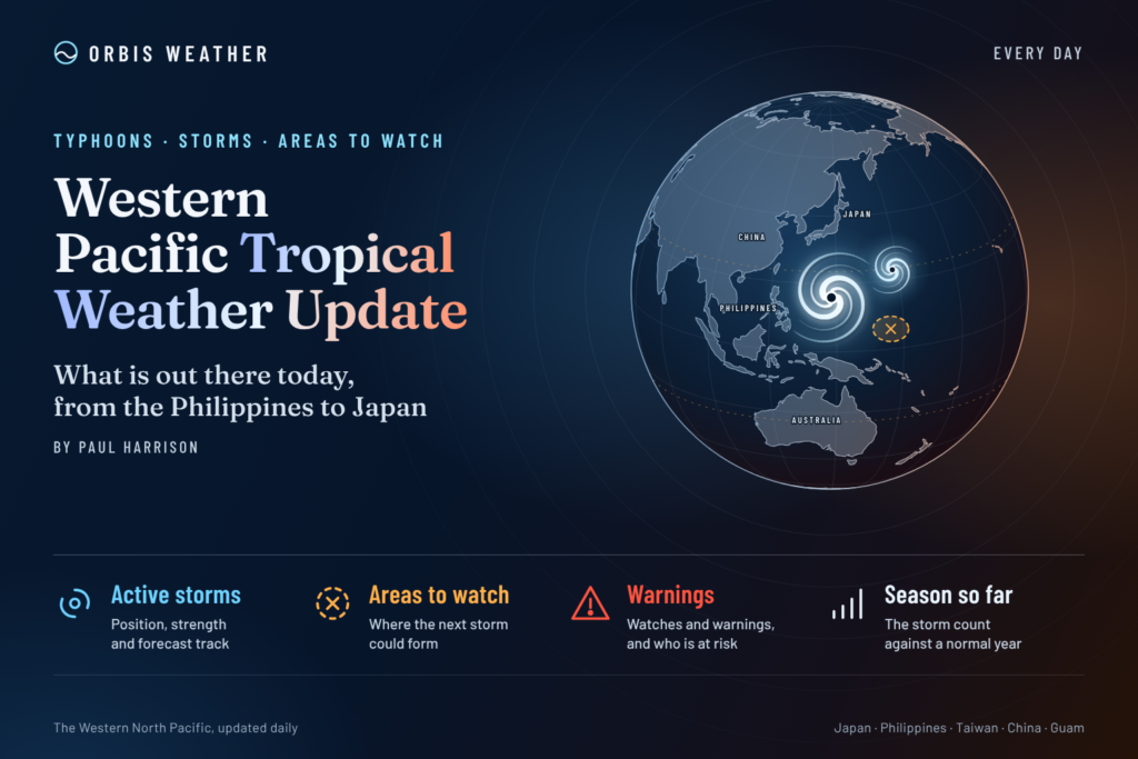
Western Pacific Tropical Weather Update: Powerful Typhoon In-fa Threatens Northern Mariana Islands as New Low Develops Near Philippines
By Paul Harrison | Orbis Weather | Friday, October 30, 2026
🌪️ Typhoon In-fa is sweeping through the Northern Mariana Islands with destructive winds, while a separate low-pressure system east of the Philippines brings additional concerns about heavy rainfall and flooding.
The Western Pacific remains highly active as October draws to a close, with one powerful tropical cyclone and another area of disturbed weather requiring close monitoring.
The immediate danger comes from Typhoon In-fa, designated 30W by the Joint Typhoon Warning Center (JTWC). The storm has intensified into an extremely powerful system and is passing close to the northernmost Mariana Islands.
Meanwhile, the Philippine Atmospheric, Geophysical and Astronomical Services Administration (PAGASA) is monitoring a low-pressure area east of Eastern Samar, along with a shear line bringing unsettled weather to parts of Luzon.
🚨 Western Pacific Tropical Activity — October 30
🌪️ Typhoon In-fa (30W)
Maximum sustained winds
145 mph
233 km/h · NWS 1-minute estimateMovement
West-northwest
22 mph / 35 km/hPosition
18.7°N, 146.2°E
Latest advisory
06:00 UTC, October 30
Source: National Weather Service Guam, 4:00 p.m. Chamorro Standard Time advisory.
🌪️ 1. Typhoon In-fa: Dangerous Conditions in the Northern Marianas
Typhoon In-fa is the dominant weather system in the Western Pacific.
According to the National Weather Service in Guam, at 4:00 p.m. local time on Friday, October 30, In-fa was located approximately 35 miles (56 km) east of Agrihan, 50 miles (80 km) northeast of Pagan, and 80 miles (129 km) north-northeast of Alamagan.
Typhoon warnings remain in effect for Agrihan, Pagan and Alamagan, where dangerous typhoon conditions are occurring.
The storm is moving rapidly west-northwest, bringing the risk of destructive winds, intense rainfall, coastal flooding and extremely hazardous marine conditions.
What happens next?
Forecast guidance indicates that In-fa will continue northwestward away from the Mariana Islands, although the precise track and intensity remain subject to change.
The Japan Meteorological Agency’s forecast places the cyclone farther northwest by October 31, still maintaining typhoon strength.
Residents of the northern Mariana Islands should continue following official emergency instructions, while marine operators should avoid affected waters until conditions improve.
Important: The storm’s strongest winds are not necessarily experienced directly beneath its center. Dangerous weather can extend well beyond the forecast track.
🌧️ 2. Philippines: Low-Pressure Area East of Eastern Samar
PAGASA reported a low-pressure area approximately 475 km (295 miles) east of Borongan City, Eastern Samar, at 3:00 p.m. Philippine Standard Time on October 30.
The disturbance is bringing cloudy skies, scattered rainfall and thunderstorms across parts of the Visayas, Mindanao and Palawan.
Moderate to occasionally heavy rain may cause localized flash flooding and landslides, particularly in mountainous areas and communities with poor drainage.
The low-pressure area has not been confirmed as a tropical depression in the referenced advisory. Its development potential should be reassessed through subsequent PAGASA tropical weather bulletins.
🌦️ 3. Northern Philippines: Shear Line and Northeast Monsoon
A separate weather concern is affecting northern and central Luzon.
PAGASA identifies a shear line affecting the eastern sections of Northern and Central Luzon, with the northeast monsoon influencing other northern areas.
Cagayan, Isabela, Aurora and Quezon can experience scattered rain and isolated thunderstorms, with flash flooding or landslides possible where rainfall becomes persistent.
Coastal waters around Luzon are forecast to be moderate, with waves approximately 1.5–2.5 metres (5–8 feet).
These conditions are not necessarily caused by Typhoon In-fa, which remains far to the east of the Philippines.
🗾 4. Japan and the Ogasawara Islands: In-fa’s Next Potential Threat
The Japan Meteorological Agency forecasts Typhoon In-fa to approach waters near the Ogasawara Islands during the weekend.
Its October 30 forecast suggests that the cyclone could slow and change direction several times during the following five days, creating uncertainty about its longer-term movement.
The agency forecasts the system to remain a very strong typhoon through at least November 4, although both its intensity and projected position may change substantially.
Residents, shipping operators and travellers in the Ogasawara region should monitor subsequent forecasts for changes in wind, wave and rainfall threats.
There is currently insufficient evidence in these advisories to predict a direct landfall on mainland Japan.
🌊 5. Guam, Palau, Yap and Micronesia: Monsoon Trough Activity
The National Weather Service Guam’s tropical weather discussion identifies an active monsoon trough extending across parts of the western tropical Pacific.
A broad circulation northwest of Koror, Palau, is associated with showers and thunderstorms, while additional disturbed weather is present north of Yap.
Farther east, scattered showers extend toward Kwajalein and Majuro, with several trade-wind troughs producing additional cloudiness and rainfall.
These features do not automatically indicate tropical cyclone formation. However, persistent thunderstorms, increasing low-level circulation and improving atmospheric organization are important indicators to monitor.
📅 6. Western Pacific Outlook: October 30 – November 4
Period | Forecast development | Main concern |
|---|---|---|
Oct. 30 | In-fa passes near northern Marianas | Destructive winds and hazardous seas |
Oct. 31 | In-fa tracks northwest | Marine hazards toward Ogasawara region |
Nov. 1 | Potential slowing and north-northeast movement | Track uncertainty |
Nov. 2–3 | Possible westward turn south of Japan | Continued typhoon monitoring |
Nov. 4 | Strong cyclone may remain south of Japan | Winds, waves and uncertain track |
Forecast interpretation based on JMA guidance issued October 30. These are projections, not observed future conditions.
⚠️ 7. Areas to Watch
Northern Mariana Islands — Immediate threat
Typhoon warnings and destructive wind conditions associated with In-fa.
Ogasawara Islands — Developing threat
Monitor In-fa’s changing track and marine impacts over the next several days.
Philippines — Heavy rainfall risk
Low-pressure area, shear line and monsoon conditions could trigger localized flooding.
Palau and Yap — Disturbed weather
Monsoon-related showers and thunderstorms warrant continued monitoring.
🔬 8. Why Western Pacific Typhoons Can Be So Powerful
The Western Pacific contains some of the world’s warmest tropical ocean waters, providing a substantial energy source for tropical cyclones.
However, warm water alone does not produce a typhoon.
Several atmospheric and oceanic conditions influence development:
Warm, deep ocean water: Supplies heat and moisture that fuel thunderstorms.
Low vertical wind shear: Allows the cyclone’s circulation to remain vertically organized.
Atmospheric moisture: Supports sustained deep convection near the storm’s center.
Upper-level outflow: Helps remove air from above the cyclone, supporting lower surface pressure.
Ocean heat content: Determines how much energy remains available when strong winds churn and cool surface waters.
Typhoons can strengthen rapidly when these factors become favorable. Conversely, dry air, stronger wind shear, cooler water or interaction with land can cause weakening.
The Western Pacific has no fixed official tropical cyclone season. Although activity typically peaks during the warmer months, tropical cyclones can develop at any time of year.
🛟 9. Safety Advice for Residents and Travellers
Anyone within an active typhoon warning area should follow instructions issued by local emergency management authorities.
Avoid exposed coastlines, do not attempt to travel through flooded roads, and keep away from damaged electrical infrastructure.
Small vessels and recreational boaters should postpone trips when typhoon warnings, gale warnings or hazardous marine advisories are in effect.
Travellers should check directly with airlines, ferry operators and airport authorities before departing. Flight or ferry disruptions should not be assumed unless officially announced.
🌏 10. Orbis Weather Assessment
Typhoon In-fa is the most significant tropical cyclone threat across the Western Pacific in this update.
The immediate concern is the northern Mariana Islands, where dangerous winds and hazardous marine conditions are occurring. Attention will then turn toward waters south of Japan, where the storm’s potentially complex track makes continued monitoring essential.
Meanwhile, the low-pressure area east of Eastern Samar and the shear line across Luzon present separate rainfall concerns for the Philippines.
The key message: The Western Pacific remains active, and the greatest danger is not limited to a storm’s forecast centerline.
Orbis Weather will continue following official meteorological bulletins, satellite observations and tropical cyclone guidance as conditions evolve.
📡 Official Sources and Live Monitoring
This report is based on official meteorological observations, public warnings and forecast products.
Agency | Information |
|---|---|
Official typhoon positions and forecasts | |
Mariana Islands warnings and tropical weather discussions | |
Tropical cyclone tracks and intensity estimates | |
Philippine weather forecasts and cyclone bulletins | |
Global disaster alerts and tropical cyclone impact information |
About the Author
Paul Harrison — Founder & Publisher, Orbis Weather
Paul Harrison founded Orbis Weather in 2026 to make global weather and natural-hazard information easier to find, follow and understand. His coverage includes tropical cyclones, severe weather, extreme temperatures, earthquakes, volcanoes, wildfires, flooding and significant natural disasters worldwide.
View all articles by Paul Harrison → | Editorial Standards →
🌀 Western Pacific Basin
Live typhoon tracking, tropical cyclone activity, satellite imagery, weather, sea-surface temperatures and waves across the Western North Pacific, including Japan, the Philippines, Taiwan, Guam and Micronesia.
⚠️ Western Pacific Tropics Right Now
Live basin status🌀 Western Pacific Storm Tracker
Live tropical cyclones · click a storm for track/cone🌀 Western Pacific Storm Tracker
Live tropical cyclones across the Western Pacific. Drag to pan, Ctrl/⌘+scroll to zoom, and click a storm to show its track and cone.