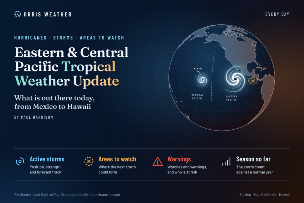
Eastern & Central Pacific Tropical Weather Update: Friday, October 30, 2026
By Paul Harrison, Orbis Weather
Current to 6:47 a.m. EDT / 12:47 a.m. HST / 10:47 UTC, Friday, October 30, 2026. Products used: NHC Eastern North Pacific Tropical Weather Outlook, 11 p.m. PDT Thursday, Oct. 29 (06:00 UTC Oct. 30); CPHC Central North Pacific Tropical Weather Outlook, 8 p.m. HST Thursday, Oct. 29 (06:00 UTC Oct. 30); final NHC advisory (No. 35) on the remnants of Vance, 8 p.m. MST Thursday, Oct. 29 (03:00 UTC Oct. 30); NHC Eastern Pacific Tropical Weather Discussion, 10:05 UTC Friday, Oct. 30.
At a glance
Both Pacific basins are free of tropical cyclones this morning after Vance lost its center off western Mexico, but its remnant moisture is still bringing rain and surf hazards.
- No active storms. The National Hurricane Center (NHC) issued its final advisory on Vance at 8 p.m. MST Thursday, saying it “no longer has a well-defined center.” No coastal watches or warnings are in effect.
- No storm is threatening land, but Vance’s remnants could still cause flooding and mudslides in coastal Sinaloa, dangerous surf along western Mexico and southern Baja California, and flash flooding in the US Southwest and Southern Plains.
- One area to watch: a broad low is forecast to form well southeast of Hawaii this weekend or early next week, with a low 30 percent chance of formation over seven days.
- Season to date: the eastern Pacific has run well above normal, with 21 named storms on NHC’s list against an average of 15 for a full season.
The National Hurricane Center, the Central Pacific Hurricane Center (CPHC) and national weather services, including Mexico’s Servicio Meteorológico Nacional (SMN), issue the official forecasts and warnings. Follow any evacuation order immediately.
Active storms
There are no active tropical or subtropical cyclones or potential tropical cyclones in the eastern or central North Pacific, according to NHC’s homepage at 10:30 UTC Friday.
Remnants of Vance. Vance formed on Oct. 21 and peaked as a major hurricane at 100 knots, about 115 mph [185 km/h], with a pressure of 961 mb, per NHC’s season list. NHC’s final advisory (No. 35, 8 p.m. MST Thursday) placed the remnants at 20.7°N, 107.7°W, about 190 miles [310 km] south-southwest of Mazatlán. Maximum winds were 30 mph [45 km/h], pressure 1008 mb, and movement north-northeast at 8 mph [13 km/h]. NHC’s discussion forecast the remnants to dissipate by 12:00 UTC Friday and made no landfall statement.
Hazard | NHC wording (Advisory 35, 8 p.m. MST Oct. 29) |
|---|
Rain, Mexico | 1 to 2 inches [25 to 50 mm] across central and southern Sinaloa, far southwestern Durango and far northwestern Nayarit into early Friday; isolated totals over 4 inches [100 mm] possible on coastal Sinaloa; “flooding and mudslides” possible, “especially in areas along steep terrain” |
Rain, United States | Moisture “will enhance rainfall over the Southwestern United States and Southern Plains leading to a threat of flash flooding over the next few days” |
Surf | Swells affecting southwestern and west-central Mexico and the southern Baja California peninsula “during the next day or so,” likely to cause “life-threatening surf and rip current conditions” |
Recent impacts. OCPN rain gauges recorded 70 mm [2.8 inches] at a dam in Elota, Sinaloa, in the 24 hours to 8 a.m. Thursday (Línea Directa, Oct. 29). Mexico’s national civil protection agency issued an “aviso urgente” (urgent notice) for Sinaloa residents to step up precautions Thursday (Luz Noticias, Oct. 29). Reports published Oct. 29 gave rain totals and alerts but no casualty or damage figures. In Texas, Gov. Greg Abbott activated state emergency resources on Oct. 28 ahead of possible flash flooding in West and South-Central Texas tied partly to Vance’s remnants (TDEM, Oct. 28).
Disturbances to watch
One area is being monitored, and NHC and CPHC both rate its chances as low.
Area | Basin | Location | 48-hour chance | 7-day chance | Outlook issue time |
|---|
Broad low expected to form | Eastern Pacific, forecast to move into the Central Pacific | Well southeast of the Hawaiian Islands | Near 0% | 30% (low) | 11 p.m. PDT Oct. 29 (NHC); 8 p.m. HST Oct. 29 (CPHC) |
Both outlooks say the low is forecast to develop “this weekend or early next week,” after which conditions “appear generally favorable for some slow development” as it moves west to west-northwest.
NHC’s 10:05 UTC Tropical Weather Discussion mentions no tropical waves. It places the ITCZ from 7°N, 89°W to 5°N, 119°W, with scattered showers along it. Fresh to strong gap winds over the Gulf of Tehuantepec, with seas of 6 to 8 feet [1.8 to 2.4 m], are forecast to diminish by Monday night.
Season so far
The 2026 eastern Pacific season has already passed full-season averages for named storms, hurricanes and major hurricanes.
Eastern Pacific | 2026, NHC storm list (as of 03 UTC Oct. 30) | 2026, NHC summary box (same page) | 1991-2020 average by Oct. 30 | 1991-2020 full-season average |
|---|
Named storms | 21 | 20 | about 14 | 15 |
Hurricanes | 12 | 10 | 8 | 8 |
Major hurricanes (Category 3+) | 10 | 8 | 4 | 4 |
The storm-by-storm list and the summary box on NHC’s 2026 season page give different totals; both are shown. Averages by date come from NHC’s climatology table, where the 14th named storm normally forms by Oct. 15 and the 15th by Nov. 5. The list includes Lowell and Nolo, which formed in the eastern Pacific but peaked outside it.
In the central Pacific, three named storms formed in the basin through Oct. 25: Lala (a major hurricane), Moke and Olana (both tropical storms), per NHC’s central Pacific season page. That page does not list 1991-2020 normals.
ENSO: NOAA’s Climate Prediction Center kept an El Niño Advisory in its Oct. 8 discussion, saying “El Niño continues to strengthen, with a strong-to-very strong El Niño likely through January-March 2027.” NHC’s climatology page notes that moderate to strong El Niño years are correlated with more central Pacific activity and late-season storms.
What to watch next
- Low southeast of Hawaii: NHC and CPHC Tropical Weather Outlooks, issued about every six hours, will show whether the low forms this weekend or early next week and whether its 30 percent odds change.
- Rain in Sinaloa, Durango and Nayarit: SMN and Mexico’s civil protection agencies issue local rain alerts as Vance’s remnant moisture moves inland.
- Flash flooding in the US Southwest and Southern Plains: local National Weather Service offices issue flood watches and warnings over the next few days.
- Surf in western Mexico and southern Baja California: rip current risk from Vance’s swells is expected to last “the next day or so,” per NHC; local authorities advise on beach conditions.
- ENSO update: the Climate Prediction Center’s next ENSO discussion is scheduled for Nov. 12.
About this report
This daily update covers the eastern North Pacific, east of 140°W, where NHC in Miami issues forecasts, and the central North Pacific, from 140°W to the International Date Line, covered by CPHC in Honolulu. It draws on NHC and CPHC outlooks, advisories and discussions, NOAA climatology and ENSO products, Mexican and US agency statements and news reports, with issue times listed above and in Sources. Storm times appear in the zone each product uses: MST for advisories near Sinaloa, PDT for the eastern Pacific outlook and HST for CPHC. Figures can change with each new product, which replaces those here.
Glossary
- Tropical wave: an elongated area of low pressure moving east to west across the tropics; some later develop into tropical cyclones.
- ITCZ / monsoon trough: a band of converging winds and showers near the equator where many eastern Pacific storms begin.
- Gap winds: strong winds funneled through mountain passes in southern Mexico and Central America into the Gulfs of Tehuantepec and Papagayo.
- Remnants: what is left of a tropical cyclone once it loses the organized structure of one; NHC ended advisories on Vance Thursday when it no longer had a well-defined center.
- Major hurricane: a hurricane of Category 3 or higher on the Saffir-Simpson scale, with winds of at least 111 mph [178 km/h].
Frequently asked questions
Is Vance still a threat? Vance is no longer a tropical cyclone, and NHC has stopped issuing advisories on it. Its remnant moisture can still bring flooding and mudslides to parts of Sinaloa and dangerous surf to western Mexico and southern Baja California. Local SMN and civil protection alerts are the guide now.
Will Vance’s moisture reach the United States? NHC’s final advisory says the moisture will enhance rainfall over the US Southwest and Southern Plains, with a flash flood threat over the next few days. Texas activated state emergency resources on Oct. 28 for possible flooding in West and South-Central Texas.
Is Hawaii at risk from the low to its southeast? Not at present. The low has not formed yet, and NHC and CPHC give it near 0 percent odds of becoming a tropical cyclone within 48 hours and 30 percent within seven days.
Is the hurricane season over? No. The eastern and central Pacific seasons both run through Nov. 30. This year the eastern Pacific has already exceeded its full-season averages, per NHC’s season list and climatology.
Sources
- NHC homepage — last update 10:30 UTC Oct. 30, 2026
- NHC Eastern North Pacific Tropical Weather Outlook — 11 p.m. PDT Oct. 29, 2026
- NHC Graphical Tropical Weather Outlook, eastern Pacific — text dated 11 a.m. PDT Oct. 29, 2026
- NHC Eastern Pacific Tropical Weather Discussion — 10:05 UTC Oct. 30, 2026
- CPHC Central North Pacific Tropical Weather Outlook — 8 p.m. HST Oct. 29, 2026
- NHC Graphical Tropical Weather Outlook, central Pacific — text dated 2 a.m. HST Oct. 29, 2026
- NHC Public Advisory 35, Remnants of Vance — 8 p.m. MST Oct. 29, 2026
- NHC Forecast Discussion 35, Remnants of Vance — 8 p.m. MST Oct. 29, 2026
- NHC Public Advisory 33, Tropical Storm Vance — 8 a.m. MST Oct. 29, 2026
- NHC 2026 eastern Pacific season list — updated Oct. 30, 2026
- NHC 2026 central Pacific season list — updated Oct. 25, 2026
- NHC tropical cyclone climatology — 1991-2020 averages
- NOAA CPC ENSO Diagnostic Discussion — Oct. 8, 2026
- NWS Honolulu — map updated 11:58 a.m. HST Oct. 29, 2026
- Línea Directa: Elota registró 70 mm en solo 24 horas — Oct. 29, 2026
- Luz Noticias: Vance se intensifica nuevamente a tormenta tropical — Oct. 29, 2026
- Infobae: Vance se intensifica de nuevo a tormenta tropical — Oct. 29, 2026
- Texas Division of Emergency Management press release — Oct. 28, 2026