
North America Weather & Natural Hazards Today
By Paul Harrison | Founder & Publisher, Orbis Weather

- South America Weather & Natural Hazards Today — November 4, 2026 8:14 AM
- Central America Weather & Natural Hazards Today: Heavy Rain, Dangerous Flooding and Landslide Threats Increase Across the Region 8:05 AM
- North America Weather & Natural Hazards Today: Heavy Mountain Snow, Flash Flood Risks and Atlantic Tropical Development 7:53 AM
- Daily Earthquakes, Storms, Fires & Floods Report — November 4, 2026 7:41 AM
- Weekly Earth’s Extreme Weather Report — Wednesday, November 4, 2026 7:34 AM
- Tropical Atlantic Daily Report: Wednesday, November 4, 2026 7:26 AM
- Eastern & Central Pacific Tropical Weather Update: Wednesday, November 4, 2026 7:11 AM
- WESTERN PACIFIC Tropical Weather Update: Typhoon In-Fa Remains Active as Storm Turns North 6:58 AM





🌎 North America Weather & Natural Hazards Today: Heavy Mountain Snow, Flash Flood Risks and Atlantic Tropical Development
By Paul Harrison | Orbis Weather | Wednesday, November 4, 2026
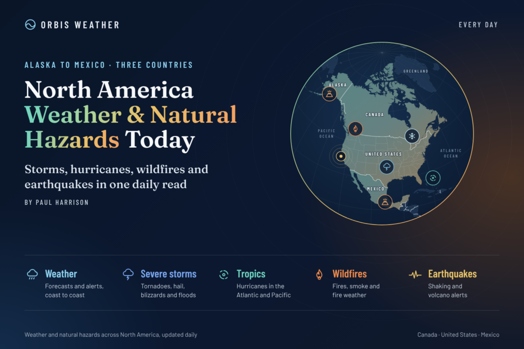
From heavy snowfall in the Colorado Rockies to flooding concerns across the southeastern United States, rainfall warnings in Canada and thunderstorms in Mexico, North America faces a varied weather picture today. Meanwhile, forecasters are monitoring a potential tropical or subtropical system between the Bahamas and Bermuda.
As November progresses, the transition toward winter is becoming increasingly apparent across North America. Cold-season storms are developing over higher elevations, while warmer, moisture-rich air continues to support heavy rainfall and thunderstorms farther south.
Today’s Orbis Weather report examines the major weather systems and natural hazards affecting the United States, Canada, Mexico and surrounding regions, including the outlook for the next 24–72 hours.
🚨 North America Weather Highlights — November 4
Region | Main weather concern |
|---|---|
🇺🇸 Colorado Rockies | Heavy mountain snow and hazardous travel |
🇺🇸 Ohio and Tennessee Valleys | Heavy showers and isolated flash flooding |
🇺🇸 Southeast Florida | Localized excessive rainfall |
🇨🇦 Northern Ontario | Rainfall warnings, including Thunder Bay |
🇲🇽 Southern Mexico | Heavy showers and thunderstorms |
🇲🇽 Northeastern Mexico | Gusty winds and frontal rainfall |
🌊 Western Atlantic | Possible tropical or subtropical development |
These hazards are supported by the latest available outlooks from NOAA’s Weather Prediction Center, Environment and Climate Change Canada, Mexico’s National Meteorological Service and tropical weather forecasters.
🇺🇸 United States Weather Today
❄️ Colorado Rockies: Heavy Snowfall and Dangerous Mountain Conditions
One of today’s most significant winter weather concerns is developing across the central Colorado Rockies.
According to NOAA’s Weather Prediction Center, a low-pressure system moving eastward from the Great Basin is drawing unusually high atmospheric moisture into the central Rockies. Combined with favorable upper-level winds and upslope airflow, this is expected to produce substantial snowfall at higher elevations.
The forecast indicates:
Snowfall rates exceeding 1 inch (2.5 cm) per hour in some mountain areas.
Localized snowfall rates potentially exceeding 2 inches (5 cm) per hour.
A 50–70% probability of snowfall exceeding 8 inches (20 cm) in some mountain ranges above 10,000 feet.
A 20–50% probability of localized totals exceeding 12 inches (30 cm) in parts of the Sawatch and Mosquito ranges.
The heaviest snowfall is expected Wednesday evening into early Thursday, with conditions improving before sunrise Thursday.
Travelers using high-elevation mountain passes should anticipate reduced visibility, snow-covered roads and potentially hazardous driving conditions. Lower-elevation communities may experience substantially different conditions.
🌧️ Ohio Valley, Tennessee Valley and Southern Appalachians: Flash Flood Concerns
A slow-moving cold front is producing an unsettled weather pattern across portions of the eastern United States.
NOAA has identified a Marginal Risk (Level 1 of 4) of excessive rainfall across parts of the Ohio and Tennessee Valleys and the southern Appalachian region.
Repeated showers and embedded thunderstorms may produce rainfall rates of approximately 1–1.5 inches (25–38 mm) per hour in localized areas.
Although widespread significant flooding is not expected, isolated flash flooding remains possible, particularly in locations where thunderstorms repeatedly move across the same communities.
Motorists should avoid flooded roadways, while residents near small streams, creeks and low-lying roads should monitor local forecasts.
🌴 Florida: Heavy Rainfall Risk in the Southeast
Southeastern Florida is another area highlighted in NOAA’s November 4 excessive rainfall outlook.
A Marginal Risk of excessive rainfall indicates that isolated flooding is possible where heavier showers or thunderstorms develop.
Urban areas with poor drainage may be particularly vulnerable to temporary street flooding.
For residents and visitors across Miami-Dade, Broward and Palm Beach counties, the main concern is the potential for localized heavy rainfall rather than a confirmed regionwide flooding event.
Conditions elsewhere in Florida will vary, and readers should consult local National Weather Service forecasts for precise timing and rainfall totals.
🇨🇦 Canada Weather Today
🌧️ Northern Ontario: Rainfall Warnings in Effect
Environment and Climate Change Canada is reporting multiple rainfall warnings across northern Ontario.
Areas listed under yellow rainfall warnings include Thunder Bay, Nipigon–Rossport, Marathon–Schreiber, Wawa–Pukaskwa Park and several other communities around the Lake Superior region.
Additional communities are under special weather statements.
Periods of persistent rainfall can create difficult driving conditions, standing water and increased runoff, especially where drainage systems become overwhelmed.
Residents should monitor updated provincial and local alerts, as warning areas and expected conditions may change during the day.
🍁 Other Canadian Regions: Winter Preparedness
Across the Canadian Prairies, northern territories, British Columbia, Quebec and Atlantic Canada, November brings an increasing potential for frost, snowfall, icy roads and rapidly changing weather.
These are seasonal considerations rather than confirmed widespread warnings for today.
Travelers should pay particular attention to overnight temperatures, mountain-pass forecasts and rapidly changing conditions in northern communities.
For current Canadian alerts, visit Environment and Climate Change Canada.
🇲🇽 Mexico Weather Today
⛈️ Guerrero, Oaxaca and Michoacán: Heavy Rain and Thunderstorms
Mexico’s Servicio Meteorológico Nacional (SMN) forecasts showers and locally heavy rainfall across parts of southern and western Mexico on Wednesday.
An upper-level cyclonic circulation and trough offshore of Mexico’s southern Pacific coast, combined with Pacific moisture, are expected to support thunderstorms affecting Michoacán, Guerrero and Oaxaca.
Possible hazards include lightning, gusty winds, hail, localized flooding and landslides in vulnerable terrain.
Communities in mountainous areas should remain alert to rapid runoff, particularly where intense rainfall develops over steep slopes.
💨 Northeastern Mexico: Cold Front Brings Gusty Winds
Mexico’s Cold Front No. 4 is forecast to remain over the northeastern part of the country, producing scattered showers and wind gusts of approximately 30–50 km/h (19–31 mph).
Strong gusts could affect unsecured objects, roadside signs and weakened tree branches.
Looking toward Thursday, the frontal system may become nearly stationary, maintaining the possibility of showers across northeastern Mexico, including locally heavy rainfall in Tamaulipas.
🌀 Atlantic, Caribbean and Gulf of Mexico Tropical Outlook
🌊 Potential Tropical Development Between the Bahamas and Bermuda
Although the Atlantic hurricane season is approaching its official November 30 conclusion, tropical activity remains possible.
As of Wednesday morning, November 4, AccuWeather meteorologists have identified a medium risk of tropical or subtropical development between the Bahamas and Bermuda.
A broad area of low pressure accompanied by showers and thunderstorms may gradually organize later this week and into the weekend.
Current expectations suggest:
A tropical or subtropical depression could develop.
Bermuda and surrounding Atlantic waters could experience impacts if the system strengthens or moves nearby.
Direct impacts on the United States are not currently expected.
Strengthening westerly winds are forecast to steer the system away from the U.S. East Coast.
Importantly, a medium development risk does not mean a tropical storm has formed. Official storm classifications and advisories should be confirmed through the National Hurricane Center.
For the Caribbean and Gulf of Mexico, this report does not establish any additional active tropical cyclone threats. Residents should continue monitoring official outlooks throughout the remaining hurricane season.
Official tropical information: NOAA National Hurricane Center.
🌎 Earthquakes and Geological Hazards
🌋 Western North America: Earthquake and Volcano Monitoring
North America’s Pacific margin remains one of the world’s most geologically active regions.
The principal areas requiring ongoing monitoring include Alaska and the Aleutian Islands, California, the Pacific Northwest, western Mexico and the volcanic regions of Central America.
Earthquake activity is monitored continuously by the United States Geological Survey and regional monitoring agencies.
This report does not identify a newly verified major earthquake, volcanic eruption or tsunami warning for November 4. That should not be interpreted as confirmation that no seismic activity has occurred.
Readers can check the latest observations through the USGS Live Earthquake Map.
🌊 Tsunami Monitoring
Tsunamis can be generated by certain undersea earthquakes, submarine landslides and volcanic events.
Coastal communities around the Pacific Ocean should rely on official tsunami warning centers rather than social media reports.
Current advisories and warnings are available from U.S. Tsunami Warning System.
🔥 Wildfires, Smoke and Air Quality
Wildfire conditions across North America vary considerably by region, elevation, rainfall and vegetation moisture.
Even during November, dry vegetation and strong winds can support wildfire activity, particularly in areas experiencing prolonged drought.
Smoke from active fires may reduce air quality hundreds of miles from the source, depending on atmospheric conditions.
For today’s wildfire and air-quality monitoring, Orbis Weather recommends checking:
InciWeb — U.S. wildfire incident information.
AirNow Fire and Smoke Map — U.S. smoke and particulate pollution.
FireSmoke Canada — Canadian wildfire smoke forecasts.
No continent-wide wildfire incident total or verified November 4 air-quality ranking is presented here because those live datasets have not been independently checked for this edition.
📅 North America Weather Outlook: November 5–7, 2026
THU
5
Thursday, November 5
Heavy snow should be winding down across the Colorado mountains. Mexico’s northeastern cold front is expected to maintain scattered showers, with locally heavy rain possible in Tamaulipas. NOAA’s current Day 2 outlook indicates less than a 5% probability of rainfall exceeding flash-flood guidance in its forecast area.
FRI
6
Friday, November 6
NOAA highlights a Marginal Risk of excessive rainfall for southern New England, New York City and Long Island. The precise western extent of the heaviest rain remains uncertain. Additional mountain snowfall is possible in parts of the western United States.
SAT
7
Saturday, November 7
Attention remains focused on possible tropical or subtropical organization over the western Atlantic. In Mexico, showers may continue across western, central and southern areas. Forecast confidence in the exact locations of heavier rainfall will improve closer to the weekend.
🌡️ Looking Ahead: El Niño and the 2026–2027 North American Winter
Beyond the immediate forecast, a strong El Niño is expected to influence North America’s winter weather patterns.
NOAA’s recently released U.S. Winter Outlook favors warmer-than-average conditions across much of the northern United States, including the Pacific Northwest, northern Rockies, Midwest and parts of the East.
Wetter-than-average conditions are favored across portions of the Southwest, southern United States and Eastern Seaboard.
For drought-affected regions, additional rainfall could provide welcome relief. However, intense precipitation over dry, compacted soils can also produce dangerous flash flooding and mudslides.
Seasonal forecasts describe probabilities averaged over several months. They do not predict the precise location or timing of individual storms.
🛡️ Weather Safety: What Residents Should Know
As weather systems move across North America, residents should take precautions appropriate to their local hazards.
🌧️ Flooding: Never drive through flooded roads. Water depth and road damage may be impossible to judge.
❄️ Snow and ice: Check road conditions before traveling through mountain passes.
⛈️ Thunderstorms: Move indoors when thunder is heard and avoid exposed outdoor locations.
💨 Strong winds: Secure loose outdoor objects and avoid damaged trees and power lines.
🌀 Tropical weather: Follow official advisories, especially when boating or traveling in the western Atlantic.
🌫️ Smoke: People sensitive to air pollution should monitor local air-quality readings and follow public health guidance.
Emergency instructions issued by local authorities should always take priority over general weather summaries.
🔎 Official North America Weather and Natural Hazard Sources
Orbis Weather uses authoritative meteorological, geological and environmental agencies to help readers understand changing conditions.
Organization | Information provided |
|---|---|
U.S. forecasts and warnings | |
Rainfall, snowfall and flood outlooks | |
Severe thunderstorm outlooks | |
Atlantic and eastern Pacific tropical systems | |
Canadian forecasts and warnings | |
Mexican weather forecasts and alerts | |
Earthquake monitoring | |
U.S. air-quality information |
About the Author
Paul Harrison — Founder & Publisher, Orbis Weather
Paul Harrison founded Orbis Weather in 2026 to make global weather and natural-hazard information easier to find, follow and understand. His coverage includes tropical cyclones, severe weather, extreme temperatures, earthquakes, volcanoes, wildfires, flooding and significant natural disasters worldwide.
View all articles by Paul Harrison → | Editorial Standards →
Global Weather Tracker Hub
Explore weather maps, tropical systems, storms and natural hazards around the world.
No matching trackers found.