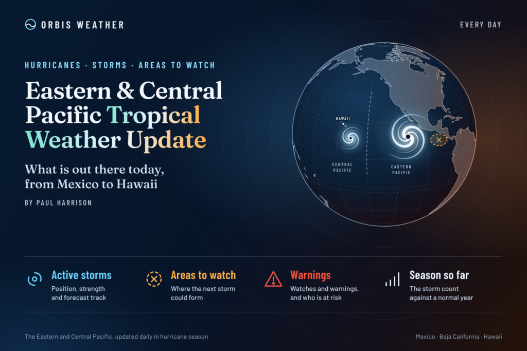
Eastern & Central Pacific Tropical Weather Update: Monday, November 2, 2026
By Paul Harrison, Orbis Weather
At a glance
No tropical cyclones are active in the eastern or central Pacific, but forecasters give a low east-southeast of Hawaii a 60% chance of becoming a tropical depression within seven days.
This report is current to 6:47 a.m. EST (1:47 a.m. HST, 11:47 UTC) on Monday, November 2, 2026. It uses the NHC and Central Pacific Hurricane Center (CPHC) Tropical Weather Outlooks issued at 10:00 p.m. PST Sunday, November 1 (8:00 p.m. HST; 06:00 UTC Monday) and the NHC Eastern Pacific Tropical Weather Discussion issued at 10:05 UTC Monday.
- Active storms: none in either basin, and no storm is threatening land.
- Disturbance: a broad area of low pressure well east-southeast of the Hawaiian Islands has a 10% chance of formation in 48 hours and 60% in seven days. NHC says it is moving “westward to west-northwestward over the Central Pacific basin.”
- Gap winds: fresh to near-gale winds over the Gulf of Tehuantepec are forecast to ease by Monday afternoon.
- Season to date: NHC counts 20 named storms, 10 hurricanes and 8 major hurricanes in the eastern Pacific, well above the 1991-2020 average to this date.
The National Hurricane Center, the Central Pacific Hurricane Center and national weather services, including Mexico’s Servicio Meteorológico Nacional (SMN), issue the official forecasts and warnings. Follow any evacuation order immediately.
Active storms
No tropical or subtropical cyclones are active in the eastern or central North Pacific. The National Hurricane Center (NHC) states there are no tropical cyclones in either basin, so no advisories, watches or warnings are in effect (NHC homepage, updated 08:10 UTC Monday, November 2).
Disturbances to watch
One area is being monitored, and both NHC and CPHC carry it in their outlooks. Its showers and thunderstorms “remain disorganized,” but NHC says conditions “appear generally favorable for gradual development” and “a tropical depression could form during the middle to latter portions of this week.”
Area | Basin | Location | 48-hour chance | 7-day chance | Outlook issued |
|---|
Broad area of low pressure | In both NHC and CPHC outlooks; forecast to move over the central Pacific | Well east-southeast of the Hawaiian Islands | Low, 10% | Medium, 60% | 10:00 p.m. PST Sun, Nov 1 (NHC); 8:00 p.m. HST Sun, Nov 1 (CPHC) |
The odds rose overnight. The outlooks issued Sunday morning gave near 0% in 48 hours and 50% in seven days.
The 10:05 UTC Tropical Weather Discussion places the monsoon trough from 9°N 83°W to 7°N 110°W to 9°N 140°W, with scattered moderate to isolated strong convection between 116°W and 136°W. It mentions no tropical waves. It also notes that “low pressure may develop SW of Costa Rica tonight into Tue,” without a formation chance. Gap winds over the Gulf of Tehuantepec, with rough seas to 10 feet [3.0 m], and over the Gulf of Papagayo, with seas of 7 feet [2.1 m], are forecast to diminish Monday.
Season so far
The 2026 eastern Pacific season is running well above normal, with six more named storms and four more major hurricanes than average to date. The central Pacific is also above normal.
Basin (as of 09 UTC Nov 2) | Named storms | Hurricanes | Major hurricanes | Accumulated cyclone energy |
|---|
Eastern Pacific, 2026 | 20 | 10 | 8 | 247.6 (132% above normal) |
Eastern Pacific, 1991-2020 average to Nov 2 | 14 | 8 | 4 | — |
Eastern Pacific, 1991-2020 full-season average | 15 | 8 | 4 | — |
Central Pacific, 2026 | 7 (4 above normal) | 5 (4 above normal) | 3 (3 above normal) | 108.5 (363% above normal) |
The 2026 figures are NHC’s season summaries; averages to date come from NHC’s climatology table of when each storm normally forms. NHC lists Vance, a major hurricane from October 21 to 29, as the latest eastern Pacific system and Olana (October 25-26) as the latest central Pacific one. NHC reports no direct deaths and no US damage in either basin. In an average season the 15th named storm forms November 5.
The NOAA Climate Prediction Center’s discussion of October 8 keeps an El Niño Advisory in effect, saying a “strong-to-very strong El Niño” is likely through January-March 2027. NHC notes that moderate to strong El Niño years are correlated with more central Pacific activity and late-season storms.
What to watch next
The main question this week is whether the low east-southeast of Hawaii organizes into a tropical depression.
- Formation odds: NHC (east of 140°W) and CPHC (140°W to the Date Line) update their Tropical Weather Outlooks about every six hours; Sunday’s issuances came at 4:00 a.m., 4:00 p.m. and 10:00 p.m. PST.
- Middle to latter part of this week: the window NHC gives for a possible tropical depression. If one forms, NHC or CPHC will begin advisories.
- Hawaii: NWS Honolulu issues any watches, warnings or surf advisories for the islands.
- Off Central America: the Tropical Weather Discussion flags possible low pressure southwest of Costa Rica Monday night into Tuesday; NHC updates that discussion several times a day.
- ENSO: the next NOAA Climate Prediction Center ENSO discussion is scheduled for November 12.
About this report
Orbis Weather compiles this daily summary from NHC, CPHC, NWS and NOAA products. NHC in Miami covers the eastern North Pacific east of 140°W; CPHC in Honolulu covers 140°W to the International Date Line. Times follow each product: PST for NHC’s eastern Pacific outlook, HST for CPHC, and UTC for the discussion. Eastern time is EST after the November 1 change from daylight time. Newer products replace every figure here. The eastern Pacific season runs May 15 to November 30, and the central Pacific season June 1 to November 30.
- Tropical depression: an organized tropical system with sustained winds below 39 mph [63 km/h]; it is named once it reaches tropical storm strength.
- Monsoon trough: a belt of low pressure near the equator where showers and thunderstorms cluster and storms often form.
- Gap winds: strong winds funneled through mountain passes in Mexico and Central America, such as the Tehuantepec and Papagayo winds.
- Major hurricane: Category 3 or higher on the Saffir-Simpson scale, with winds of 111 mph [178 km/h] or more.
- Accumulated cyclone energy (ACE): a measure of a season’s combined storm strength and duration.
Frequently asked questions
Is any storm threatening Mexico or Hawaii today? No. NHC reports no tropical cyclones in the eastern or central Pacific, so no tropical storm or hurricane watches or warnings are in effect.
Could the low near Hawaii become a storm? NHC and CPHC give it a 60% chance of becoming a tropical depression within seven days and 10% within 48 hours. They say a depression could form in the middle to latter part of this week as it moves west to west-northwest over the central Pacific. Neither outlook mentions effects on the islands.
How busy has the 2026 season been? The eastern Pacific has had 20 named storms, 10 hurricanes and 8 major hurricanes, against averages of 14, 8 and 4 by this date. The central Pacific has had 7 named storms.
When does the season end? Both the eastern and central Pacific seasons end November 30. NHC links strong El Niño years with late-season central Pacific storms.
Sources
- National Hurricane Center homepage, last update 08:10 UTC Mon, Nov 2, 2026
- NHC Eastern North Pacific Tropical Weather Outlook, 10:00 p.m. PST Sun, Nov 1, 2026; earlier issuance, 4:00 a.m. PST Sun, Nov 1
- CPHC Central North Pacific Tropical Weather Outlook, 8:00 p.m. HST Sun, Nov 1, 2026; earlier issuance, 2:00 a.m. HST Sun, Nov 1
- NHC Graphical Tropical Weather Outlook, eastern Pacific and central Pacific, Nov 1, 2026 issuances
- NHC Eastern Pacific Tropical Weather Discussion, 10:05 UTC Mon, Nov 2, 2026
- NHC 2026 eastern Pacific season summary, as of 09 UTC Nov 2, 2026
- NHC 2026 central Pacific season summary, as of 09 UTC Nov 2, 2026
- NHC Tropical Cyclone Climatology, 1991-2020 averages (undated page)
- NOAA CPC ENSO Diagnostic Discussion, Oct 8, 2026
- NWS Honolulu, map updated 5:42 p.m. HST Sat, Oct 31, 2026