Tropical Atlantic Daily Report: Thursday, November 5, 2026
By Paul Harrison, Orbis Weather
Current to 6:47 AM EST (11:47 UTC), Thursday, November 5, 2026. NHC products used: Atlantic Tropical Weather Outlook issued 1:00 AM EST (06:00 UTC) Thursday; Tropical Weather Discussion based on the 06:00 UTC surface analysis Thursday.
At a glance
No tropical cyclones are active in the Atlantic basin, and NHC is watching one low south of Bermuda that could turn subtropical this weekend.
- Active storms: none. No watches or warnings are in effect for tropical cyclones, and no storm threatens land.
- Low south of Bermuda: a non-tropical low has a 30% chance of becoming a subtropical or tropical cyclone in 48 hours and 50% in seven days. It is producing gale-force winds over open water.
- Central America rain: heavy rain is expected across Nicaragua and Costa Rica from today through at least Friday, according to NHC. This is not tied to a tropical cyclone.
- Season to date: 10 named storms, 1 hurricane and 1 major hurricane, below the 1991-2020 average for this date.
The National Hurricane Center and national weather services issue the official forecasts and warnings. Follow any evacuation order immediately.
Active storms
There are no active tropical or subtropical cyclones or potential tropical cyclones in the Atlantic, Caribbean Sea or Gulf of Mexico. The most recent named storm, Subtropical Storm Josephine, ended on October 22, according to NHC’s season list. With no watches, warnings or forecast landfalls, this report has no storms-threatening-land section today.
Disturbances to watch
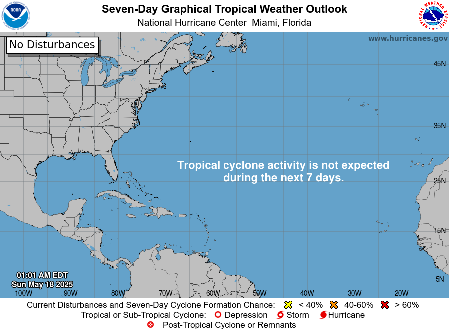
NHC lists one area: a non-tropical low over the western Atlantic with a medium chance of development over seven days.
Area | Location | 48-hour chance | 7-day chance | NHC outlook issued |
|---|
Western and Central Atlantic | A few hundred miles south of Bermuda; 1007 mb low near 27N 65W | Low, 30% | Medium, 50% | 1:00 AM EST Thu Nov 5 |
NHC says the low could gradually acquire subtropical characteristics through this weekend while it moves slowly eastward over the western and central subtropical Atlantic. By early next week, conditions are forecast to become unfavorable for further development. A gale warning is in effect for the surrounding waters, and a satellite wind pass confirmed gale-force winds south of Bermuda.
Elsewhere, the Tropical Weather Discussion notes a cluster of thunderstorms southeast of Jamaica and a broad 1009 mb low near Grand Cayman along a surface trough. NHC does not list either as a formation area. A stationary front stretches from Gulfport, Mississippi, to Tampico, Mexico, and another cold front is expected to cross the Gulf of Mexico this weekend. The discussion does not mention Saharan dust or wind shear today.
Season so far
The 2026 Atlantic season is running well below normal, with most of the shortfall in hurricanes. Isaias, which peaked at 105 knots (120 mph [195 km/h]) in October, is the season’s only hurricane and only major hurricane.
Measure | 2026 to date (NHC, as of 15 UTC Nov 4) | 1991-2020 average reached by Nov 5 | 1991-2020 full-season average |
|---|
Named storms | 10 | 13 (13th forms by Oct 25 on average) | 14 |
Hurricanes | 1 | 6 (6th forms by Oct 15 on average) | 7 |
Major hurricanes | 1 | 3 (3rd forms by Oct 28 on average) | 3 |
NHC’s season list puts accumulated cyclone energy at 19.8, 83% below normal, with no direct deaths and $400 million in U.S. damage, all listed under Tropical Storm Bertha in July. Averages to date come from NHC’s climatology table of average formation dates.
On ENSO, NOAA’s Climate Prediction Center said on October 8 that El Niño “continues to strengthen,” with a strong-to-very strong El Niño likely through January-March 2027.
What to watch next
- Low south of Bermuda, through the weekend: whether it gains subtropical characteristics. NHC updates its formation odds in each Tropical Weather Outlook, starting later today.
- Gale warning, ongoing: NHC’s High Seas Forecasts cover the gale-force winds south of Bermuda for mariners.
- Central America rain, today through Friday: heavy rain in Nicaragua and Costa Rica. Local warnings come from those countries’ national weather services.
- Gulf of Mexico cold front, this weekend: NHC expects near-gale northwest winds in the southwest Gulf on Sunday night and Monday behind the front.
- ENSO update, November 12: the Climate Prediction Center’s next ENSO discussion is scheduled for that date.
About this report
This report draws on National Hurricane Center products, NHC’s season list and climatology, and the NOAA Climate Prediction Center. Times are given in Eastern Standard Time (EST), the zone NHC uses for its Atlantic outlook, and in UTC. Figures reflect products available at 11:47 UTC and are replaced by each newer NHC product. Orbis Weather covers the Pacific basins in separate reports.
Glossary
- Non-tropical low: a low-pressure area powered by temperature contrasts, like a typical winter storm, rather than by thunderstorms over warm water.
- Subtropical cyclone: a storm with a mix of tropical and non-tropical traits. NHC names it once winds reach tropical-storm strength.
- Formation chance: NHC’s estimate of the likelihood that a system becomes a tropical or subtropical cyclone within 48 hours or seven days.
- Gale warning: a marine warning for sustained winds of gale force over open water.
- Accumulated cyclone energy (ACE): a combined measure of the strength and lifespan of all storms in a season.
Frequently asked questions
Is any storm threatening land today? No. There are no active tropical cyclones in the Atlantic basin and no tropical watches or warnings in effect.
Could the low south of Bermuda become a named storm? It could. NHC gives it a 30% chance of forming within 48 hours and 50% within seven days. It is forecast to drift slowly eastward over open water, and conditions turn unfavorable early next week.
Why is heavy rain expected in Central America if there is no storm? NHC’s Tropical Weather Discussion expects heavy rain to develop across Central America from today through at least Friday, with Nicaragua and Costa Rica hit hardest. Residents should follow their national weather services for local warnings.
How does 2026 compare with a normal season? It is behind on every count, especially hurricanes. By early November an average season has six hurricanes; 2026 has had one, Isaias.
Sources
- NHC Atlantic Tropical Weather Outlook, issued 1:00 AM EST Thu Nov 5, 2026
- NHC Tropical Weather Discussion, Thu Nov 5, 2026, based on 06:00 UTC analysis
- National Hurricane Center home page, last updated Wed Nov 4, 2026, 14:31 UTC
- NHC 2026 Atlantic season list, as of 15 UTC Nov 4, 2026
- NHC tropical cyclone climatology, 1991-2020 averages
- NOAA CPC ENSO Diagnostic Discussion, issued October 8, 2026