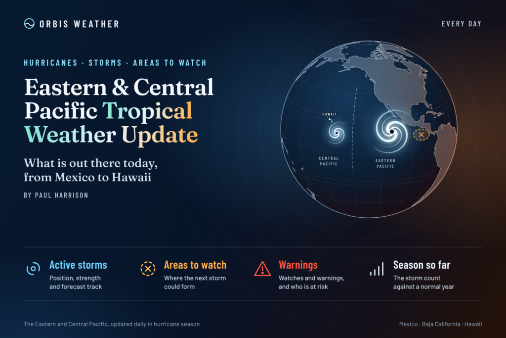
Eastern & Central Pacific Tropical Weather Update: Thursday, November 5, 2026
By Paul Harrison, Orbis Weather
Current to 7:00 a.m. EST (2:00 a.m. HST, 1200 UTC) Thursday, November 5, 2026. Uses the National Hurricane Center (NHC) Eastern North Pacific Tropical Weather Outlook issued 4:00 a.m. PST (1200 UTC) and the Central Pacific Hurricane Center (CPHC) Tropical Weather Outlook issued 2:00 a.m. HST (1200 UTC) today, plus the NHC Eastern Pacific Tropical Weather Discussion issued 1005 UTC Wednesday, November 4.
At a glance
No tropical cyclones are active in the eastern or central North Pacific, but NHC says a tropical depression is now likely to form within a day or so well southeast of Hawaii.
- No active storms. NHC lists no tropical cyclones in the Eastern or Central Pacific, and no storm is threatening land today.
- CP95, well southeast of Hawaii: an 80 percent chance of formation in 48 hours and 7 days. NHC says it should pass “well south of the Hawaiian Islands.”
- Low offshore of Central America: a 40 percent chance in 48 hours and 60 percent in 7 days. It could bring heavy rain to parts of Central America through the weekend.
- Rain alerts in Central America: Panama’s weather institute has a rain watch in effect through 11:59 p.m. Thursday, and Costa Rica declared a nationwide green alert on November 3.
- Season to date: the eastern Pacific has already passed its 1991-2020 full-season averages for named storms, hurricanes and major hurricanes.
The National Hurricane Center, the Central Pacific Hurricane Center and national weather services, including Mexico’s Servicio Meteorológico Nacional (SMN), issue the official forecasts and warnings. Follow any evacuation order immediately.
Active storms
There are no active tropical or subtropical cyclones, and no potential tropical cyclones, in the eastern or central North Pacific. NHC’s basin pages state there are no tropical cyclones in either basin at this time, so no advisories are in effect.
Disturbances to watch
CP95 is the system most likely to develop: NHC says “a tropical depression is now likely to form over the next day or so.” It is moving west to west-northwest at 10 to 15 mph [16 to 24 km/h].
Area | Basin | Location (NHC wording) | 48-hour chance | 7-day chance | Outlook issued |
|---|
CP95 | Central Pacific | Over the eastern portion of the Central Pacific basin, well southeast of the Hawaiian Islands | High, 80% | High, 80% | 2:00 a.m. HST / 4:00 a.m. PST Thu Nov 5 |
Broad low | Eastern Pacific | Offshore of Central America, drifting slowly offshore of the coast | Medium, 40% | Medium, 60% | 4:00 a.m. PST Thu Nov 5 |
For CP95, NHC notes that “earlier satellite wind data suggested the system does not yet have a well-defined circulation.” The low near Central America has “not become any better organized over the past day,” but a depression “could form by this weekend.”
The Tropical Weather Discussion issued 1005 UTC Wednesday placed a 1008 mb low along the monsoon trough near 8°N 91°W. It expected the heaviest rain over southern and western Costa Rica, Panama and southern Nicaragua, warning of “life-threatening flash flooding and landslides.” Panama’s weather institute (Imhpa) forecast 201 to 280 mm [7.9 to 11.0 in] of rain for southern Chiriquí, central and southern Veraguas and the Azuero mountains, according to TVN on November 3. Costa Rica declared a green alert for the whole country on November 3, Infobae reported. Neither report gave deaths, injuries or evacuations.
Season so far
The 2026 eastern Pacific season has already passed the full-season averages for named storms, hurricanes and major hurricanes. The central Pacific has also been busy, with three storms forming there.
Measure | Eastern Pacific 2026 | 1991-2020 full-season average (eastern Pacific) | Central Pacific 2026 |
|---|
Named storms | 20 | 15 | 7 |
Hurricanes | 10 | 8 | 5 |
Major hurricanes (Category 3+) | 8 | 4 | 3 |
Accumulated cyclone energy (ACE) | 247.6 | — | 108.5 |
Eastern Pacific figures are from the NHC 2026 season summary as of 09 UTC November 2. Averages are from NHC climatology, which puts the average date of the 15th named storm at November 5. Central Pacific figures are from the NHC central Pacific summary as of 09 UTC November 5; they include storms that crossed in from the east. Lala, Moke and Olana formed in the central Pacific, most recently Tropical Storm Olana on October 25-26. The latest eastern Pacific storm was Hurricane Vance, October 21-29.
ENSO: the NOAA Climate Prediction Center’s October 8 discussion keeps an El Niño Advisory in place and says “El Niño continues to strengthen.”
What to watch next
- CP95 becoming a depression, today or Friday. If it forms, advisories will appear under the Central Pacific Hurricane Center; today’s CPHC outlook was issued on its behalf by NHC in Miami.
- The low off Central America, through the weekend. NHC’s eastern Pacific outlook, updated later today, will track whether a depression forms.
- Panama’s rain watch, ending 11:59 p.m. Thursday local time. Imhpa and Panama’s civil protection agency (Sinaproc) issue any extension.
- Costa Rica’s green alert. The National Emergency Commission (CNE) and the National Meteorological Institute (IMN) issue updates.
- ENSO update, November 12. The NOAA Climate Prediction Center publishes its next monthly discussion. The eastern Pacific season ends November 30.
About this report
This daily update draws on NHC and CPHC outlooks and discussions, national weather and emergency agencies, and news reports, each listed with its issue time below. It covers the eastern North Pacific east of 140°W, where NHC in Miami is responsible, and the central North Pacific from 140°W to the International Date Line, covered by CPHC in Honolulu. Times are given in the zone each product uses. Outlooks change several times a day, so the newest official product always takes precedence over this report.
Glossary
- Tropical depression: an organized tropical system with a closed circulation and sustained winds below 39 mph [63 km/h]. It gets a name at 39 mph.
- Invest (for example CP95): a label forecasters give a disturbance they are monitoring for possible development.
- Monsoon trough: a belt of low pressure and showers near the equator where many eastern Pacific storms begin.
- Formation chance: NHC’s probability that a disturbance becomes a tropical depression or storm within 48 hours or 7 days.
- Accumulated cyclone energy (ACE): a measure of a season’s total storm strength and duration.
Frequently asked questions
Is Hawaii at risk from CP95? NHC expects the system to pass “well south of the Hawaiian Islands” as it moves west to west-northwest. No tropical watches or warnings are in effect for Hawaii. Residents should still follow CPHC and NWS Honolulu for updates.
Is any storm threatening Mexico or the Baja California peninsula? No. There are no active storms in the eastern Pacific, and today’s outlook places the nearer disturbance offshore of Central America, drifting slowly.
Why is Central America getting heavy rain without a storm? NHC’s discussion links the rain to deep troughing over the northwestern Caribbean reaching into the eastern Pacific, along with a low on the monsoon trough. NHC says the low offshore could bring heavy rain to parts of Central America through the weekend, whether or not it develops.
Is the hurricane season over? Not yet. The eastern Pacific season officially runs until November 30, and today’s outlooks show two areas that could still develop.
Sources
- NHC Eastern North Pacific Tropical Weather Outlook, 4:00 a.m. PST Thu Nov 5, 2026
- CPHC Central North Pacific Tropical Weather Outlook, 2:00 a.m. HST Thu Nov 5, 2026
- NHC Eastern Pacific Tropical Weather Discussion, 1005 UTC Wed Nov 4, 2026
- NHC home page and 7-day graphical outlooks, eastern and central Pacific, read Nov 5, 2026
- NHC 2026 Eastern Pacific season summary, as of 09 UTC Nov 2, 2026
- NHC 2026 Central Pacific season summary, as of 09 UTC Nov 5, 2026
- NHC Tropical Cyclone Climatology, 1991-2020 averages
- NOAA CPC ENSO Diagnostic Discussion, Oct 8, 2026
- NWS Honolulu, read Nov 5, 2026
- TVN: Aviso de vigilancia por lluvias hasta el 5 de noviembre, Nov 3, 2026
- Infobae: Costa Rica declara alerta verde en todo el país, Nov 3, 2026