
Season's first lake-effect snow hammers Marquette, Michigan
By Paul Harrison | Founder & Publisher, Orbis Weather

- Africa Weather & Natural Hazards Today — Sunday, November 8, 2026 7:06 PM
- Southeast Asia Weather & Natural Hazards Today: Sunday, November 8, 2026 6:57 PM
- Southeast Asia Natural Hazards This Week: Sunday, November 8, 2026 6:47 PM
- More Powerful Storms Heading for British Columbia as Heavy Rain, Damaging Winds and Flooding Threaten the Weekend 6:35 PM
- Deadly Nor’easter Batters New York City: One Killed by Falling Tree as Coastal Flooding Sweeps Northeast 6:24 PM
- Middle East Weather & Natural Hazards Today – Sunday, November 8, 2026 3:57 PM
- Earth’s Hot Spots This Week November 7, 2026 2:54 PM
- Season’s first lake-effect snow hammers Marquette, Michigan 1:06 PM
- Australian Region Tropical Weather Update — Sunday, November 8, 2026 12:20 PM
- Southwest Indian Ocean Tropical Weather Update – November 8, 2026 12:12 PM
- Australia, New Zealand & Oceania Weather & Natural Hazards Today Sunday, November 8, 2026 12:03 PM
- North America Weather & Natural Hazards Today — November 7, 2026 8:30 AM
- Central America Weather & Natural Hazards Today: Pacific Tropical Disturbance Brings Heavy Rain, Flooding and Landslide Threats 8:16 AM
- South America Weather & Natural Hazards Today – November 7, 2026 7:58 AM
- Daily Earthquakes, Storms, Fires & Floods Report — November 7, 2026 7:43 AM
- U.S. Weather Outlook (Next 7 Days): November 7–13, 2026 7:28 AM
- Deadly Flooding in North Georgia 7:21 AM
- Tropical Atlantic Daily Report: Saturday, November 7, 2026 7:06 AM
- Eastern & Central Pacific Tropical Weather Update: Saturday, November 7, 2026 6:56 AM
- WESTERN PACIFIC Tropical Weather Update: November 7, 2026 6:34 AM





Season’s first lake-effect snow hammers Marquette, Michigan
· By Paul Harrison, Orbis Weather
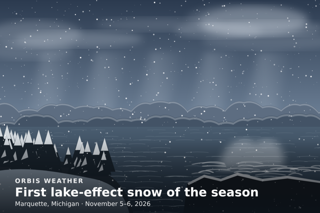
The first lake-effect snow of the 2026-27 season fell on Michigan’s Upper Peninsula on Thursday and Friday, November 5 and 6. It left 1 to 3.5 inches on the higher ground of Baraga and Marquette counties. The same cold, windy air drove heavy waves onto the Lake Superior shore, where a man died after being swept off the rocks at Marquette’s Presque Isle Park.
The National Weather Service office near Negaunee measured 2.7 inches by 1 p.m. Friday. Marquette’s climate station recorded 2.3 inches on November 6, almost four times the normal 0.6 inches for the date. That is all the snow the station has logged since September 1, which makes this the season’s first accumulation there.
Friday’s high in Marquette reached only 34°F, 8 degrees below normal, according to the Weather Service’s daily climate report.
How much snow fell
The highest total reported to the National Weather Service was 3.5 inches, 4 miles southeast of Mount Arvon in Baraga County. Most of the snow fell overnight into Friday morning.
Location | County | Snow (inches) | Reported |
|---|---|---|---|
4 miles SE of Mount Arvon | Baraga | 3.5 | 8 a.m. Fri, 24-hour total |
4 miles NE of Negaunee (NWS office) | Marquette | 2.7 | 1 p.m. Fri, storm total |
Herman | Baraga | 2.0 | 8 a.m. Fri, storm total |
2 miles SE of Champion | Marquette | 2.0 | 8 a.m. Fri, 24-hour total |
Michigamme, 3 miles WNW | Baraga | 1.4 | 8 a.m. Fri, storm total |
5 miles SW of National Mine | Marquette | 1.3 | 6:30 a.m. Fri, 24-hour total |
1 mile S of Painesdale | Houghton | 1.1 | 8 a.m. Fri, storm total |
1 mile SW of Allouez | Houghton | 1.0 | 8 a.m. Fri, 24-hour total |
1 mile E of Bergland | Ontonagon | 0.5 | 8 a.m. Fri, storm total |
Source: NWS Marquette Public Information Statement, issued 1:44 p.m. EST Friday, November 6.
NWS Marquette meteorologist Ben Warren told the Daily Mining Gazette that much of the region saw “mostly just traces here and there.” The higher terrain of the central Upper Peninsula, he said, “really won out.”
Deadly waves at Black Rocks
The storm’s most serious impact came from Lake Superior, not the snow. A 62-year-old man from Calumet was swept off Black Rocks at Presque Isle Park at about 2:53 p.m. Thursday, according to Marquette police, as reported by WNMU-FMand WDIV. Witnesses saw him pulled south out of the Black Rocks cove.
Rough lake conditions stopped a search on the water Thursday. Responders included the Marquette Fire Department, Marquette County Sheriff’s Office, Michigan DNR conservation officers and the U.S. Coast Guard. His body was found just off a beach near Lakewood Lane in Harvey at about 8:22 a.m. Friday, WNMU-FM and TV6 reported. Police have not released his name.
Marquette police urged people to avoid areas near the lake in bad weather, warning that conditions “can change in seconds.”
Winds were strongest on Thursday. The Weather Service recorded gusts of 63 mph at Stannard Rock, 49 mph at Granite Island and 41 mph at the Marquette Coast Guard station.
On land, the effects were minor. TV6 forecasters told drivers to expect wet roads Friday and some snow on grassy surfaces, under a Special Weather Statement.
Why the hills got the most snow
Lake-effect snow forms when cold air blows across a lake that is still warmer than the air above it. Lake Superior holds its summer heat into late fall, so the first cold outbreaks of the season pick up heat and moisture as they cross the water. That moist air rises and forms bands of clouds and snow on the downwind shore.
Terrain adds a second push. As the air moves inland and climbs the highlands of Baraga and western Marquette counties, it is lifted again and cools further, squeezing out more snow. That is why TV6 forecasters expected about two inches “in the highlands” on Thursday, while near the shore, where Friday highs were forecast a few degrees warmer, rain mixed with the snow.
Early-season events like this one are often marginal. With temperatures hovering just above freezing, snow piles up on grass and high ground but melts on warm roads.
What comes next
Milder weather returns this weekend, and the snow is unlikely to last. “We do warm up again through this week,” Warren told the Mining Gazette, adding that no significant accumulation was expected soon.
TV6’s Friday morning forecast for Upper Michigan:
- Saturday: Sunny, highs in the mid to upper 40s.
- Sunday: A front brings spotty rain near Lake Superior and gusts of 25 to 35 mph. Highs in the low 50s west and upper 40s east.
- Monday: Mild, mid 50s west and low 50s east.
- Wednesday and Thursday: Cooler, with showers turning to a rain and snow mix. Highs in the low 40s north and mid 40s south.
Forecasts change. Check the National Weather Service in Marquette for current forecasts and any warnings.
Frequently asked questions
Was this Marquette’s first snow of the season? Yes, for accumulating snow. Marquette’s climate station shows 2.7 inches since September 1, all of it this month, and 2.3 inches of that fell on November 6.
How much snow is normal for early November? The normal snowfall for November 6 in Marquette is 0.6 inches, according to the Weather Service climate report. This week’s 2.3 inches was well above that, though it was still a light storm by Upper Peninsula standards.
Why is Black Rocks dangerous in storms? Black Rocks is a rocky shoreline at Presque Isle Park exposed to the open lake. In strong winds, waves can wash over the rocks without warning. Marquette police say conditions there “can change in seconds” and advise staying away from the water in bad weather.
Will more lake-effect snow follow soon? Not right away. Forecasts call for highs in the 40s and 50s through early next week, with a rain and snow mix possible by Wednesday or Thursday.
Sources
- NWS Marquette Public Information Statement: snowfall reports, Nov 6, 2026
- NWS Marquette Public Information Statement: highest wind reports, Nov 6, 2026
- NWS Marquette climate report for Nov 6, 2026
- Daily Mining Gazette: “It’s baaack”
- TV6: Snow develops and accumulates for some, Nov 5
- TV6: Wintry travel before drier days, Nov 6
- TV6: Police recover man swept off Black Rocks Thursday
- WNMU-FM: Man swept off Marquette’s Black Rocks into Lake Superior
- WNMU-FM: Body found in Harvey Friday morning
- WDIV: Police recover body of man swept into Lake Superior
About the Author
Paul Harrison — Founder & Publisher, Orbis Weather
Paul Harrison founded Orbis Weather in 2026 to make global weather and natural-hazard information easier to find, follow and understand. His coverage includes tropical cyclones, severe weather, extreme temperatures, earthquakes, volcanoes, wildfires, flooding and significant natural disasters worldwide.
View all articles by Paul Harrison → | Editorial Standards →
Global Weather Tracker Hub
Explore weather maps, tropical systems, storms and natural hazards around the world.
No matching trackers found.