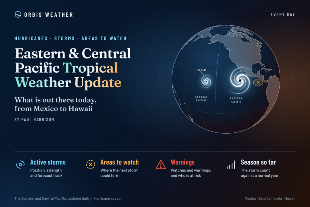
Eastern & Central Pacific Tropical Weather Update: Saturday, November 7, 2026
By Paul Harrison, Orbis Weather ·
Current to 6:46 a.m. EST (1:46 a.m. HST, 11:46 UTC) on Saturday, November 7, 2026. Storm data: Tropical Storm Pena Public Advisory 3, issued 11 p.m. HST Friday, November 6 (09:00 UTC November 7). Outlooks: Eastern North Pacific, 10 p.m. PST Friday; Central North Pacific, 8 p.m. HST Friday (both 06:00 UTC November 7).
At a glance
Tropical Storm Pena is strengthening slowly far south of Hawaii, and no storm in either basin threatens land.
Pena had winds of 50 mph [85 km/h] about 570 miles [915 km] south-southeast of South Point, Hawaii, moving west. There are no coastal watches or warnings.
No threat to land today. NHC lists “None” under hazards affecting land, so this report has no land-threat section.
One disturbance offshore of Central America has a low, 30 percent chance of formation through seven days. It could still bring heavy rain to parts of Central America this weekend.
Both basins are well above normal. The eastern Pacific has 20 named storms and the central Pacific at least seven, against an eastern Pacific full-season average of about 15.
The National Hurricane Center, the Central Pacific Hurricane Center and national weather services, including Mexico’s Servicio Meteorológico Nacional (SMN), issue the official forecasts and warnings. Follow any evacuation order immediately.
Active storms
One tropical cyclone is active: Tropical Storm Pena in the central Pacific. The eastern Pacific has none.
11.4°N 152.4°W; about 570 mi [915 km] SSE of South Point, Hawaii
50 mph [85 km/h]
1000 mb [29.53 in]
West (275°) at 12 mph [19 km/h]
None
Tropical-storm-force winds extend up to 45 miles [75 km] from Pena’s center. The advisory headline reads “Pena strengthens a little as it moves westward well south of the Hawaiian Islands.” Pena formed on Friday, November 6, several hundred miles southeast of the Big Island.
NHC’s advisory expects the westward motion to continue “over the next couple of days” and says “additional gradual strengthening is expected to occur during the next few days.” On Friday the Honolulu Star-Advertiser reported forecasters expected “little change through early next week,” with track confidence lower after about Monday as models disagree. NWS Honolulu told the paper Pena is likely to pass too far south to bring rain to the islands, but “will likely boost tradewinds early next week.” The newest advisory replaces these figures.
Disturbances to watch
One disturbance is being tracked, and its chances are low. The central Pacific outlook says no other formation is expected during the next seven days.
Area
Basin
Location
48-hour chance
7-day chance
Outlook issued
Broad low pressure
Eastern Pacific
Offshore of Central America
Low, 30%
Low, 30%
10 p.m. PST Fri Nov 6
NHC’s Friday morning outlook said the low had “a weak and elongated circulation” and that conditions would become “increasingly hostile” over the weekend. It added the system “could still bring areas of heavy rain to portions of Central America through the weekend.” The Friday night outlook called conditions “marginally conducive for further development through Sunday.”
The Tropical Weather Discussion of 10:05 UTC Friday placed the monsoon trough from near 11°N 86°W to a 1008 mb low near 11°N 90°W, then to 7°N 112°W. It forecast fresh to strong northerly gap winds and rough seas in the Gulf of Tehuantepec from Friday evening into early next week. Northwest swell sets were forecast to bring seas up to 12 feet [3.7 m] off Baja California into early next week.
Season so far
The 2026 season is running well above the 1991-2020 average in both basins.
Basin
Named storms
Hurricanes
Major hurricanes
As of
Eastern Pacific, 2026
20
10
8
21:00 UTC Nov 6
Eastern Pacific, 1991-2020 average, full season
about 15
about 8
about 4
NHC climatology
Central Pacific, 2026
7
5
3
09:00 UTC Nov 5 (before Pena)
On average, the eastern Pacific reaches its 15th named storm by November 5, its eighth hurricane by October 23 and its fourth major hurricane by October 22, per NHC climatology. That makes the full-season figures a fair comparison for this date. NHC’s central Pacific summary prints the 2026 counts with differences of +4, +4 and +3 from its normal. Hawaii News Now called Pena “the ninth tropical cyclone in the central Pacific” this season. The strongest eastern Pacific storm was Hurricane Polo in September, peaking at 155 kt [180 mph, 285 km/h], per NHC’s season table. The most recent before Pena was Hurricane Vance, October 21-29.
NOAA’s Climate Prediction Center discussion of October 8 keeps an El Niño Advisory in effect. It says “El Niño continues to strengthen, with a strong-to-very strong El Niño likely through January-March 2027.” NHC climatology notes that moderate to strong El Niño years are linked with more central Pacific activity.
What to watch next
Pena’s strength and the Central America rain risk are the main items for the next few days.
Pena’s next advisory: the next complete advisory is due at 5 a.m. HST Saturday, on the NHC website.
Pena’s longer-range track: forecasters told the Star-Advertiser that confidence drops after about Monday, November 9. Later advisories will show whether it stays a tropical storm.
Hawaii trade winds: NWS Honolulu expects Pena to boost trade winds early next week. Its forecasts and marine advisories are at weather.gov/hfo.
Rain in Central America: the low offshore could bring heavy rain through the weekend. National weather services in the region issue local warnings; NHC’s outlook tracks the low.
Gulf of Tehuantepec winds: gap winds are forecast into early next week, per the NHC Tropical Weather Discussion.
About this report
This report draws on National Hurricane Center (NHC) and Central Pacific Hurricane Center products, NWS Honolulu, NOAA’s Climate Prediction Center and Hawaii news outlets. NHC covers the eastern North Pacific east of 140°W; the central North Pacific runs from 140°W to the International Date Line. Times follow each product’s own zone (PST for eastern Pacific outlooks, HST for central Pacific products) with UTC alongside. Figures are a snapshot at the issue times stated above and are replaced by each new advisory.
Glossary
Tropical storm: a tropical cyclone strong enough to be named, but below hurricane strength.
Major hurricane: a hurricane of Category 3 or higher on the Saffir-Simpson wind scale.
Monsoon trough: a belt of low pressure in the tropics where showers and storms cluster and tropical cyclones often form.
Gap winds (Tehuantepecer): strong northerly winds funneled through a low gap in Mexico’s mountains into the Gulf of Tehuantepec.
Formation chance: NHC’s estimated probability that a disturbance becomes a tropical cyclone within 48 hours or seven days.
Frequently asked questions
Will Tropical Storm Pena affect Hawaii? NHC lists no hazards affecting land and no watches or warnings. NWS Honolulu told the Star-Advertiser that Pena will likely pass too far south to bring rain, though it may boost trade winds early next week.
Could Pena become a hurricane? NHC expects gradual strengthening over the next few days. On Friday, forecasters told the Star-Advertiser that some models show near-hurricane strength while others show a tropical depression, so later advisories will settle it.
Is anything forming near Mexico or Central America? A broad low offshore of Central America has a low, 30 percent chance of formation through seven days. It could still bring heavy rain to parts of Central America through the weekend.
Why has the Pacific been so active this year? The AP reported that the Pacific has had an active season “due in part to El Niño.” NOAA reports a strengthening El Niño, and NHC climatology links stronger El Niño years with more central Pacific activity. The season ends November 30.
Paul Harrison — Founder & Publisher, Orbis Weather
Paul Harrison founded Orbis Weather in 2026 to make global weather and natural-hazard information easier to find, follow and understand. His coverage includes tropical cyclones, severe weather, extreme temperatures, earthquakes, volcanoes, wildfires, flooding and significant natural disasters worldwide.
Live hurricane tracking, tropical activity, satellite imagery, weather, sea temperatures, waves and buoy observations across the Eastern and Central Pacific.
Live tropical cyclones · click a storm for track/cone
🌀 Pacific Basin Storm Tracker
Live tropical cyclones across the Eastern and Central Pacific. Drag to pan, Ctrl/⌘+scroll to zoom, and click a storm to show its track and cone.
Use Ctrl + scroll (⌘ + scroll on Mac) to zoom the map
Connecting…
Intensity
Tropical Depression
Tropical Storm
Category 1
Category 2
Major Cat 3
Category 4
Category 5
No active tropical cyclones in the Eastern or Central Pacific right now.
Live storm data unavailable right now — check the National Hurricane Center directly.
Loading live storm map…
🛰️ NOAA/NHC Hurricane Tracker
Official forecast tracks & cones
Official NOAA/NHC forecast information, opened to a Pacific-focused view. The cone represents the probable path of the storm center, not the full extent of hazardous weather.
Use the layer controls inside the map to switch among rain, wind, temperature, clouds and other weather layers.
🌊 Pacific Coast Sea Temperatures
NOAA CO-OPS · loading
🌊 Pacific Waves & Swell
Windy · ECMWF
Basin-wide waves and swell view. Use the map menu to switch wave height, swell and wind layers. Some model tiles can briefly show unavailable data during model updates.
⚓ NOAA Buoy Conditions
NDBC · loading
Significant wave height combines swell and wind waves. Always use official NWS/NHC marine forecasts for safety decisions.