Tropical Atlantic Daily Report: Friday, November 6, 2026
By Paul Harrison, Orbis Weather
Current to 6:46 a.m. EST (11:46 UTC) Friday, November 6, 2026. Based on the National Hurricane Center (NHC) Tropical Weather Outlook issued 1:00 a.m. EST (0600 UTC) Friday and the Tropical Weather Discussion labeled 1215 UTC Friday (transmitted 1040 UTC, based on the 0600 UTC analysis).
At a glance
The Atlantic has no tropical cyclones this morning, and the one system NHC is watching is a non-tropical gale well south of Bermuda.
- No active storms. NHC reports no tropical or subtropical cyclones in the Atlantic, Caribbean Sea or Gulf of Mexico.
- No tropical threat to land. No tropical storm watches or warnings are in effect, so this report has no storm-threat section today.
- One area to watch. A gale-force low south of Bermuda (Invest AL94) has a low chance of becoming subtropical: 20% in 48 hours, 30% in 7 days.
- Rain risk in Central America. NHC’s discussion flags heavy rain over Nicaragua and Costa Rica, with a risk of flash flooding and landslides. This is not tied to a tropical cyclone.
- A below-normal season. NHC counts 10 named storms, 1 hurricane and 1 major hurricane so far, below the 1991-2020 average to date. The season ends November 30.
The National Hurricane Center and national weather services issue the official forecasts and warnings. Follow any evacuation order immediately.
Active storms
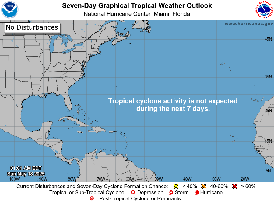
There are no active tropical cyclones, subtropical cyclones or potential tropical cyclones in the Atlantic basin, per NHC as of Friday morning.
Disturbances to watch
NHC is watching one area, and its odds of development are low.
Area | Location | 48-hour chance | 7-day chance | NHC outlook issued |
|---|
Western and Central Atlantic (Invest AL94) | Gale-force, non-tropical low “a few hundred miles south of Bermuda”, near 26N 65W | Low, 20% | Low, 30% | 1:00 a.m. EST Fri, Nov 6 |
NHC says the low “could acquire some subtropical characteristics during the next couple of days” as it moves slowly east. It adds that upper-level winds are forecast to turn unfavorable by late this weekend. Gale-force winds are likely over parts of the central subtropical Atlantic through the weekend either way, with seas near 15 feet [4.6 m] north of the low.
Elsewhere, the Tropical Weather Discussion describes no tropical waves in its text. It notes a 1008 mb low with thunderstorms over the northwestern Caribbean, offshore eastern Honduras. In the Gulf of Mexico, a front from the Florida Panhandle is expected to push south today, with near-gale northwest winds in the southwestern Gulf Sunday night and Monday.
Season so far
The 2026 season is running below normal, with far fewer hurricanes than an average year by early November.
Measure | 2026 to date | 1991-2020 average to Nov 6 | 1991-2020 full-season average |
|---|
Named storms | 10 | 13 | 14 |
Hurricanes | 1 | 6 | 7 |
Major hurricanes (Category 3+) | 1 | 3 | 3 |
2026 counts are from NHC’s season summary as of 15 UTC November 5. Averages are from NHC climatology benchmark dates; the 13th named storm, 6th hurricane and 3rd major hurricane normally form by October 25, October 15 and October 28. The season’s only hurricane, Isaias (October 6-10), peaked at 105 knots, about 120 mph [195 km/h]. NHC puts accumulated cyclone energy at 19.8, 83% below normal.
The Climate Prediction Center’s October 8 discussion keeps an El Niño Advisory in place and says “El Niño continues to strengthen”, with a strong-to-very strong event likely through January-March 2027.
What to watch next
- Invest AL94, today through Sunday: whether the low takes on subtropical features before upper winds turn unfavorable late this weekend. NHC updates the odds in each Tropical Weather Outlook.
- Central subtropical Atlantic gales, Saturday through Sunday: NHC marine forecasts carry the gale warnings for shipping.
- Nicaragua and Costa Rica rain, through at least Friday: national weather services in Central America issue local flood and landslide warnings.
- Southwestern Gulf of Mexico, Sunday night and Monday: near-gale northwest winds behind the front, per NHC marine forecasts.
- ENSO update, November 12: the Climate Prediction Center’s next El Niño discussion.
About this report
This report summarizes public NHC products, NHC season statistics and the Climate Prediction Center ENSO discussion, with issue times given at the top. NHC writes its outlook times in Eastern Standard Time (EST) and its discussion times in UTC; this report gives both where useful. Conditions change quickly, and the newest NHC product always replaces the figures here. Season counts are preliminary until NHC completes its storm reports.
Glossary
- Invest: a weather system NHC has flagged for closer study, given a number such as AL94.
- Subtropical cyclone: a low with features of both tropical and non-tropical storms, often with its strongest winds far from the center.
- Tropical wave: a trough of low pressure moving west across the tropics that can seed storms.
- Gale-force winds: sustained winds of 39 to 54 mph [63 to 87 km/h].
- Major hurricane: Category 3 or higher on the Saffir-Simpson scale, with winds of at least 111 mph [178 km/h].
Frequently asked questions
Is any storm threatening land today? No. NHC reports no tropical cyclones in the Atlantic basin and no tropical watches or warnings. Heavy rain in Nicaragua and Costa Rica is a separate, non-tropical hazard.
Will the low near Bermuda become a named storm? NHC gives it a low chance: 20% over 48 hours and 30% over 7 days. It could become subtropical before upper-level winds turn unfavorable late this weekend.
Is hurricane season over? Not yet. The Atlantic season runs from June 1 to November 30, so late-season storms remain possible.
Why has 2026 been so quiet? NHC data show the season well below average, but the sources used here do not give a cause. NOAA had forecast a below-normal season, and a strong El Niño is under way.
Sources