
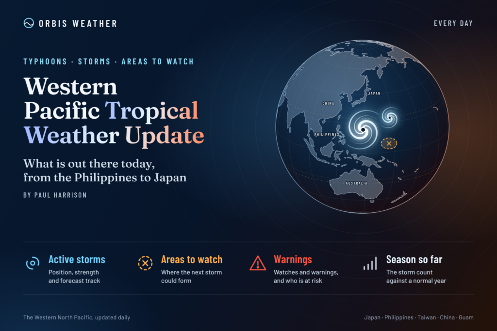

Western Pacific Tropical Weather Update: Super Typhoon Champi Threatens Waters Near Taiwan and Japan
Tuesday, October 20, 2026 | By Paul Harrison | Orbis Weather
Super Typhoon Champi remains a powerful tropical cyclone over the Philippine Sea, with forecasters closely monitoring its movement toward waters east of Taiwan and Japan’s southern islands.
The Western Pacific remains highly active this October, with Champi presenting the basin’s most significant tropical threat.
According to the Hong Kong Observatory’s October 20 bulletin, Champi had maximum sustained winds of approximately 240 km/h (149 mph) at 2 p.m. Hong Kong time, making it an exceptionally dangerous storm over open water.
Although the storm’s center remains well offshore, its projected northwestward movement raises concerns about dangerous seas, coastal swells and possible changes in weather conditions across portions of the western North Pacific later this week.
🌀 Western Pacific Tropical Cyclone Status
Super Typhoon Champi (29W)
240 km/h
149 mph · HKO estimate
16.5°N, 134.4°E
Philippine Sea
West-northwest
Toward waters east of Taiwan
Taiwan–Ryukyu region
Later this week
Super Typhoon Champi: Latest Developments
Champi intensified dramatically after developing over the tropical western Pacific and passing near Guam and the Northern Mariana Islands.
The storm’s earlier approach prompted emergency preparations in the Mariana Islands. Federal emergency assistance was approved for Guam following disruptions affecting airports, harbors and other essential services.
Champi subsequently moved farther west into the Philippine Sea, where favorable oceanic and atmospheric conditions helped support its powerful circulation.
Satellite observations have revealed a well-organized tropical cyclone with a distinct eye surrounded by intense thunderstorms.
The storm remains capable of generating destructive winds and extremely dangerous ocean conditions near its center.
Where is Champi heading?
The Hong Kong Observatory forecasts Champi to move generally northwestward before turning toward the waters east and northeast of Taiwan.
Its October 20 forecast indicates the following possible evolution:
Date | Forecast classification | Maximum sustained winds |
|---|---|---|
October 20 | Super Typhoon | 240 km/h (149 mph) |
October 21 | Super Typhoon | 230 km/h (143 mph) |
October 22 | Super Typhoon | 205 km/h (127 mph) |
October 23 | Severe Typhoon | 165 km/h (103 mph) |
October 24 | Typhoon | 140 km/h (87 mph) |
October 25 | Severe Tropical Storm | 90 km/h (56 mph) |
Source: Hong Kong Observatory forecast issued October 20, 2026. Wind estimates are based on the observatory’s classification system. Future intensities are forecasts, not observations.
The projected weakening does not mean the storm will become harmless. Even a weakening typhoon can produce dangerous waves, coastal flooding and heavy rainfall if it approaches populated areas.
🌏 Regional Weather Outlook
🇵🇭 Philippines: Monitoring the Northern Philippine Sea
Champi is moving over the Philippine Sea, well east of the Philippine archipelago.
The storm’s forecast track currently favors a movement toward waters east of Taiwan rather than a direct approach to the central Philippines.
Nevertheless, residents and maritime operators in northern and eastern Philippine waters should continue monitoring official PAGASA advisories.
Possible concerns include increased ocean swells, hazardous offshore conditions and changes in regional rainfall patterns.
These hazards will depend on Champi’s eventual track and the extent of its outer circulation.
🇹🇼 Taiwan: Increasing Typhoon Concerns
Taiwan is among the locations requiring particularly close attention over the coming days.
Taiwan’s Central Weather Administration indicated on October 20 that Champi’s effects could become most pronounced on Friday and Saturday, October 23–24.
Forecasters identified the possibility of heavy to extremely heavy rainfall in northern and eastern Taiwan, including Yilan and Hualien.
Sea warnings could be issued as early as late Wednesday or Thursday, with land warnings also possible depending on the storm’s evolution.
Residents should closely follow official forecasts rather than assume that a projected offshore track eliminates the possibility of dangerous conditions.
🇯🇵 Japan: Ryukyu Islands and Okinawa
Japan’s southwestern islands remain another important area to monitor.
Champi’s longer-range forecast brings the system toward waters between Taiwan and the Ryukyu island chain before moving farther north.
Potential hazards include rough seas, dangerous surf, strong winds and periods of heavy rainfall if the circulation approaches the islands.
The timing and severity of any impacts remain uncertain, and official Japan Meteorological Agency forecasts should guide preparations.
🇬🇺 Guam and Northern Mariana Islands: Recovery Continues
Champi has already passed near Guam and the Northern Mariana Islands.
The National Weather Service reported on October 18 that the storm was moving away from the Marianas, allowing wind and sea conditions to begin improving.
However, recovery efforts following the storm’s passage remain important, particularly where infrastructure and essential services were disrupted.
🌧️ Other Tropical Disturbances Across the Western Pacific
Outside Champi, the National Weather Service in Guam is monitoring a broad monsoon trough extending across the tropical western Pacific.
Its October 20 discussion identified several weak circulations, including areas east of Pohnpei and around the Marshall Islands.
These features were associated with scattered showers and thunderstorms.
Although tropical disturbances sometimes develop along monsoon troughs, the presence of thunderstorms or weak circulation does not automatically indicate that a tropical cyclone will form.
No additional named tropical cyclone was confirmed in the basin by the sources reviewed for this report.
🌊 Marine Conditions: Dangerous Seas Near Champi
One of Champi’s most significant hazards is its ability to generate exceptionally large waves.
A Joint Typhoon Warning Center bulletin referenced on October 20 reported maximum significant wave heights near 58 feet (17.7 meters) in the storm’s vicinity.
These are open-ocean conditions near the cyclone, not predicted coastal wave heights.
Large swells can travel considerable distances from the center of a powerful typhoon. Mariners should consult official marine warnings, avoid the storm’s circulation and account for rapidly changing conditions.
🔎 What Orbis Weather Is Watching Over the Next Five Days
The most important developments through October 25 include:
Champi’s intensity: Whether the cyclone maintains super-typhoon strength or begins sustained weakening.
Taiwan’s weather: The possibility of significant rainfall, coastal hazards and official typhoon warnings.
Okinawa and the Ryukyu Islands: Whether the storm tracks close enough to produce damaging weather.
Northern Philippine waters: Potential dangerous swells and deteriorating marine conditions.
Additional development: Whether any monsoon-trough disturbances become better organized.
The precise track remains important. A relatively small shift in a typhoon’s path can substantially change the impacts experienced along nearby coastlines.
Understanding Western Pacific Typhoon Season
Unlike the Atlantic hurricane season, which has a defined official calendar, tropical cyclones can develop in the western North Pacific throughout the year.
Activity typically peaks between summer and autumn, but October can still produce exceptionally powerful typhoons.
Warm ocean waters provide the energy that supports tropical cyclone development. Favorable atmospheric moisture, low vertical wind shear and organized thunderstorm activity can allow storms to intensify rapidly.
However, warm water alone does not guarantee strengthening. Changes in atmospheric circulation, ocean heat content and internal storm structure can produce substantial fluctuations in intensity.
Champi demonstrates why western Pacific tropical cyclone monitoring remains essential well into autumn.
Orbis Weather Outlook
The primary Western Pacific tropical threat on October 20 is Super Typhoon Champi.
The cyclone remains extremely powerful, and its forecast path toward waters near Taiwan and Japan’s southwestern islands deserves continued attention.
While Champi’s center is currently offshore, the possibility of heavy rainfall, strong winds and dangerous marine conditions later this week makes careful monitoring essential.
Orbis Weather will continue following official tropical cyclone advisories, satellite observations and regional forecasts as the situation evolves.
Official Sources and Further Information
Editorial note: This report is original weather analysis prepared for Orbis Weather by Paul Harrison, using publicly available meteorological information. Forecasts are subject to change. Orbis Weather is an independent weather information publisher and does not issue official tropical cyclone warnings.