
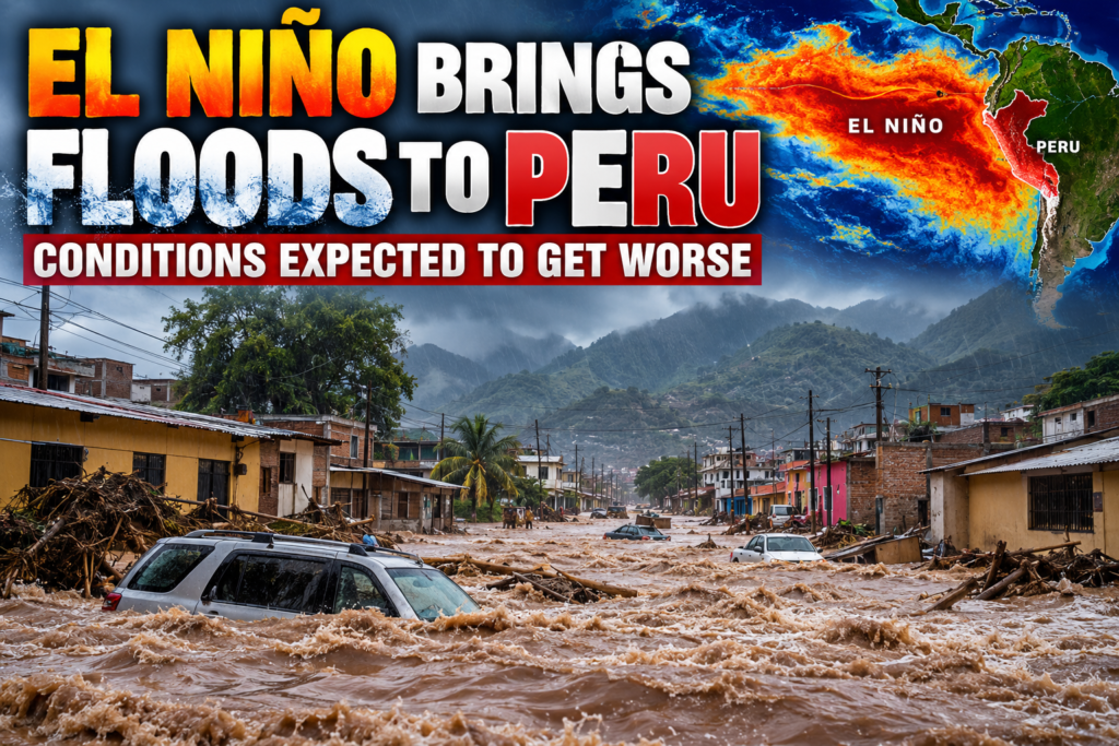




El Niño Brings Severe Flooding to Peru as Forecasters Warn Conditions Could Get Much Worse
Orbis Weather | Global Extreme Weather News
By Paul Harrison | October 22, 2026
PERU — Torrential rainfall has flooded streets, markets and homes in northern Peru, with meteorologists warning that the worst of the 2026–2027 El Niño weather event may still be ahead.
Heavy rainfall struck Piura on Tuesday, October 20, leaving urban areas inundated as the country faces the prospect of increasingly dangerous weather. According to The Weather Channel, government officials estimate that approximately 1.2 million people could be at risk from the developing El Niño emergency.
Northern Peru Faces Growing Flood Emergency
Piura, one of Peru’s most flood-prone northern regions, is experiencing the effects of unusually heavy rainfall associated with warming Pacific Ocean waters.
The immediate concerns include flash flooding, overflowing drainage systems, damage to homes and businesses, and the possibility of landslides in vulnerable terrain.
Agricultural communities are particularly exposed, with excessive rainfall threatening crops, transportation routes and access to markets.
Recent rainfall has already disrupted table grape harvesting in northern Peru, raising concerns about additional agricultural losses if wet conditions intensify.
Forecasters Warn November Could Bring More Dangerous Rainfall
Peru’s National Service of Meteorology and Hydrology (SENAMHI) expects rainfall to become more frequent beginning in November.
The greatest concern is concentrated along the northern Pacific coast, particularly in Tumbes, Piura and Lambayeque.
Forecasters anticipate increasingly widespread rainfall from December, followed by potentially frequent and intense storms during January, February and March 2027.
In a particularly concerning scenario, some areas of northern Peru could experience rainfall approaching 300 millimeters (11.8 inches) in a single day during the coming summer.
Meteorologists emphasize that this is a possible extreme scenario, not a confirmed forecast.
El Niño Could Reach Extraordinary Intensity
Peru’s official El Niño monitoring commission, ENFEN, has maintained its coastal El Niño alert.
Its October 16 assessment indicated that exceptionally warm coastal waters could persist through January 2027, with elevated ocean temperatures potentially continuing into the following autumn.
The commission also warned that several rivers, including the Piura, Chira and Tumbes river systems, could experience above-normal flows beginning in November.
These conditions increase concerns about flooding in low-lying communities, particularly where drainage infrastructure is already vulnerable.
Why El Niño Causes Such Extreme Flooding
El Niño develops when ocean temperatures across the central and eastern equatorial Pacific become unusually warm.
This warming can change atmospheric circulation, shift tropical rainfall patterns and increase the likelihood of intense precipitation along parts of South America’s Pacific coastline.
For Peru, the consequences can be particularly severe because normally dry coastal areas may receive enormous amounts of rainfall within a short period.
The combination of saturated ground, rapidly rising rivers and intense thunderstorms can trigger dangerous flash floods and landslides.
The current El Niño event is unusually powerful, with significant impacts expected across multiple continents. The United Nations World Food Programme has warned that the event could worsen food insecurity in dozens of countries.
Agriculture, Infrastructure and Communities at Risk
The developing weather emergency threatens more than homes and roads.
Heavy rainfall could damage agricultural land, interrupt food transportation and increase the cost of essential supplies.
Among the greatest concerns are flooding of farmland, erosion, damaged bridges, disrupted drinking-water systems and landslides that isolate rural communities.
Peru has already introduced emergency measures intended to reduce the risks associated with the 2026–2027 El Niño event, including preparations in vulnerable regions.
What Happens Next?
November 2026
December 2026
January–March 2027
These are seasonal risk projections, not predictions that flooding will occur continuously throughout the period.
Orbis Weather Outlook
Peru’s developing El Niño flood emergency highlights the potentially devastating consequences of extreme Pacific Ocean warming.
With approximately 1.2 million people potentially exposed to El Niño-related hazards, preparedness will be critical as the country approaches its wetter summer months.
Although the full severity of the coming rainfall remains uncertain, the combination of exceptionally warm ocean temperatures, increasing precipitation and vulnerable infrastructure makes northern Peru an area of significant concern.
Orbis Weather will continue following the developing El Niño event and its potential impacts across Peru, South America and the wider Pacific region.
Sources and Further Information
Editorial note: This report distinguishes observed flooding from longer-range forecasts and potential worst-case scenarios. Conditions and official warnings may change as new meteorological information becomes available