
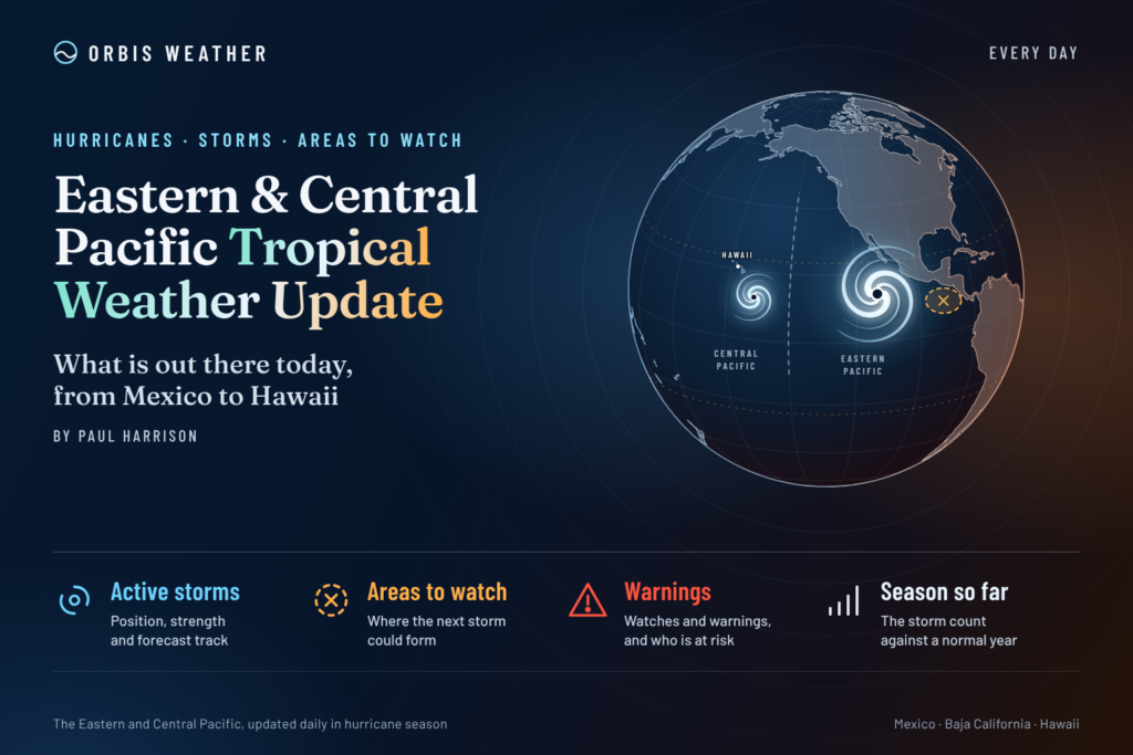




Eastern & Central Pacific Tropical Weather Update: Tropical Storm Vance Strengthens as Another Disturbance Emerges
Thursday, October 22, 2026 | By Paul Harrison | Orbis Weather
Tropical Storm Vance is strengthening over the eastern Pacific Ocean, while forecasters are monitoring another area of potential tropical development in the central Pacific near the International Date Line.
The latest available National Hurricane Center (NHC) advisories indicate that Vance is moving slowly west-northwestward, several hundred miles south of Acapulco, Mexico. Forecasters expect the storm to intensify rapidly as it travels across the warm waters of the eastern Pacific.
Meanwhile, a separate disturbance could develop west-southwest of Johnston Atoll later this weekend or early next week.
Although the Pacific hurricane season is approaching its official end on November 30, tropical activity remains possible across both basins.
🌪️ Eastern Pacific: Tropical Storm Vance
LATEST VERIFIED ADVISORY — OCTOBER 21, 9:00 PM CST
45 mph
72 km/h
WNW
5 mph (8 km/h)
1000 mb
9.6°N, 100.7°W
According to the NHC’s October 21 evening advisory, Tropical Storm Vance had strengthened slightly, with maximum sustained winds reaching 45 mph (72 km/h).
The storm was moving toward the west-northwest at approximately 5 mph (8 km/h), with a minimum central pressure of 1000 millibars.
The National Hurricane Center specifically highlighted the potential for rapid intensification, making Vance the primary tropical system to watch in the eastern Pacific.
Could Vance become a hurricane?
Vance has the potential to reach hurricane strength if environmental conditions remain favorable.
Rapid intensification occurs when a tropical cyclone’s maximum sustained winds increase by at least 35 mph (55 km/h) within 24 hours.
Forecasters will be watching several important factors:
🌡️ Ocean temperatures: Warm water can provide energy for additional strengthening.
🌬️ Wind shear: Relatively weak upper-level winds can help a tropical cyclone maintain its structure.
🌀 Storm organization: A developing inner core can support faster intensification.
🧭 Movement: Changes in Vance’s track will determine whether it approaches any populated areas or remains offshore.
Residents and maritime operators along Mexico’s Pacific coast should continue monitoring official advisories, even while the storm remains offshore.
🌊 Central Pacific: New Tropical Development Possible
The Central Pacific Hurricane Center’s latest outlook identifies a separate area of potential development near the International Date Line.
A low-pressure system is forecast to form several hundred miles west-southwest of Johnston Atoll late this weekend or early next week.
Environmental conditions may become favorable for gradual tropical development as the disturbance moves generally eastward or east-northeastward.
Western Central Pacific disturbance
Near 0%
30%
The NHC and CPHC are monitoring this disturbance, but development is not considered imminent.
🏝️ Hawaii tropical weather outlook
As of the latest available October 21 Central Pacific advisory, there were no active tropical cyclones within the Central Pacific basin, which extends from 140°W to 180°W.
The potential disturbance near the International Date Line remains worth watching, but its forecast development does not establish a direct threat to Hawaii.
Residents should monitor updates from the National Weather Service in Honolulu for any changes to tropical weather, surf or marine conditions.
📊 Eastern & Central Pacific Tropical Activity Summary
Region | Current situation | Outlook |
|---|---|---|
Eastern Pacific | Tropical Storm Vance active | Rapid intensification possible |
Southern Mexico offshore waters | Vance several hundred miles south of Acapulco | Monitor storm track and marine forecasts |
Central Pacific | No active tropical cyclones in the basin | Separate disturbance may develop |
Near International Date Line | Forecast low-pressure formation | 30% development chance within 7 days |
Hawaiian Islands | No confirmed direct tropical cyclone threat in the cited outlook | Continue monitoring official forecasts |
🌀 Why October Tropical Storms Still Matter
October marks the later stages of the eastern and central Pacific hurricane season, but the ocean and atmosphere can still support significant tropical cyclones.
The eastern Pacific hurricane season officially runs from May 15 through November 30, while the central Pacific season runs from June 1 through November 30.
During the final weeks of the season, changing wind patterns, ocean temperatures and atmospheric moisture can influence the development and movement of tropical systems.
Tropical cyclones that remain offshore can still generate hazardous ocean swells, dangerous rip currents and rough seas far from their centers.
🔎 What Orbis Weather Is Watching Over the Next 7 Days
The most important developments to monitor are Vance’s intensity and track, the possible formation of another tropical system near the International Date Line, and any changes to the marine outlook for southern Mexico and the central Pacific.
Forecasters will also watch for new tropical disturbances as the Pacific hurricane season moves toward November.
The next official NHC advisories will provide updated information on Vance’s strength, forecast movement and potential hazards.
🌐 Official Tropical Weather Sources
Orbis Weather uses official meteorological agencies for tropical cyclone information and encourages readers to consult the latest bulletins.
NOAA National Hurricane Center — Official tropical cyclone advisories, forecast tracks and outlooks.
— Eastern Pacific tropical weather.
— Central Pacific tropical cyclone monitoring.
National Weather Service Honolulu — Hawaii forecasts and marine warnings.
Final Outlook
Tropical Storm Vance is the main tropical weather concern in the eastern Pacific on October 22, 2026, with forecasters highlighting the possibility of rapid intensification.
Farther west, the central Pacific remains free of active tropical cyclones in the latest verified advisory, although a disturbance near the International Date Line has a 30% chance of development within seven days.
Orbis Weather will continue following official tropical cyclone information as the 2026 Pacific hurricane season enters its final weeks.
By Paul Harrison — Orbis Weather
Editorial note: This report is based on NOAA/NHC and CPHC bulletins issued through the evening of October 21, 2026. Conditions can change between advisories. Orbis Weather provides independent weather reporting and is not an official warning agency
🌀 Pacific Basin
Live hurricane tracking, tropical activity, satellite imagery, weather, sea temperatures, waves and buoy observations across the Eastern and Central Pacific.
⚠️ Pacific Tropics Right Now
NHC 7-Day Outlook
🌀 Pacific Basin Storm Tracker
Live tropical cyclones · click a storm for track/cone🌀 Pacific Basin Storm Tracker
Live tropical cyclones across the Eastern and Central Pacific. Drag to pan, Ctrl/⌘+scroll to zoom, and click a storm to show its track and cone.