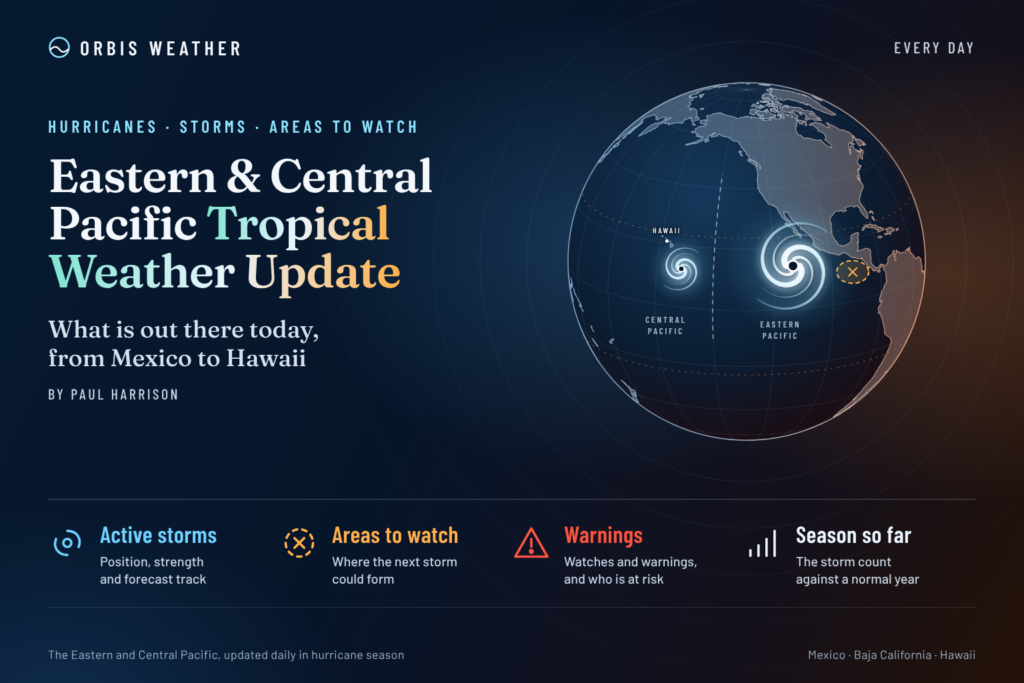
Eastern & Central Pacific Tropical Weather Update: Monday, November 9, 2026
By Paul Harrison, Orbis Weather
Current to 6:47 AM EST (1:47 AM HST; 11:47 UTC) on Monday, November 9, 2026. Products used: Central Pacific Hurricane Center (CPHC) Advisory and Discussion 11 on Tropical Storm Pena, issued 11:00 PM HST Sunday, November 8 (09:00 UTC November 9); National Hurricane Center (NHC) Eastern North Pacific Tropical Weather Outlook issued 10:00 AM PST Sunday, November 8; NHC Eastern Pacific Tropical Weather Discussion issued 16:05 UTC Sunday, November 8; CPHC Central North Pacific Tropical Weather Outlook issued 2:00 AM HST Sunday, November 8.
At a glance
Tropical Storm Pena is moving west well south of Hawaii with no watches or warnings in effect, and no storm threatens land in either basin.
- Pena, the only active cyclone, had 45 mph [75 km/h] winds about 560 miles [900 km] south-southwest of South Point, Hawaii, at 11:00 PM HST Sunday.
- CPHC forecasts “little change in strength” over the next 48 hours; its track points carry Pena west of the International Date Line by Saturday, November 14 (UTC).
- Near Nicaragua, a low-pressure area (Invest EP96) has a low 20 percent chance of becoming a tropical cyclone, but NHC warned of heavy rain for parts of Central America.
- Season: NHC counts 20 named storms, 10 hurricanes and 8 major hurricanes in the eastern Pacific, above the 1991-2020 full-season average.
- Both seasons end November 30.
The National Hurricane Center, the Central Pacific Hurricane Center and national weather services, including Mexico’s Servicio Meteorológico Nacional (SMN), issue the official forecasts and warnings. Follow any evacuation order immediately.
Active storms
One tropical cyclone is active: Tropical Storm Pena in the central Pacific. The eastern Pacific has none.
Storm | Basin | Latest advisory | Position | Max winds | Pressure | Movement | Watches and warnings |
|---|
Tropical Storm Pena (CP04) | Central Pacific (CPHC) | No. 11, 11:00 PM HST Sun Nov 8 | 11.3N 158.4W; about 560 mi [900 km] SSW of South Point, Hawaii, and 830 mi [1,335 km] ESE of Johnston Island | 45 mph [75 km/h] | 1002 mb [29.59 in] | W at 9 mph [15 km/h] | None |
Pena is not a threat to land. CPHC listed no hazards affecting land and no coastal watches or warnings. The next advisory is due at 5:00 AM HST (15:00 UTC) Monday.
Forecast. In its 11:00 PM HST discussion, CPHC said shear and drier mid-level air are limiting strengthening, and “only a few intensity models support modest strengthening over the next several days.” Its forecast keeps Pena at 45 to 50 mph [75 to 80 km/h] through Thursday, November 12. The track points run west near 11N, reaching 178.4W on November 13 at 06:00 UTC and 177.1E, west of the Date Line, on November 14 at 06:00 UTC. A storm crossing the Date Line passes into the western North Pacific basin.
Disturbances to watch
One disturbance is being watched, off Nicaragua, and its formation odds are low. CPHC said tropical cyclone formation is “not expected during the next 7 days” in the central Pacific.
Area | Basin | Location | 48-hour chance | 7-day chance | Outlook issued |
|---|
Invest EP96 | Eastern Pacific (NHC) | Just offshore of Nicaragua; 1007 mb low near 11N 88W in the 16:05 UTC discussion | Low, 20% | Low, 20% | 10:00 AM PST Sun Nov 8 |
NHC said some development was possible “through early Monday” as the low drifts slowly northwest. After that it expected a turn west away from land into unfavorable conditions. The outlook warned of heavy rain for parts of Central America through Sunday night.
The Tropical Weather Discussion listed no tropical waves. The monsoon trough ran from coastal Costa Rica to the EP96 low and on to 06N 97W. A fresh to near-gale gap wind event in the Gulf of Tehuantepec was forecast to pulse through Tuesday night, with another possibly “reaching gale-force” from Thursday night into the weekend.
Season so far
The 2026 eastern Pacific season is well above the 1991-2020 full-season average, and the central Pacific has been unusually active.
Basin | Named storms | Hurricanes | Major hurricanes | As of |
|---|
Eastern Pacific, 2026 (NHC summary) | 20 | 10 | 8 | 21:00 UTC Nov 6 |
Eastern Pacific, 1991-2020 full-season average (NHC climatology) | 15 | 8 | 4 | — |
Central Pacific, 2026 (NHC summary) | 7 | 5 | 3 | 09:00 UTC Nov 5 |
The central Pacific figures include storms that formed east of 140°W and crossed into the basin; NHC lists them as 4 named storms, 4 hurricanes and 3 major hurricanes above the 1991-2020 average. That list does not yet include Pena. NHC reports eastern Pacific accumulated cyclone energy (ACE) at 247.8, or 131 percent above average.
ENSO. NOAA’s Climate Prediction Center discussion of October 8 kept an El Niño Advisory in effect and said a strong-to-very strong El Niño is likely through January-March 2027. NHC climatology notes that moderate to strong El Niño years are correlated with increased central Pacific activity.
What to watch next
- Pena’s next advisory: CPHC, 5:00 AM HST (15:00 UTC) Monday, then every six hours.
- Pena near the Date Line: CPHC’s track points reach 180° around Friday, November 13 to Saturday, November 14 (UTC), when the storm would pass to the western Pacific.
- EP96 off Nicaragua: NHC’s Eastern North Pacific Tropical Weather Outlook, updated every six hours, for formation odds and Central American rain.
- Gulf of Tehuantepec gap winds: NHC’s Tropical Weather Discussion, for the possible gale-force event from Thursday night.
- ENSO update: NOAA’s Climate Prediction Center issues its next ENSO discussion on Thursday, November 12.
About this report
This daily update covers the eastern North Pacific, east of 140°W, where NHC in Miami issues forecasts, and the central North Pacific, from 140°W to the International Date Line, covered by CPHC in Honolulu. Figures come from NHC and CPHC products, NHC season summaries and climatology, and NOAA’s Climate Prediction Center, at the issue times stated above. Storm times are given in the zone each advisory uses (HST for Pena, PST for the eastern Pacific outlook) with UTC alongside. Conditions change quickly, and the newest official advisory always replaces the figures here.
Glossary
- Invest: a weather system NHC is investigating for possible development, given a number such as EP96.
- Monsoon trough: a belt of low pressure and showers near the equator where many eastern Pacific storms begin.
- Gap wind: a strong wind funneled through a mountain gap onto the ocean, such as a “Tehuantepecer” in southern Mexico.
- Saffir-Simpson category: the 1-to-5 hurricane scale by sustained wind; categories 3 to 5 are major hurricanes.
- Accumulated cyclone energy (ACE): a measure of a season’s combined storm strength and duration.
Frequently asked questions
Will Tropical Storm Pena affect Hawaii? CPHC listed no hazards affecting land and no coastal watches or warnings as of 11:00 PM HST Sunday. CPHC described Pena as “passing well south of the main Hawaiian Islands” on a westward track.
Will Pena strengthen into a hurricane? CPHC expects “little change in strength” over the next 48 hours. Its five-day forecast peaks at 50 mph [80 km/h], keeping Pena a tropical storm.
Is a storm forming near Central America? NHC gives the low off Nicaragua a 20 percent chance of becoming a tropical cyclone over seven days. It still warned of heavy rain for parts of Central America.
When does the Pacific hurricane season end? The eastern and central Pacific seasons both end on November 30. Pena and EP96 show that the basins can stay active into November.
Sources
- CPHC, Tropical Storm Pena Public Advisory 11, 11:00 PM HST Sun Nov 8, 2026
- CPHC, Tropical Storm Pena Forecast Discussion 11, 11:00 PM HST Sun Nov 8, 2026
- CPHC, Tropical Storm Pena Public Advisory 10, 5:00 PM HST Sun Nov 8, 2026
- NHC, Eastern North Pacific Tropical Weather Outlook, 10:00 AM PST Sun Nov 8, 2026
- NHC, Eastern Pacific Tropical Weather Discussion, 16:05 UTC Sun Nov 8, 2026
- CPHC, Central North Pacific Tropical Weather Outlook, 2:00 AM HST Sun Nov 8, 2026
- NHC, 2026 East Pacific season summary, as of 21:00 UTC Nov 6, 2026
- NHC, 2026 Central Pacific season summary, as of 09:00 UTC Nov 5, 2026
- NHC, Tropical cyclone climatology, 1991-2020 averages, accessed Nov 9, 2026
- NOAA Climate Prediction Center, ENSO diagnostic discussion, Oct 8, 2026