
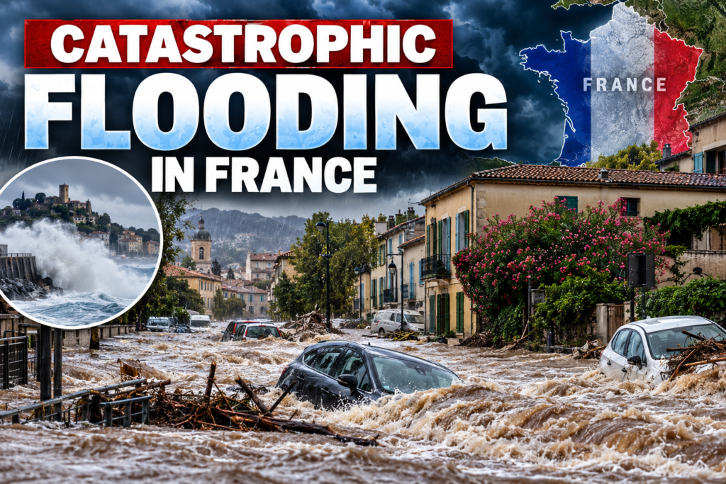




Catastrophic Flooding Hits Southern France as Torrential Rain Triggers Deadly Flash Floods
Orbis Weather | October 20, 2026 | By Paul Harrison

Southern France is battling severe flooding after exceptionally heavy rainfall overwhelmed rivers, submerged roads, damaged homes and triggered emergency evacuations. At least one person has died, while another was reported missing in Corsica.
The flooding began Monday, October 19, and intensified overnight into Tuesday, affecting areas from Hérault and Gard to Provence and Corsica.
In Saint-Mitre-les-Remparts, near Marseille, a 75-year-old man was swept away by floodwaters and later found dead. Emergency crews also searched for a missing person after a vehicle was swept into the Fium’orbu River in Corsica.
Nearly 400 mm of Rain Reported in Corsica
France’s national meteorological agency, Météo-France, described the Mediterranean storm as producing rainfall of exceptional intensity.
Near Solenzara, Corsica, approximately 400 mm (15.7 inches) of rain was recorded during the storm, including an extraordinary 191 mm (7.5 inches) in just one hour at the airport.
Such rainfall can overwhelm drainage systems and cause rivers and streams to rise dangerously fast.
Flooding Forces Evacuations and Damages Communities
Emergency responders have faced dangerous conditions across southeastern France.
Reports describe flooded neighborhoods, displaced vehicles, fallen trees, damaged walls and roads rendered impassable.
In Istres, west of Marseille, residents affected by flooding were evacuated to a gymnasium serving as temporary shelter.
Authorities warned that additional rainfall could worsen flooding, particularly in areas where rivers were already swollen.
Why Southern France Is Vulnerable to Extreme Flooding
Southern France is particularly vulnerable to intense Mediterranean rainfall events, sometimes called épisodes méditerranéens.
These events develop when moisture-rich air from the Mediterranean Sea moves inland and rises over elevated terrain.
The resulting thunderstorms can produce exceptional rainfall over relatively small geographical areas.
Mountain valleys, narrow river basins and heavily developed coastal communities can experience rapid flooding when extreme rainfall occurs over a short period.
What Happens Next?
Météo-France warned that the storm system could also produce damaging winds, hail and intense thunderstorms.
Residents should continue monitoring official flood alerts, avoid flooded roads and stay away from rapidly rising rivers.
Official updates are available through Météo-France and Vigicrues.
Orbis Weather Analysis: The October 2026 floods demonstrate how rapidly Mediterranean storms can become dangerous. The most significant immediate threats are flash flooding, fast-moving river water and landslides in vulnerable terrain.