
Winter Storm Warning Through Sunday: Up to 20 Inches of Snow and 55 MPH Winds Slam Alaska
By Paul Harrison | Founder & Publisher, Orbis Weather
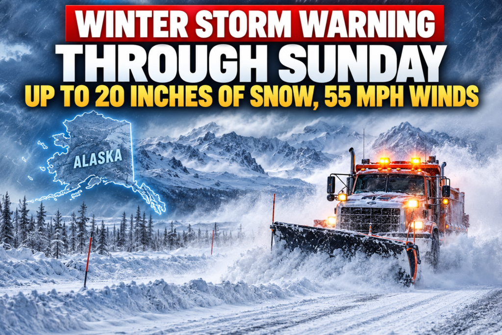






Winter Storm Warning Through Sunday: Up to 20 Inches of Snow and 55 MPH Winds Slam Alaska
ORBIS WEATHER | October 25, 2026 | By Paul Harrison
A powerful winter storm is battering northern Alaska, with up to 20 inches (51 cm) of snow forecast in higher elevations and damaging wind gusts reaching 55 mph (89 km/h). The National Weather Service (NWS) has issued multiple winter storm warnings as heavy snowfall, blowing snow, and dangerous travel conditions threaten communities across the Brooks Range.
The most severe conditions are expected along the southern slopes of the Western Brooks Range and in the Noatak Valley, where a Winter Storm Warning remains in effect until 4 p.m. Alaska Daylight Time on Sunday, October 25.
Forecasters warn that strong winds combined with heavy snowfall could significantly reduce visibility, making travel extremely hazardous across exposed roads and mountainous terrain.
Where the Heaviest Snow Is Expected
According to the National Weather Service in Fairbanks, snowfall totals will vary considerably depending on elevation and location.
Location | Forecast snowfall | Maximum wind gusts |
|---|---|---|
Western Brooks Range, including Red Dog Mine | 10–20 inches (25–51 cm) | 55 mph (89 km/h) |
Noatak Valley | 3–6 inches (8–15 cm) | 55 mph (89 km/h) |
Upper Kobuk Valley | 4–8 inches (10–20 cm) | 50 mph (80 km/h) |
Central Brooks Range | 8–16 inches (20–41 cm) | 35 mph (56 km/h) |
Upper Koyukuk Valley | 8–12 inches (20–30 cm) | 30 mph (48 km/h) |
These are forecast storm totals, not confirmed snowfall measurements.
Dangerous Travel Conditions Across Northern Alaska
Heavy snowfall is only part of the threat.
Wind gusts reaching 55 mph could produce widespread blowing and drifting snow, especially across open terrain and mountain passes.
The combination of accumulating snow and strong winds may create:
❄️ Deep snow accumulation across higher elevations.
🌬️ Severe blowing snow and sharply reduced visibility.
🚗 Snow-covered roads and difficult driving conditions.
🧊 Slippery surfaces where snow changes to freezing rain.
⚠️ Increased risk of motorists becoming stranded in remote locations.
The National Weather Service advises restricting travel to emergencies in the most severely affected areas.
Another Winter Storm Warning Extends Into Monday
Although the warning for the Western Brooks Range is scheduled to expire Sunday afternoon, additional winter weather will continue farther east.
The southern slopes of the Central Brooks Range, including Coldfoot, Wiseman, and portions of the Dalton Highway, remain under a Winter Storm Warning until 10 p.m. Monday, October 26.
Forecasters expect two rounds of heavy snowfall, with 4–8 inches during the first period and another 4–8 inches possible Monday.
This could bring storm totals to 16 inches in some locations, creating additional challenges for travelers and transportation crews.
Freezing Rain Adds Another Hazard
In the Upper Koyukuk Valley, communities including Bettles, Allakaket, Alatna, and Evansville face another concern: freezing rain.
The NWS warns that warmer air arriving Monday afternoon could change snowfall to rain, with some precipitation freezing on contact with surfaces that remain below freezing.
This could produce a thin coating of ice on roads and other exposed surfaces, increasing the danger even after snowfall begins to ease.
Winter Storm Safety: What Residents Should Know
The National Weather Service recommends that residents and travelers in affected areas take precautions:
Avoid unnecessary travel until conditions improve.
Carry warm clothing, blankets, water, food, and emergency supplies.
Check road conditions before beginning any journey.
Keep a charged phone and emergency communication equipment available.
If stranded in a vehicle, remain inside unless it is clearly unsafe to do so.
Motorists can check current Alaska highway conditions at Alaska 511.
What Happens Next?
Conditions across the Western Brooks Range should gradually improve after Sunday’s warning expires, although lingering snowdrifts and poor road conditions may continue to affect travel.
Farther east, the Central Brooks Range and Upper Koyukuk Valley face additional snowfall and possible icing through Monday evening.
Residents should continue monitoring updated forecasts because snowfall amounts, precipitation types, and warning expiration times may change.
Orbis Weather will continue following this winter storm and its impacts across northern Alaska.
Sources: National Weather Service Fairbanks, NOAA weather alerts, and Alaska 511.
Official updates: National Weather Service Fairbanks
About the Author
Paul Harrison — Founder & Publisher, Orbis Weather
Paul Harrison founded Orbis Weather in 2026 to make global weather and natural-hazard information easier to find, follow and understand. His coverage includes tropical cyclones, severe weather, extreme temperatures, earthquakes, volcanoes, wildfires, flooding and significant natural disasters worldwide.
View all articles by Paul Harrison → | Editorial Standards →
Global Weather Tracker Hub
Explore weather maps, tropical systems, storms and natural hazards around the world.
No matching trackers found.