
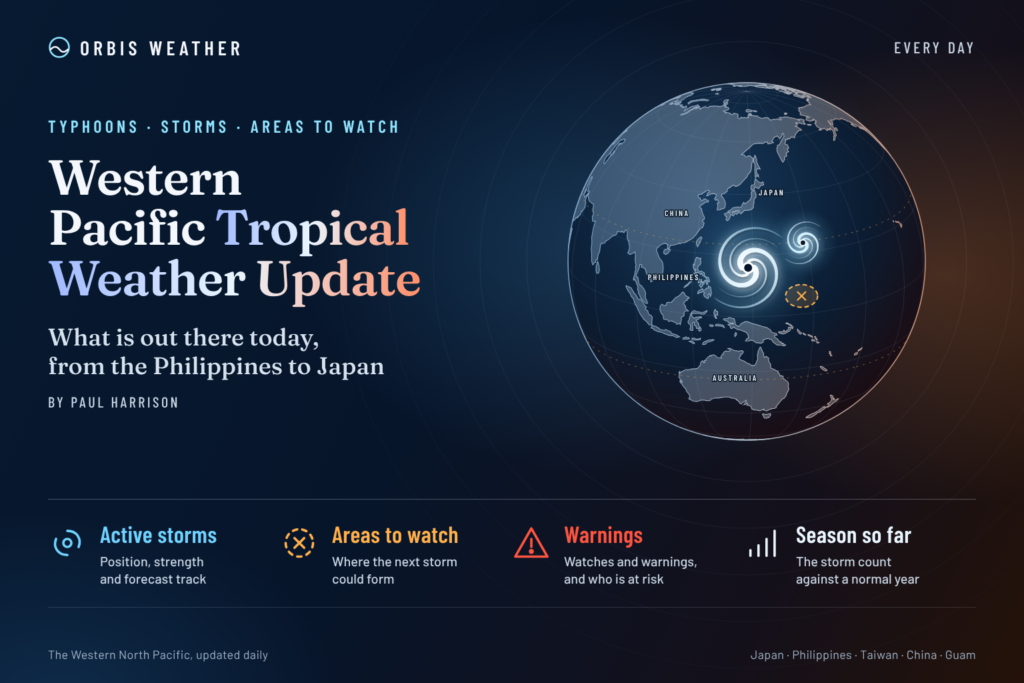






WESTERN PACIFIC Tropical Weather Update – October 27, 2026
Orbis Weather | Tropical Cyclone Monitoring & Forecast Analysis
By Paul Harrison | Orbis Weather
Published: Tuesday, October 27, 2026
Coverage: Western North Pacific, Philippine Sea, South China Sea, Taiwan, Japan, China, Vietnam and surrounding waters
Forecast period: October 27 – November 3, 2026
🌏 Western Pacific Tropical Weather Overview
The Western Pacific remains an important area of tropical cyclone activity as October draws to a close, with forecasters monitoring conditions across the Philippine Sea and surrounding waters following a particularly active period of typhoon development.
The latest weather information highlights three important developments:
🌀 Typhoon In-Fa: A significant tropical cyclone requiring continued monitoring over the open Western Pacific.
🌧️ Philippines: Generally improving weather conditions following Tropical Cyclone Rosal, although localized thunderstorms and changing marine conditions remain possible.
👀 New tropical development: PAGASA is monitoring the potential for another tropical cyclone to approach its forecast domain during the coming week.
The Western North Pacific has no fixed tropical cyclone season, and storms can develop throughout the year. Late October remains a period when warm ocean waters can support powerful tropical systems.
This report examines the latest available storm information, regional weather threats and the outlook for the next seven days.
🌀 1. Typhoon In-Fa: The Main Tropical System to Watch
Typhoon In-Fa has emerged as a major focus of Western Pacific monitoring.
An October 26 regional weather analysis reported that In-Fa was strengthening, with Joint Typhoon Warning Center estimates indicating winds near 132 mph (213 km/h) and a central pressure around 947 hPa.
These are historical estimates from October 26, not a confirmed October 27 intensity.
The principal concerns associated with a powerful typhoon include:
Destructive winds near the cyclone’s core.
Dangerous ocean swells extending beyond the strongest winds.
Heavy rainfall if the circulation approaches populated islands or coastlines.
Potential changes in intensity and track as atmospheric steering conditions evolve.
Forecast confidence: A verified October 27 position, current maximum wind speed and official forecast track were not established from the available advisories during this update. Consequently, Orbis Weather is not assigning a specific landfall location or date.
Readers should consult the Japan Meteorological Agency and Joint Typhoon Warning Center for the latest operational advisories.
🇵🇭 2. Philippines: Conditions Following Tropical Cyclone Rosal
The Philippines experienced significant tropical weather concerns during the previous week as Tropical Cyclone Rosal, internationally known as Champi, affected the broader region.
PAGASA’s October 23 weekly forecast anticipated Rosal leaving the Philippine Area of Responsibility on October 24.
For October 26–27, the agency forecast easterly winds and generally fair weather across much of the archipelago, with localized thunderstorms possible, particularly during the afternoon and evening.
🌧️ Rainfall and thunderstorm outlook
Although a tropical cyclone may no longer be directly affecting the country, residents should remain alert for:
Short periods of heavy rainfall.
Localized street flooding.
Lightning during afternoon thunderstorms.
Gusty winds near developing thunderstorms.
🌊 Marine conditions
Conditions along the northern and eastern seaboards can change as weather systems move across the Philippine Sea.
Small vessels and fishing boats should check PAGASA marine forecasts before departure, particularly around exposed coastal waters.
👀 3. Potential New Tropical Cyclone Development
PAGASA has issued a tropical cyclone threat outlook covering October 26 through November 8.
The agency’s extended forecast examines the potential for tropical cyclone formation and movement toward the Philippine Area of Responsibility.
According to an October 27 report referencing PAGASA’s morning forecast, no tropical cyclone or low-pressure area was then inside or near the Philippines. However, forecasters were monitoring a cyclone farther outside the agency’s immediate monitoring domain.
The report indicated that a system could approach the domain during October 26–November 1, although it was not expected to affect the Philippine landmass on October 28.
Important: This is an extended-range outlook, not confirmation of a new storm’s formation, intensity or eventual landfall. Forecast confidence generally decreases with time, especially for developing tropical systems.
🚨 4. Latest Official Analysis: In-Fa Could Threaten the Northern Mariana Islands
A significant development comes from the US National Weather Service in Guam.
In its October 27 tropical weather discussion, issued at 11:16 a.m. Chamorro Standard Time, forecasters reported Typhoon In-Fa approximately 1,180 miles (1,900 km) east of Guam.
Typhoon In-Fa — October 27 morning analysis
125 mph
201 km/h14.1°N, 162.4°E
North of EnewetakNearly stationary
West at approximately 1 mphSuper typhoon
Possible by ThursdayThe NWS forecast indicated that In-Fa could approach Pagan in the northern Commonwealth of the Northern Mariana Islands on Friday, October 30, potentially at super-typhoon strength.
This raises the risk of destructive winds, torrential rainfall and extremely dangerous seas in the northern islands. The exact track and intensity remain uncertain.
A separate forecast also identified the possibility of In-Fa approaching waters near Japan’s Ogasawara Islands around November 1.
🌏 5. Regional Western Pacific Weather Outlook
Region | Weather outlook | Primary concern |
|---|---|---|
🇵🇭 Philippines | Generally fair intervals with localized thunderstorms | Heavy downpours and lightning |
🇬🇺 Guam | Monitor In-Fa’s evolving track | Increasing marine hazards |
🇲🇵 Northern Mariana Islands | Potential approach of In-Fa later this week | Destructive winds and dangerous seas |
🇯🇵 Japan | Monitoring possible approach toward Ogasawara waters | High surf and strong winds |
🇹🇼 Taiwan | No confirmed immediate direct threat from In-Fa | Monitor later forecasts |
🇨🇳 Southern China | No verified immediate In-Fa landfall threat | Regional rainfall and marine conditions |
🇻🇳 Vietnam | No confirmed direct threat from In-Fa | Local thunderstorms and coastal weather |
🇵🇼 Palau and Yap | Monsoon trough and embedded circulations | Showers and thunderstorms |
Regional assessment based on NWS Guam, PAGASA and published forecasts available October 27. This is not a substitute for local warnings.
📅 6. Seven-Day Western Pacific Tropical Outlook
October 27–28: In-Fa remains the primary tropical cyclone of concern. Monitor its intensity and westward movement. The Philippines should generally experience easterly winds with localized thunderstorms.
October 29–30: The northern Mariana Islands face a potentially serious threat as In-Fa approaches. The possibility of further intensification makes updated warnings especially important.
October 31–November 1: Forecast uncertainty increases. Japan’s Ogasawara Islands could experience deteriorating marine and weather conditions depending on In-Fa’s eventual northward turn.
November 2–3: Confidence in the precise track and impacts is lower at this range. Residents and maritime operators across the affected Western Pacific should continue monitoring official advisories.
These are forecast scenarios, not confirmed future conditions.
🌊 7. Marine and Coastal Hazards
Tropical cyclones can create dangerous conditions hundreds of miles from their centers.
Mariners should pay particular attention to:
🌊 Large swells: Powerful waves can travel well beyond a cyclone’s strongest wind field.
💨 Strong winds: Conditions can deteriorate rapidly near the storm’s circulation.
⛈️ Thunderstorms: Squalls may produce sudden wind gusts and reduced visibility.
🚢 Shipping disruptions: Vessel routes and port operations may be affected by dangerous seas.
Small-craft operators should follow local marine warnings and avoid entering areas affected by tropical storm or typhoon conditions.
🔬 8. Why Tropical Cyclones Can Intensify Rapidly
The Western Pacific contains extensive areas of warm tropical ocean water capable of supporting intense cyclones.
Several factors influence tropical cyclone development.
Ocean heat: Warm water provides energy through evaporation and the release of latent heat during condensation.
Vertical wind shear: Strong changes in wind speed or direction with altitude can disrupt a cyclone’s structure. Lower shear is generally more favorable for intensification.
Atmospheric moisture: Moist air supports sustained thunderstorm development around a tropical circulation.
Steering currents: Large-scale atmospheric pressure patterns influence the direction and speed of tropical cyclones.
A storm’s intensity can change rapidly when several favorable conditions occur simultaneously. This is why forecasts are updated frequently and why projected wind speeds should never be treated as guaranteed outcomes.
🛰️ 9. Official Tropical Weather Monitoring Sources
Orbis Weather uses established meteorological agencies to interpret tropical cyclone activity.
Agency | Information provided |
|---|---|
Official typhoon positions, intensity and forecasts | |
Tropical cyclone track and intensity guidance | |
Philippine cyclone bulletins, rainfall and wind warnings | |
Guam and Micronesia tropical weather discussions | |
Taiwan regional forecasts and typhoon information | |
Satellite imagery and tropical monitoring resources |
❓ 10. Frequently Asked Questions
Is there an active typhoon in the Western Pacific?
Yes. Typhoon In-Fa was active on October 27, with NWS Guam reporting sustained winds of approximately 125 mph (201 km/h) in its morning discussion.
Could In-Fa become a super typhoon?
Yes. NWS Guam indicated that super-typhoon intensity was possible by Thursday, October 29. This remains a forecast rather than a confirmed intensity.
Is the Philippines currently under direct threat from In-Fa?
The October 27 information reviewed did not establish an immediate direct threat to the Philippines from In-Fa. PAGASA was also monitoring possible future tropical development.
Could Japan be affected?
Potentially. Forecasts indicated that In-Fa might approach the Ogasawara Islands around November 1. Its eventual track remains uncertain.
When does the Western Pacific typhoon season end?
Unlike the Atlantic hurricane season, the Western North Pacific has no official fixed start or end date. Tropical cyclones can develop during any month.
📝 11. Orbis Weather Editorial Analysis
The most important development on October 27 is the potential for Typhoon In-Fa to intensify further while moving toward the northern Mariana Islands.
Although the cyclone remains over open water, its projected strength and movement warrant close attention.
The Philippines, meanwhile, is experiencing a relative improvement in conditions following Rosal, although localized thunderstorms and other tropical disturbances remain possible.
For the next several days, the northern Mariana Islands and the broader Western Pacific shipping region deserve particular attention, with Japan’s Ogasawara Islands also requiring continued monitoring.
Forecast confidence is strongest for the near-term presence and movement of In-Fa. Confidence decreases for exact impacts later in the seven-day period.
Orbis Weather will continue to distinguish observed storm conditions from forecast scenarios and developing threats.
📋 Editorial Methodology, Verification and Corrections
Report date: October 27, 2026
Publisher: Orbis Weather
Author: Paul Harrison
Content type: Original weather reporting, forecast interpretation and public-safety information.
This article combines publicly available meteorological information with independent editorial explanation. Its purpose is to help readers understand significant tropical weather developments, regional risks and forecast uncertainty.
The report draws on the October 27 NWS Guam tropical weather discussion, PAGASA’s October 23–30 weekly outlook, the October 26 tropical cyclone threat outlook and additional published regional forecasts.
Wind estimates from different meteorological agencies may vary because of observation methods and averaging periods. Historical observations and future forecasts are identified separately wherever possible.
Corrections policy: If an error in storm location, intensity, timing or attribution is identified, Orbis Weather should correct the article promptly and document material changes. New storm developments should be clearly identified as updates rather than silently incorporated into older observations.
Safety disclaimer: Orbis Weather is an independent weather information publisher, not an official meteorological warning agency. This article is intended for general public information and must not replace official weather alerts, evacuation orders, marine warnings or emergency instructions.
About the Author
Paul Harrison — Founder & Publisher, Orbis Weather
Paul Harrison founded Orbis Weather in 2026 to make global weather and natural-hazard information easier to follow and understand. His reporting covers tropical cyclones, severe storms, flooding, earthquakes, volcanoes, wildfires and significant weather events worldwide