
King Tides Flood Streets on Both U.S. Coasts
By Paul Harrison | Founder & Publisher, Orbis Weather

No news articles published today yet.





King Tides Flood Streets on Both U.S. Coasts
By Paul Harrison, Orbis Weather
Updated Tuesday, October 27, 2026, 3:30 p.m. EDT (12:30 p.m. PDT).
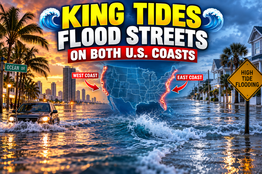
Seasonal high tides known as king tides flooded streets on both U.S. coasts on Monday and Tuesday, October 26 and 27, setting water-level records in South Florida and Southern California. Seawater closed roads and bridges from Miami to Charleston, South Carolina, and from San Diego to the San Francisco Bay Area. No injuries had been reported by Tuesday afternoon.
In Florida, flooding “reached 2.25 feet above normally dry ground in South Port Everglades on Monday,” beating the record set by Hurricane Nicole in 2022, FOX Weather reported. In California, the Los Angeles tide gauge at San Pedro reached a preliminary 8.19 feet (2.50 m) on Tuesday morning, NOAA data show. That is above the 7.93-foot record set in January 2005, according to KTLA.
The National Weather Service (NWS) has coastal flood warnings and advisories in force on both coasts through Thursday or Friday. Residents should follow local officials’ instructions and avoid driving through flooded streets.
Florida and the Southeast
South Florida saw some of the most widespread flooding, with the NWS in Miami warning of flooding “reaching major flood stage on Monday and Tuesday.” In Miami Beach, 4 to 6 inches of water covered a lane of Collins Avenue on Monday morning, the NWS reported, and North Bay Road was closed on Tuesday, WSVN reported. The Virginia Key tide gauge passed moderate flood level for a sixth straight day on Monday, the Palm Beach Post reported.
Fort Lauderdale closed the Las Olas Boulevard bridge in both directions on Tuesday, and Fort Lauderdale Fire Rescue pulled people from flooded homes, WSVN reported. The city told CBS Miami it cannot pump out tidal flooding because the pumps have nowhere to drain at high tide. In Palm Beach County, the Ocean Avenue bridge in Lantana and the westbound PGA Boulevard bridge were closed on Tuesday, according to NWS reports.
Farther north, strong northeast winds added to the tides. St. Augustine’s water ran about 2 feet above forecast on Monday. Chief Resiliency Officer Jessica Beach told News4JAX that “we had a nor’easter pop up that coincided with King Tides.” In Charleston, South Carolina, downtown streets including Broad Street and Fishburne Street closed for three mornings in a row. Charleston Harbor reached a preliminary 7.83 feet above the low-water datum (MLLW) at 9:24 a.m. Tuesday, in the NWS moderate flood range.
Earlier in the week, Subtropical Storm Josephine and a nor’easter brought minor coastal flooding to the Mid-Atlantic and closed North Carolina Highway 12 on Hatteras Island. On the Gulf of Mexico, only minor coastal flood advisories were issued, for the Texas coast near Corpus Christi and South Padre Island.
California
Southern California set new high-water records on calm, sunny days, without a storm. La Jolla’s gauge reached a preliminary 7.98 feet (2.43 m) on Tuesday, NOAA data show, above the 7.81-foot record from November 2015 cited by the Los Angeles Times. The NWS in San Diego said “observed high tides are 1.5 to 1.7 feet above astronomical tide predictions.”
Newport Beach declared a local state of emergency, FOX Weather reported, and about 25,000 sandbags were handed out, according to the Orange County Register as cited by KTLA. Water flooded the Balboa Peninsula, Long Beach’s Belmont Shore and Naples, and Huntington Harbour. Caltrans fully closed Pacific Coast Highway between Huntington Beach and Seal Beach on Tuesday morning, Patch reported. In San Diego’s Mission Beach, a sand berm failed on Monday and water entered homes, ABC 10News reported.
In the Bay Area, seawater flooded part of San Francisco’s Embarcadero south of the Ferry Building on Monday, cutting off access to Pier 14, the San Francisco Chronicle reported. In Marin County, Shoreline Highway flooded near Highway 101 and a stranded driver was towed to safety in Mill Valley, CBS News Bay Area reported.
Forecasters link the extra water to warm ocean conditions. The NWS in San Francisco cited “astronomical high tides combined with higher water levels associated with warm-water expansion during El Niño.” Scientists told the Los Angeles Times that record-warm ocean temperatures are raising sea levels 1.25 to 1.8 feet above what the moon and sun alone would produce. The NWS issued no coastal flood alerts for Oregon or Washington this week.
Alerts in effect and dates to watch
The flooding should ease after midweek in the Southeast, but California’s alerts run into Thursday and Friday. FOX Weather said East Coast water levels “should gradually ease after midweek as the peak astronomical tide cycle subsides.”
Until | Alert or event | Area | Issued by |
|---|---|---|---|
Wed., Oct. 28 (Keys) and 8 p.m. EDT Wed., Oct. 28 (mainland) | Coastal Flood Warning | Florida Keys; Palm Beach, Broward and Miami-Dade coasts | NWS Key West, NWS Miami |
1 p.m. PDT Thu., Oct. 29 | Coastal Flood Warning | San Diego and Orange County coasts | NWS San Diego |
1 p.m. PDT Thu., Oct. 29 | Coastal Flood Advisory | Beaches from San Luis Obispo to Los Angeles counties | NWS Los Angeles |
2 p.m. EDT Thu., Oct. 29 | Coastal Flood Advisory | Outer Banks and Carteret County, N.C. | NWS Newport/Morehead City |
2 a.m. EDT Fri., Oct. 30 | Coastal Flood Warning | Florida’s Atlantic coast from Volusia to Martin counties; northeast Florida beaches and the St. Johns River | NWS Melbourne, NWS Jacksonville |
5 p.m. PDT Fri., Oct. 30 | Coastal Flood Advisory | San Francisco, San Pablo and Monterey bay shorelines | NWS San Francisco |
Nov. 6–9 and Nov. 23–26 | Next king tide periods | Miami Beach | City of Miami Beach |
Nov. 24–26 and Dec. 23–25 | Next king tide periods | California coast | California Coastal Commission |
What king tides are
King tides are the highest predicted tides of the year, and they cause flooding more often as sea levels rise. NOAA describes the term as “a non-scientific term people often use to describe exceptionally high tides.” They happen when the moon is new or full and closest to Earth, which NOAA calls a perigean spring tide.
The tide alone does not always cause flooding. “Major coastal flooding typically occurs in response to strong onshore winds and barometric pressure changes,” NOAA says. This week, northeast winds pushed water onto Florida and Southeast coasts, while warm ocean water raised levels in California.
NOAA says such flooding is becoming more common. Its 2024–25 outlook reported “a median of 5 more flood days per year since 2000, a nearly 200% increase,” and projected “a National average of 45 to 85 days per year by 2050.” In May 2026, NOAA warned that El Niño could add to the problem this year. “The first punch is decades of sea level rise, which has waters close to the brim in many coastal communities,” NOAA’s William Sweet said.
Staying safe
Officials’ main advice is to stay out of floodwater, on foot and in a vehicle.
- “Never walk or drive through flooded streets,” the City of Fort Lauderdale advises, and “be careful around manhole covers, as they can become dislodged by the high tides.”
- Charleston police warn that “low-lying roads and intersections may become impassable” and that drivers should not go around barricades.
- On beaches, the NWS in San Francisco warns that rising tides “will bring water and waves farther up the beach than normal, restricting escape from beaches and coastal areas.”
- Report tidal flooding to local authorities: Miami Beach at 305-673-7625 and Fort Lauderdale at 954-828-8000.
Frequently asked questions
Why did both coasts flood at the same time? Both coasts had seasonally high tides at the same time, but different conditions added water. Strong northeast winds pushed water ashore in Florida and the Southeast, while warm El Niño waters raised sea levels off California, according to the NWS.
Was anyone hurt? No injuries had been reported by Tuesday afternoon. Fort Lauderdale Fire Rescue pulled people from flooded homes, and a stranded driver was towed to safety in Mill Valley, California.
When will the flooding end? Southeast water levels should ease after midweek, FOX Weather reported. California’s warnings and advisories run until Thursday in Southern California and Friday in the Bay Area.
Will it happen again this year? Yes, more king tides are due. Miami Beach expects them on Nov. 6–9 and Nov. 23–26, and California’s next king tides are Nov. 24–26 and Dec. 23–25. The Los Angeles Times reported that king tides around Thanksgiving, Christmas and Martin Luther King Jr. Day will be “exceptionally extreme.”
Sources
National Weather Service and NOAA
- NWS coastal flood products via the Iowa Environmental Mesonet archive, Oct. 20–27, 2026: Miami, San Diego, Los Angeles, San Francisco, Newport/Morehead City, Key West, Melbourne, Jacksonville, Corpus Christi
- NWS local storm reports: Miami, Charleston
- NOAA tide gauge data (preliminary), Oct. 27, 2026: Los Angeles 9410660, La Jolla 9410230, Charleston 8665530
- NOAA: What is a king tide?, updated Sept. 23, 2026; NOAA: perigean spring tide, updated Sept. 23, 2026
- NOAA 2024–25 Annual High Tide Flooding Outlook; NOAA: El Niño and high tide flooding, May 15, 2026
News reports
- FOX Weather: king tides in the Southeast, updated Oct. 27, 2026; FOX Weather: California, updated Oct. 27, 2026
- WSVN: South Florida flooding, Oct. 27, 2026
- CBS Miami, Oct. 26, 2026
- Palm Beach Post via Yahoo, Oct. 26, 2026
- News4JAX: St. Augustine, Oct. 26, 2026
- Charleston City Paper, Oct. 26, 2026
- AccuWeather: NC Highway 12, Oct. 19, 2026
- KTLA via Yahoo, Oct. 27, 2026
- Los Angeles Times via Spokesman-Review, Oct. 26, 2026
- Patch: PCH closure, Oct. 27, 2026
- ABC 10News: Mission Beach, Oct. 26, 2026
- San Francisco Chronicle via Yahoo, Oct. 26, 2026
- CBS News Bay Area, Oct. 26, 2026
- Watchers: California coastal flood alerts, Oct. 26, 2026
Local governments
About the Author
Paul Harrison — Founder & Publisher, Orbis Weather
Paul Harrison founded Orbis Weather in 2026 to make global weather and natural-hazard information easier to find, follow and understand. His coverage includes tropical cyclones, severe weather, extreme temperatures, earthquakes, volcanoes, wildfires, flooding and significant natural disasters worldwide.
View all articles by Paul Harrison → | Editorial Standards →
Global Weather Tracker Hub
Explore weather maps, tropical systems, storms and natural hazards around the world.
No matching trackers found.