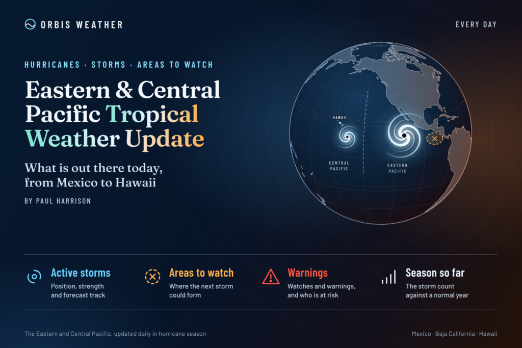
Eastern & Central Pacific Tropical Weather Update: Tuesday, November 10, 2026
By Paul Harrison, Orbis Weather ·
Report current to: 6:47 a.m. EST / 1:47 a.m. HST Tuesday, November 10, 2026 (1147 UTC). Products used: CPHC advisory 15 on Pena, issued 11 p.m. HST Monday, Nov. 9 (0900 UTC Nov. 10); NHC Eastern Pacific outlook, 10 p.m. PST Monday, Nov. 9 (0600 UTC Nov. 10); CPHC Central Pacific outlook, 8 p.m. HST Monday, Nov. 9 (0600 UTC Nov. 10).
At a glance
Tropical Storm Pena is the only active cyclone in either basin, and it poses no threat to land as it drifts west far south of Hawaii.
Pena: 40 mph [65 km/h] winds, about 770 miles [1,245 km] south-southwest of Honolulu, with no watches, warnings or land hazards.
Forecast: little change in strength for a couple of days; CPHC says Pena “could still degenerate into a remnant low or open into a trough.”
Disturbances: none. NHC and CPHC both say formation is not expected during the next 7 days.
Season: the eastern Pacific has run well above the 1991-2020 average, with 20 named storms and 8 major hurricanes by NHC’s Nov. 6 summary.
No storm threatens land today, so this report has no land-threat section.
The National Hurricane Center, the Central Pacific Hurricane Center and national weather services, including Mexico’s Servicio Meteorológico Nacional (SMN), issue the official forecasts and warnings. Follow any evacuation order immediately.
Active storms
Pena, in the central Pacific, is the only tropical cyclone in the two basins; the eastern Pacific has none.
11.7N 163.9W; 510 mi [820 km] SE of Johnston Island
40 mph [65 km/h]
1004 mb [29.65 in]
W at 14 mph [22 km/h]
None
CPHC’s advisory lists “None” under hazards affecting land. Tropical-storm-force winds extend up to 125 miles [205 km] from the center.
Pena formed on Nov. 6 about 650 miles southeast of the Big Island, the Honolulu Star-Advertiser reported that day. On Nov. 8 the paper said CPHC no longer expected Pena to become a hurricane early this week, and that the storm was bringing gusty trade winds to the islands, citing NWS forecasters (Star-Advertiser, Nov. 8).
Forecast in CPHC’s words (discussion 15, 11 p.m. HST Nov. 9): The forecast table holds Pena at 35 knots [40 mph; 65 km/h] for all five days. “Increasingly dry mid-level air beginning around 60 h and strengthening southwesterly vertical wind shear toward the end of the period should inhibit intensification.” Pena “could still degenerate into a remnant low or open into a trough, particularly later in the forecast period.”
Date Line: the forecast coordinates put Pena at 179.4W at 0600 UTC Friday, Nov. 13 and at 175.2E, west of the International Date Line, by 0600 UTC Saturday, Nov. 14. That reading is from the coordinates; the discussion does not mention the crossing. The newest advisory replaces all figures here.
Disturbances to watch
Neither outlook lists an area of interest: “Tropical cyclone formation is not expected during the next 7 days” in either basin.
Area
Basin
Location
48-hour chance
7-day chance
Outlook issued
None listed
Eastern Pacific
—
—
—
10 p.m. PST Mon., Nov. 9
None listed
Central Pacific
—
—
—
8 p.m. HST Mon., Nov. 9
NHC’s 10 a.m. PST Nov. 9 outlook dropped a small low several hundred miles off El Salvador and Nicaragua (Invest EP96) to near 0 percent, saying “development is no longer expected.” NHC’s Eastern Pacific discussion of 1605 UTC Nov. 8 said “another gap wind event may develop in the Gulf of Tehuantepec by Thu night, possibly reaching gale-force into the upcoming weekend.”
Season so far
Both basins are well ahead of normal, with the eastern Pacific at double the average count of major hurricanes.
NHC’s average eastern Pacific season normally reaches its 15th named storm by Nov. 5, its 8th hurricane by Oct. 23 and its 4th major hurricane by Oct. 22, so the full-season average also serves as the average to this date. The central Pacific summary counts storms while in central Pacific waters, including some that formed farther east, and predates Pena. NHC’s central Pacific summary marks each count above normal (+4 named storms, +4 hurricanes, +3 major hurricanes) but does not state the average itself.
NOAA’s Climate Prediction Center discussion of Oct. 8 keeps an El Niño Advisory in place: “El Niño continues to strengthen, with a strong-to-very strong El Niño likely through January-March 2027.”
What to watch next
Pena advisory 16: due 5 a.m. HST Tuesday, Nov. 10 (1500 UTC; 10 a.m. EST) from CPHC, then every six hours. It will replace the figures above.
Pena’s structure: CPHC flagged dry air from about 60 hours and rising shear late in the period, which could turn Pena into a remnant low or trough.
Date Line crossing: forecast coordinates take Pena west of 180° between Friday and Saturday UTC.
Gulf of Tehuantepec: NHC’s next Eastern Pacific discussions will show whether the possible gap wind event from Thursday night reaches gale force.
ENSO update: NOAA’s Climate Prediction Center issues its next ENSO discussion on Thursday, Nov. 12.
About this report
This daily report covers the eastern North Pacific, east of 140°W, where the National Hurricane Center in Miami issues forecasts, and the central North Pacific, from 140°W to the International Date Line, covered by the Central Pacific Hurricane Center in Honolulu. It draws on NHC and CPHC advisories, outlooks and discussions, NOAA climatology and ENSO products, and named news reports. Storm times are given in the zone each product uses (HST for Pena, PST for the eastern Pacific outlook) with UTC alongside. Figures are current only to the issue times stated at the top; official advisories always take precedence.
Glossary
Tropical storm: a tropical cyclone with sustained winds of 39 to 73 mph [63 to 118 km/h].
Remnant low: what is left when a cyclone loses the organized thunderstorms that make it tropical.
Vertical wind shear: a change in wind speed or direction with height, which tears at a storm’s structure.
Gap wind: a strong wind funneled through a mountain gap, such as the “Tehuantepecer” over southern Mexico’s Gulf of Tehuantepec.
Invest: an area NHC is investigating for possible development, given a number such as EP96.
Frequently asked questions
Is Tropical Storm Pena a threat to Hawaii? No. CPHC’s latest advisory has no watches or warnings and lists no hazards affecting land. Pena is moving west, away from the islands, about 770 miles [1,245 km] from Honolulu.
Will Pena become a hurricane? CPHC does not forecast that. Its discussion holds Pena at 40 mph [65 km/h] for five days and says dry air and shear should inhibit intensification.
Is anything developing near Mexico or Central America? Not at present. NHC’s latest Eastern Pacific outlook says formation is not expected during the next 7 days, after a low off El Salvador and Nicaragua faded on Monday.
Why is a tropical storm forming this late in the year? The season runs until Nov. 30, and this year has been very active. Fox Weather reported on Nov. 7 that Pena was the first November tropical storm to form in the Central Pacific since 1982, and quoted University of Miami researcher Andy Hazelton saying El Niño and a westerly wind burst helped spin it up.
Paul Harrison — Founder & Publisher, Orbis Weather
Paul Harrison founded Orbis Weather in 2026 to make global weather and natural-hazard information easier to find, follow and understand. His coverage includes tropical cyclones, severe weather, extreme temperatures, earthquakes, volcanoes, wildfires, flooding and significant natural disasters worldwide.
Live hurricane tracking, tropical activity, satellite imagery, weather, sea temperatures, waves and buoy observations across the Eastern and Central Pacific.
Live tropical cyclones · click a storm for track/cone
🌀 Pacific Basin Storm Tracker
Live tropical cyclones across the Eastern and Central Pacific. Drag to pan, Ctrl/⌘+scroll to zoom, and click a storm to show its track and cone.
Use Ctrl + scroll (⌘ + scroll on Mac) to zoom the map
Connecting…
Intensity
Tropical Depression
Tropical Storm
Category 1
Category 2
Major Cat 3
Category 4
Category 5
No active tropical cyclones in the Eastern or Central Pacific right now.
Live storm data unavailable right now — check the National Hurricane Center directly.
Loading live storm map…
🛰️ NOAA/NHC Hurricane Tracker
Official forecast tracks & cones
Official NOAA/NHC forecast information, opened to a Pacific-focused view. The cone represents the probable path of the storm center, not the full extent of hazardous weather.
Use the layer controls inside the map to switch among rain, wind, temperature, clouds and other weather layers.
🌊 Pacific Coast Sea Temperatures
NOAA CO-OPS · loading
🌊 Pacific Waves & Swell
Windy · ECMWF
Basin-wide waves and swell view. Use the map menu to switch wave height, swell and wind layers. Some model tiles can briefly show unavailable data during model updates.
⚓ NOAA Buoy Conditions
NDBC · loading
Significant wave height combines swell and wind waves. Always use official NWS/NHC marine forecasts for safety decisions.