
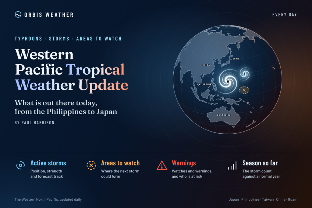





Western Pacific Tropical Weather Update: Typhoon Champi Exits Philippines as Dangerous Seas Threaten Taiwan and Japan
Saturday, October 24, 2026 | By Paul Harrison | Orbis Weather
Typhoon Champi, known as Rosal in the Philippines, has moved out of the Philippine Area of Responsibility and is heading toward the East China Sea. Despite weakening, the storm continues to generate hazardous marine conditions, strong winds and potentially dangerous coastal weather across parts of the western North Pacific.
Meanwhile, tropical disturbances farther east across Micronesia and the Marshall Islands remain areas to monitor for possible development.
According to the Philippine weather agency PAGASA’s final bulletin issued at 11:00 a.m. Philippine time on Saturday, October 24, Champi’s center was approximately 525 kilometers (326 miles) north-northeast of Itbayat, Batanes.
The storm was moving east-northeast at 20 km/h (12 mph), with maximum sustained winds of 120 km/h (75 mph) and gusts reaching 150 km/h (93 mph). PAGASA forecast additional weakening as the system entered the East China Sea.
🌪️ Western Pacific Tropical Activity at a Glance
Tropical system | Latest assessment | Area of concern |
|---|---|---|
🔴 Typhoon Champi (Rosal / 29W) | Typhoon, weakening | East China Sea, Taiwan, Ryukyu Islands |
🟠 Invest 97W | Previously under development monitoring; latest status unconfirmed | Marshall Islands |
🟡 Invest 98W | Previously disorganized; latest status unconfirmed | Micronesia, Yap and Chuuk |
Champi’s status is based on PAGASA’s October 24 bulletin. Disturbance information reflects earlier monitoring reports and should not be treated as a confirmed current formation forecast.
🔴 Typhoon Champi: Strong Winds and Dangerous Seas Remain a Concern
Although Champi has moved away from the northern Philippines, its large wind field continues to affect surrounding waters.
PAGASA reports that the storm is expected to weaken over the next 12 hours, with rapid weakening possible as it progresses through the East China Sea. It could be downgraded to a severe tropical storm during Saturday afternoon or evening.
🇵🇭 Northern Philippines: Marine Hazards Continue
Residents of Batanes, the Babuyan Islands and northern Luzon should remain alert even though the storm’s center has left the Philippine monitoring region.
PAGASA forecasts:
Strong to gale-force gusts across Batanes, the Babuyan Islands and Ilocos Norte.
Very rough seas reaching 5.5 meters (18 feet) along northern Batanes.
Waves reaching 4.5 meters (15 feet) around the northern Babuyan Islands.
Continued hazardous conditions for fishing boats, ferries and small marine vessels.
A gale warning remains in effect for northern Luzon coastal waters.
🇹🇼 Taiwan: Coastal Conditions Remain Hazardous
Taiwan’s eastern and northeastern waters remain important areas to monitor as Champi moves through the surrounding region.
Potential hazards include large swells, dangerous surf, gusty winds and periods of heavy rainfall.
Mountainous areas can experience localized flooding and landslides during intense rainfall, particularly where the ground is already saturated.
Residents should follow Taiwan’s Central Weather Administration for updated marine and land-based warnings.
🇯🇵 Okinawa and Southern Japan: Monitor the Storm’s Next Movement
Japan’s Ryukyu Islands and surrounding waters could experience hazardous marine conditions as Champi progresses northeastward.
The main concerns are:
High waves and powerful surf.
Strong coastal winds.
Disruption to marine transportation.
Heavy rainfall where rainbands approach land.
The Japan Meteorological Agency continues to publish tropical cyclone position and forecast information. Its forecast cones represent uncertainty in the storm center’s future position, not the full area that may experience hazardous weather.
🌀 Tropical Storm In-fa Forms Near the Marshall Islands
A significant new tropical cyclone has formed in the western North Pacific.
The National Weather Service in Guam confirmed that Invest 97W strengthened into Tropical Storm In-fa (30W) at 7:00 a.m. Chamorro Standard Time on Saturday.
The newly named storm was centered near 10.6°N, 166.3°E, approximately 120 miles (193 kilometers) north-northeast of Ujae Atoll.
Satellite imagery showed increasingly organized thunderstorms wrapping around the storm’s center, with heavy rainfall affecting Ujae, Bikini and northern portions of Kwajalein Atoll.
🇲🇭 Marshall Islands: Increasing Tropical Storm Threat
The northern Marshall Islands face the greatest immediate concern from In-fa.
Potential impacts include heavy rainfall, strong gusty winds, elevated surf and dangerous boating conditions.
The National Weather Service previously reported boat damage near Kwajalein during the disturbance’s development. Residents should secure vessels and loose outdoor equipment and follow local weather advisories.
🟡 Invest 98W: Unsettled Weather Across Micronesia
A separate tropical disturbance, Invest 98W, remains near eastern Yap State.
The National Weather Service describes it as a broad, weak circulation extending across portions of Yap and Chuuk.
Significant tropical cyclone development is not currently favored, but the system can still produce showers, thunderstorms and locally gusty winds.
The Mariana Islands could experience periods of unsettled weather through the weekend before conditions improve early next week.
🌊 Western Pacific Marine and Coastal Hazards
Marine conditions remain a major concern across two separate areas of the basin.
Near Champi, dangerous waves and strong winds continue around the northern Philippines and adjacent waters.
Near In-fa, developing tropical storm conditions threaten parts of the northern Marshall Islands, particularly small vessels and exposed coastal communities.
Boaters should consult official marine forecasts before departure and avoid waters covered by gale or hazardous-seas warnings.
📅 Western Pacific Tropical Outlook: October 24–28
Period | What to watch |
|---|---|
October 24 | Champi weakens over the East China Sea; In-fa develops near the Marshall Islands |
October 25 | Continued marine hazards near northern Luzon; monitor In-fa’s track |
October 26 | Watch Champi’s weakening remnants and any associated rain or wind hazards |
October 27–28 | Monitor In-fa’s future movement and any additional tropical disturbances |
These are monitoring priorities rather than confirmed day-by-day storm tracks.
🌏 Why October Remains an Active Typhoon Month
Unlike the Atlantic hurricane basin, the Western North Pacific has no official fixed tropical cyclone season. Storms can develop throughout the year, although activity typically peaks during the summer and autumn.
Warm ocean temperatures, abundant tropical moisture and favorable upper-level atmospheric conditions can support tropical cyclone development well into October.
The simultaneous presence of Champi and newly formed In-fa demonstrates why tropical weather monitoring remains important across the basin.
📡 Official Western Pacific Tropical Weather Sources
🔎 Final Western Pacific Outlook
The Western Pacific now has two named tropical systems demanding attention.
Typhoon Champi is weakening after leaving the Philippine Area of Responsibility, but hazardous seas remain a concern across northern Luzon and surrounding waters.
Tropical Storm In-fa has formed near the northern Marshall Islands, bringing a new threat of heavy rain, strong winds and rough seas.
Invest 98W remains a weaker disturbance, although periods of unsettled weather are possible across Micronesia.
Orbis Weather will continue monitoring developments across the Philippines, Taiwan, Japan, Micronesia and the wider western North Pacific.
Written by Paul Harrison for Orbis Weather.
Editorial note: This independent weather report uses information from PAGASA, the Japan Meteorological Agency and the U.S. National Weather Service, including advisories issued October 24, 2026. Storm positions, intensities and forecasts can change rapidly. Readers should follow their national meteorological agencies for official warnings and emergency instructions.