
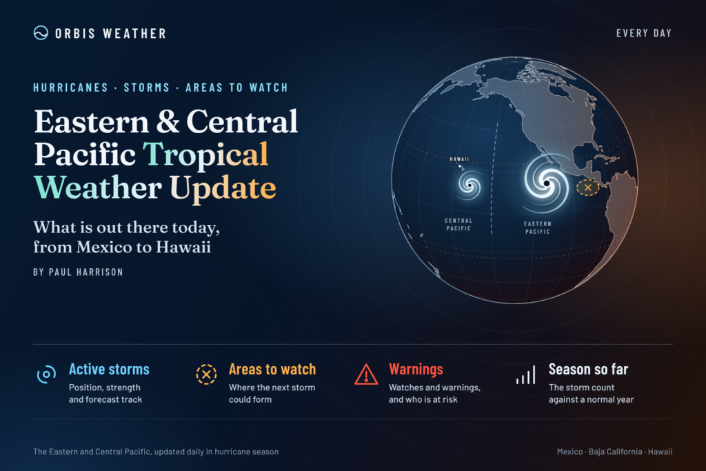





Eastern & Central Pacific Tropical Weather Update — October 24, 2026
By Paul Harrison | Orbis Weather | Saturday, October 24, 2026
Hurricane Vance maintains powerful 110 mph winds south of Mexico as forecasters monitor another potential tropical disturbance near the International Date Line.
The Eastern Pacific hurricane season remains active as October approaches its final week. Hurricane Vance is churning over the warm waters south of Mexico, while meteorologists are watching a separate area of disturbed weather in the western Central Pacific for possible tropical development.
According to the National Hurricane Center (NHC), Vance remains a powerful Category 2 hurricane, just below the threshold for major hurricane status. Meanwhile, the Central Pacific has no active tropical cyclones, although a developing area of low pressure warrants attention.
The 2026 Pacific hurricane season has already featured several powerful storms, highlighting the importance of continued monitoring through November.
🌀 Hurricane Vance — Latest Storm Information
Hurricane Vance
110 mph
177 km/h
965 mb
28.50 inHg
NNW
7 mph (11 km/h)
12.4°N
102.8°W
Where is Hurricane Vance heading?
Vance is moving north-northwest over the Eastern Pacific, several hundred miles south-southwest of Acapulco, Mexico.
The hurricane is producing extremely dangerous conditions near its center, with destructive winds and large ocean swells. Its north-northwest movement makes the future track particularly important for communities along Mexico’s Pacific coastline.
Residents, coastal businesses, fishing operators and marine interests should follow the latest NHC forecast cone and local warnings.
Even when a hurricane’s center remains offshore, dangerous surf, strong rip currents and coastal flooding can affect shorelines far from its track.
Important: The storm’s current position and movement do not establish that landfall will occur. Forecast tracks and intensities can change.
Hurricane Vance — Five-Day Forecast
The NHC expects Vance to begin weakening as it encounters cooler ocean waters and increasing wind shear. However, the forecast also indicates a possibility of temporary restrengthening early next week.
Date | Forecast winds | Expected intensity |
|---|---|---|
Sat, Oct. 24 | 110 mph (177 km/h) | Category 2 |
Sun, Oct. 25 | 105 mph (169 km/h) | Category 2 |
Mon, Oct. 26 | 100–105 mph (161–169 km/h) | Category 2 |
Tue, Oct. 27 | 100 mph (161 km/h) | Category 2 |
Wed, Oct. 28 | 80 mph (129 km/h) | Category 1 |
Selected NHC forecast positions from Discussion #12, issued October 24. These are forecasts, not observed future conditions.
The NHC emphasizes that forecast confidence becomes quite low later in the period, particularly as Vance approaches the vicinity of southwestern and west-central Mexico next week. Changes in steering currents and storm strength could significantly affect its eventual path.
🌊 Mexico Coastal Impacts — Dangerous Surf Expected
Although Vance remains offshore, its effects are already a concern for Pacific coastal communities.
The NHC’s marine discussion reports:
🌊 Large waves: Seas near the hurricane reaching approximately 36 feet (11 meters).
🏖️ Dangerous surf: Life-threatening surf and rip currents expected along portions of southern and southwestern Mexico this weekend and into next week.
💨 Gulf of Tehuantepec: Gale-force northerly winds and rough seas, with strong wind episodes potentially continuing into early next week.
🚢 Marine hazards: Dangerous conditions for vessels near the hurricane and affected offshore waters.
Coastal residents and visitors should follow Mexican weather authorities and local beach advisories.
🌴 Central Pacific Tropical Outlook — Development Area Being Monitored
Western Central Pacific Disturbance
10%
20%
Location: Near or just west of the International Date Line, several hundred miles west of Johnston Atoll.
CPHC outlook issued 8:00 p.m. HST, October 23, 2026.The Central Pacific currently has no active tropical cyclones, but a broad area of low pressure is producing disorganized showers and thunderstorms in the western portion of the basin.
Forecasters indicate that environmental conditions could allow slow development as the system moves eastward or east-northeastward.
At this stage, the disturbance is not a tropical depression or named storm. There is no confirmed direct threat to Hawaii from this system, although its development and movement should continue to be monitored.
🌡️ El Niño and the Active 2026 Pacific Hurricane Season
The 2026 Pacific hurricane season has been particularly active, with major hurricanes including Rachel, Simon and Trudy developing during recent weeks.
One important factor is El Niño, a climate pattern involving warmer-than-average ocean temperatures across portions of the equatorial Pacific.
El Niño can influence tropical cyclone activity by changing atmospheric circulation, wind shear and other environmental conditions. It often favors increased hurricane activity in parts of the Eastern and Central Pacific while suppressing development across the Atlantic.
NOAA’s August outlook anticipated an above-normal Eastern Pacific season, with 15–22 named storms. Actual storm activity must be evaluated using observed data rather than seasonal predictions alone.
📅 When Does the Pacific Hurricane Season End?
The official season dates differ between the two Pacific basins:
Region | Official hurricane season |
|---|---|
Eastern Pacific | May 15 – November 30 |
Central Pacific | June 1 – November 30 |
Although November 30 marks the official end, tropical cyclones can occasionally develop outside the designated season.
🔎 What Orbis Weather Is Watching Next
Over the next several days, the most important developments will be Hurricane Vance’s track toward Mexico, changes in its strength, coastal surf impacts and the possibility of a new tropical depression forming near the International Date Line.
Forecast confidence for Vance’s longer-range track remains limited. Coastal communities should not assume the storm will remain safely offshore.
Official Tropical Weather Sources
For the latest official information, readers can consult:
NOAA National Hurricane Center — active storm advisories, forecast tracks and warnings.
Eastern Pacific Seven-Day Tropical Outlook — areas being monitored for development.
— Hawaii and Central Pacific tropical activity.
NOAA Marine Forecasts — offshore winds, waves and marine warnings.
🌎 Orbis Weather Bottom Line
Hurricane Vance is the primary tropical threat in the Eastern Pacific on October 24, 2026. With sustained winds of 110 mph, the hurricane remains dangerous, particularly for marine interests and coastal communities exposed to powerful swells along Mexico’s Pacific coast.
The Central Pacific remains free of active tropical cyclones, but a low-pressure disturbance near the International Date Line has a 20% chance of development within seven days.
Orbis Weather will continue following official advisories, changes in storm intensity, forecast tracks and potential impacts across both Pacific basins.
Editorial and source note: Prepared by Paul Harrison for Orbis Weather using NOAA National Hurricane Center and Central Pacific Hurricane Center advisories available on the morning of October 24, 2026. This report distinguishes observed conditions from forecasts and is not a substitute for official warnings. Tropical conditions can change rapidly.
SEO & PUBLISHING DETAILS
🌀 Pacific Basin
Live hurricane tracking, tropical activity, satellite imagery, weather, sea temperatures, waves and buoy observations across the Eastern and Central Pacific.
⚠️ Pacific Tropics Right Now
NHC 7-Day Outlook
🌀 Pacific Basin Storm Tracker
Live tropical cyclones · click a storm for track/cone🌀 Pacific Basin Storm Tracker
Live tropical cyclones across the Eastern and Central Pacific. Drag to pan, Ctrl/⌘+scroll to zoom, and click a storm to show its track and cone.