
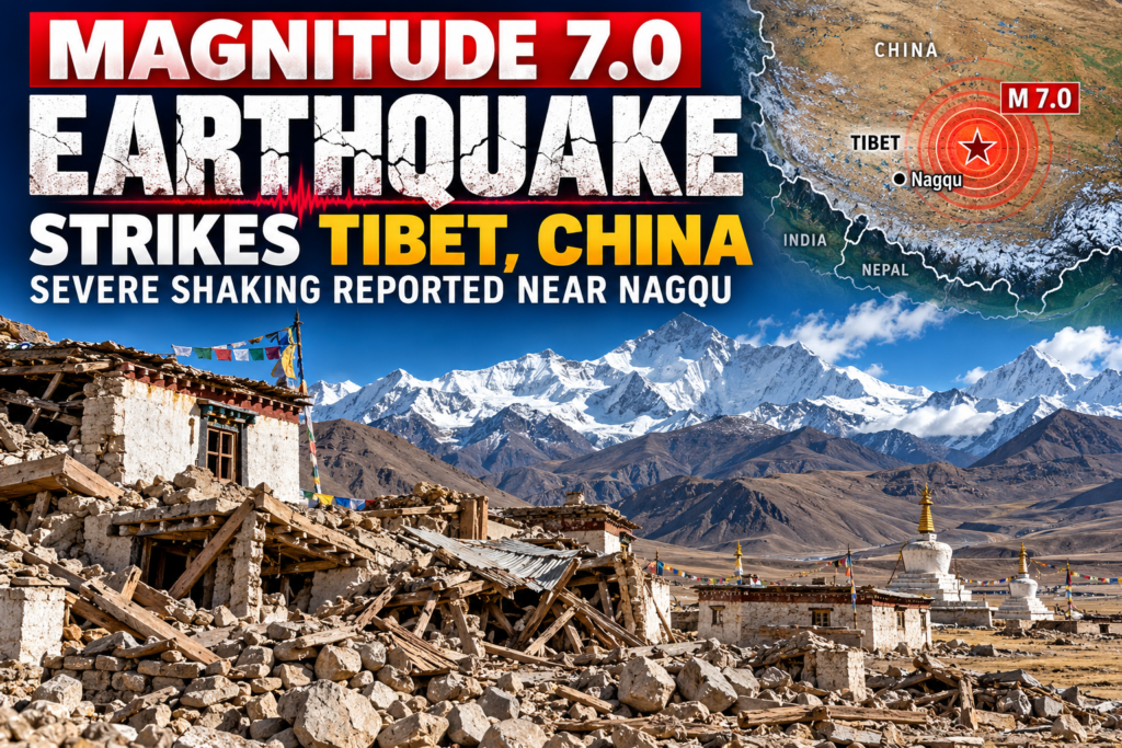




Powerful Magnitude 7.0 Earthquake Strikes Tibet, China — Severe Shaking Reported Near Nagqu
By Paul Harrison | Orbis Weather | Thursday, October 22, 2026

A powerful magnitude 7.0 earthquake struck northern Tibet, China, late Thursday night, October 22, 2026, sending strong tremors across parts of the Tibetan Plateau and raising concerns about possible damage in remote mountain communities.
The earthquake occurred at approximately 10:33 p.m. local time (14:33 UTC), with its epicenter located in Baqên County, within the Nagqu administrative region of the Tibet Autonomous Region.
According to the United States Geological Survey (USGS), the earthquake struck approximately 183 kilometers (114 miles) east-northeast of Nagqu.
China’s Earthquake Networks Center (CENC) also recorded a magnitude of 7.0 and reported a depth of 10 kilometers (6.2 miles), making this a shallow and potentially damaging seismic event.
At the time of the initial reports, authorities had not confirmed any fatalities, injuries or significant structural damage.
🌍 Earthquake details — October 22, 2026
Information | Reported details |
|---|---|
Magnitude | 7.0 |
Location | 183 km ENE of Nagqu, Tibet, China |
Epicentral area | Baqên County, Nagqu |
Date | Thursday, October 22, 2026 |
Local time | 10:33 PM |
UTC time | 14:33 |
Reported depth | 10 km (6.2 miles) |
Estimated maximum intensity | VIII — Severe |
Casualties | No verified figures available |
Damage | Assessments pending |
Tsunami threat | No ocean tsunami threat expected |
Sources: USGS, China Earthquake Networks Center and contemporary reporting. Measurements are subject to revision.
🚨 Strong shaking raises concerns for remote Tibetan communities
The earthquake struck a sparsely populated, high-altitude region of northern Tibet, where mountain terrain and long distances between settlements can complicate emergency response operations.
Reuters reported that the average elevation within five kilometers of the epicenter is approximately 4,864 meters (15,958 feet) above sea level.
The earthquake was reportedly felt across surrounding areas, although detailed assessments of the strongest shaking and damage were still emerging.
The greatest immediate concerns following an earthquake of this magnitude include damaged homes, unstable slopes, landslides, rockfalls and blocked mountain roads.
In remote communities, even relatively localized damage can have serious consequences if roads or communication systems become inaccessible.
However, there have been no independently verified reports establishing widespread destruction from this earthquake in the sources reviewed for this article.
📊 An estimated 132,000 people experienced moderate to strong shaking
Brazilian newspaper Folha de S.Paulo, citing USGS estimates, reported that approximately 132,000 people experienced moderate to strong shaking from the earthquake.
The estimated maximum intensity reached VIII, or Severe, on the Modified Mercalli Intensity scale.
Unlike magnitude, which measures the overall size of an earthquake, intensity describes how strongly the ground shakes at a particular location.
At intensity VIII, vulnerable buildings may suffer substantial damage, while even stronger structures can experience some damage.
These estimates are based on seismic modeling and available population data. They do not establish how many buildings were damaged or how many people were injured.
🏔️ Why Tibet is one of the world’s most earthquake-prone regions
The Tibetan Plateau sits within one of the most active continental collision zones on Earth.
The Indian tectonic plate continues to move northward into the Eurasian plate, creating enormous pressure throughout the Himalayas and the Tibetan Plateau.
This continuing collision has uplifted some of the world’s highest mountains and produced a complex network of active geological faults.
As stress accumulates within the Earth’s crust, rocks can eventually fracture or slip along these faults, releasing energy in the form of earthquakes.
Northern Tibet is particularly vulnerable because seismic activity can occur across a broad region, rather than along a single fault line.
The exact fault responsible for Thursday’s earthquake has not yet been confirmed.
⚠️ Aftershocks could continue for days or weeks
Following a magnitude 7.0 earthquake, scientists expect additional seismic activity in the surrounding region.
Aftershocks are generally smaller than the main earthquake, but some can still be powerful enough to damage weakened buildings or trigger landslides.
The greatest aftershock activity usually occurs during the first hours and days following a major earthquake, although smaller tremors can continue for weeks or months.
People in affected areas should remain cautious around damaged structures and unstable mountain slopes.
The USGS may revise its initial earthquake measurements as additional seismic information becomes available.
🌊 Is there a tsunami threat?
There is no expected ocean tsunami threat associated with this earthquake.
The epicenter was located far inland on the Tibetan Plateau, hundreds of kilometers from the nearest coastline.
Although strong inland earthquakes can sometimes trigger landslides into lakes or rivers, there are no verified reports of such an event associated with Thursday’s earthquake.
📍 Tibet has experienced devastating earthquakes before
The Tibetan Plateau and surrounding Himalayan region have experienced numerous destructive earthquakes.
One of the most devastating recent events occurred in January 2025, when a magnitude 6.8 earthquake struck the Tingri region of Tibet, killing at least 126 people according to contemporary reporting.
The 2010 Yushu earthquake in neighboring Qinghai Province also caused catastrophic destruction and thousands of deaths.
These earlier disasters demonstrate the vulnerability of communities across the region, particularly where construction is not designed to withstand severe seismic shaking.
However, the impacts of past earthquakes should not be used to predict casualties from Thursday’s event.
🚑 Casualties, damage and emergency response
As of the latest information reviewed for this report, there are no confirmed casualty totals or reliable comprehensive damage assessments.
Reuters reported that the earthquake was clearly felt in surrounding areas but that immediate information regarding casualties and property damage was unavailable.
Because the epicenter lies in a remote, mountainous region, damage assessments may take time.
The most important developments to watch are confirmation of injuries or fatalities, damage to residential buildings, possible road closures and landslides, and reports from local emergency authorities.
🔎 What happens next?
Seismologists will continue examining the earthquake’s magnitude, depth, location and possible fault mechanism.
The USGS and China’s seismic authorities may update their initial assessments as additional data become available.
Orbis Weather will follow verified information from scientific agencies, emergency authorities and established international news organizations.
🌎 Orbis Weather assessment
Thursday’s magnitude 7.0 earthquake is a significant seismic event in one of the world’s most geologically active regions.
Its shallow reported depth, severe estimated shaking and remote mountain location raise legitimate concerns about potential damage and difficulties reaching affected communities.
The earthquake itself is confirmed, but its full humanitarian impact remains unknown.
Further information will be added as reliable reports become available.
Orbis Weather — Tracking Earth’s Most Powerful Natural Events.