
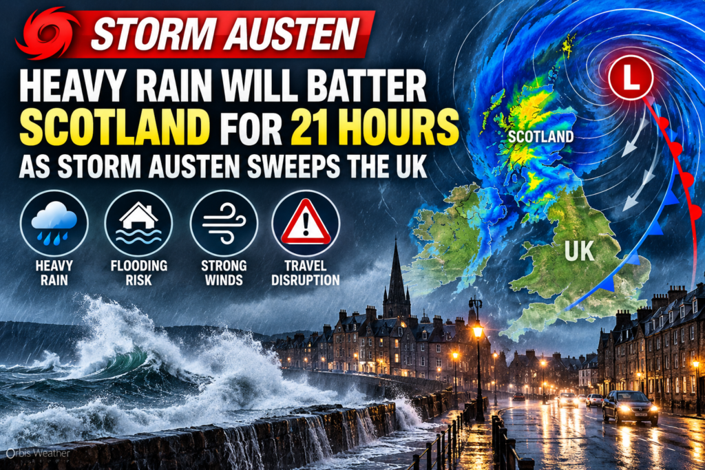




Storm Austen to Batter Scotland With 21 Hours of Heavy Rain as UK Braces for Severe Weather
Orbis Weather | October 21, 2026 | By Paul Harrison
Scotland is bracing for 21 hours of potentially disruptive rainfall as Storm Austen, the first named storm of the 2026–27 season, approaches the United Kingdom. Forecasters are warning of flooding, dangerous travel conditions and powerful winds across parts of Britain.
The UK Met Office has issued a yellow weather warning covering large areas of Scotland from 6:00 a.m. Friday, October 23, until 3:00 a.m. Saturday, October 24.
Rainfall totals of 20–40 mm (0.8–1.6 inches) are expected across much of the warning area, with isolated locations potentially receiving 60–80 mm (2.4–3.1 inches).
The heaviest downpours could overwhelm drainage systems, flood roads and disrupt public transport, particularly in vulnerable and low-lying communities.
Scotland’s Major Cities Under Weather Warnings
The rain warning includes Glasgow, Edinburgh, Dundee, Aberdeen and surrounding communities across central, southern and northeastern Scotland.
Forecasters expect heavy rain to develop before dawn on Friday, spreading into northeastern Scotland during the morning and early afternoon.
Rain should gradually become lighter and clear from the west during Friday evening and overnight.
Potential impacts include:
Flooding of roads, homes and businesses.
Delays or cancellations affecting trains, buses and other transport.
Hazardous driving conditions caused by standing water and poor visibility.
Possible power interruptions and temporary road closures.
Disruption in areas particularly susceptible to flooding.
The Met Office stresses that the severity of impacts will vary, and widespread serious flooding is not inevitable.
Storm Austen Could Bring 80 mph Winds to Southwest England
While Scotland faces prolonged heavy rain, the strongest winds are expected farther south.
An amber wind warning has been issued for Cornwall, the Isles of Scilly and parts of western Devon, where gusts could reach approximately 80 mph (129 km/h) in exposed locations.
The amber warning runs from 3:00 a.m. to 10:00 a.m. Friday.
Other southern areas may experience gusts of 50–60 mph (80–97 km/h), creating a risk of fallen trees, flying debris, transport disruption and coastal hazards.
Why Is Storm Austen Becoming So Powerful?
Storm Austen is developing over the Atlantic, where a powerful jet stream is helping an area of low pressure intensify rapidly.
The jet stream is a fast-moving current of air high in the atmosphere that can strengthen and steer weather systems.
When atmospheric conditions are favorable, pressure at the surface falls, allowing a storm to deepen and its winds to intensify.
According to the Met Office, this interaction is an important factor behind Storm Austen’s development.
More Unsettled Weather Expected Through the Weekend
Storm Austen is forecast to move eastward across Britain on Friday before heading into the North Sea.
Although its strongest winds should diminish later Friday, the unsettled weather pattern is unlikely to end immediately.
Additional Atlantic weather systems could bring further spells of rain and strong winds during the weekend and into early next week, prolonging the risk of disruption in some areas.
What Residents Should Do Before Storm Austen Arrives
Residents in affected areas should check local flood alerts, secure loose outdoor objects, allow extra travel time and avoid driving through floodwater.
Coastal communities in southwest England should be particularly cautious of strong gusts and dangerous conditions near exposed shorelines.
For the latest official information, visit the UK Met Office weather warnings.
Orbis Weather Outlook
Storm Austen presents two major weather threats: prolonged heavy rainfall across Scotland and potentially damaging winds across southwest England.
Friday, October 23, is expected to be the most disruptive day, although additional rainfall and strong winds could continue into the weekend.
Orbis Weather will continue following the storm’s development, rainfall forecasts and potential flooding impacts across the United Kingdom.
Sources: UK Met Office, October 21, 2026; STV News; Sky News. Forecasts and warnings are subject to change.