
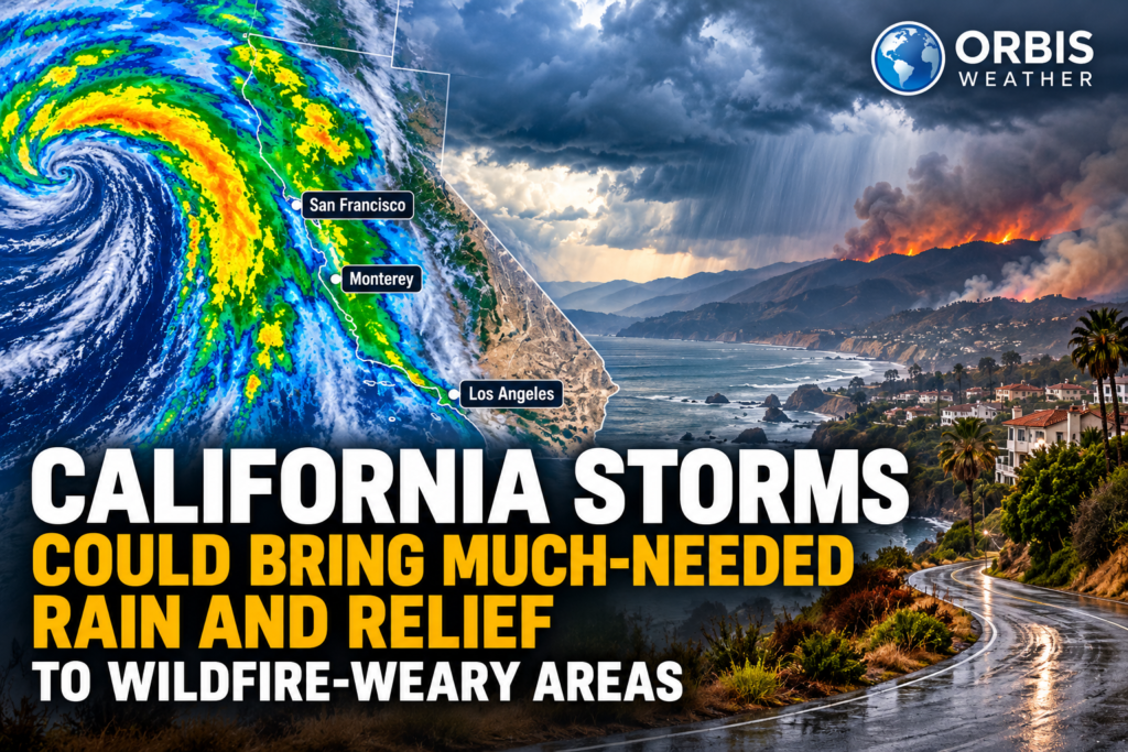

California Storms Could Bring Much-Needed Rain and Relief to Wildfire-Weary Areas
By Paul Harrison | Orbis Weather | Sunday, October 18, 2026
CALIFORNIA — A developing Pacific storm pattern could bring much-needed rainfall to California this week, offering potential relief to wildfire-weary communities after another period of dry conditions and dangerous fire activity.
The approaching weather system is expected to introduce cooler temperatures, increasing humidity and the possibility of widespread precipitation across portions of the state.
For firefighters battling active wildfires and residents concerned about dry vegetation, the changing weather pattern could provide an important opportunity to reduce fire danger.
However, the same storms that bring beneficial rainfall could also produce flash flooding, thunderstorms and dangerous debris flows in areas recently affected by wildfires.
The challenge for California will be getting enough rain to ease wildfire conditions without creating new emergencies.
Pacific storms expected October 20–23
Forecasters are monitoring a developing weather system expected to affect California during the middle of the week.
According to the National Weather Service, a low-pressure system moving into the western United States could produce rain, thunderstorms and cooler temperatures.
Northern California may begin experiencing showers as early as Tuesday, October 20, while portions of Southern California could see more significant precipitation Wednesday and Thursday.
The NOAA Weather Prediction Center is also highlighting the possibility of heavy rainfall across Southern California, the Southwest and the Four Corners region through the latter part of the week.
How much rain could California receive?
Rainfall totals will vary depending on the storm’s track, elevation and local atmospheric conditions.
Location | Forecast rainfall |
|---|---|
San Francisco Bay Area | Up to 0.50 inch (13 mm) |
Northern Bay Area | Up to 0.25 inch (6 mm) |
Monterey and San Benito counties | Locally up to 1 inch (25 mm) |
Southern California | Locally heavy rainfall possible; totals uncertain |
Southwest and Four Corners | Heavy rain possible in favored locations |
The Bay Area rainfall estimates are based on National Weather Service forecasts reported October 18. Southern California rainfall amounts remain more uncertain, particularly where thunderstorms develop.
Even relatively modest rainfall can help improve surface moisture and temporarily reduce wildfire danger.
Wildfire relief arrives after destructive Orange County fire
The approaching storms come just days after the Norte Fire erupted in Orange County.
The wildfire began October 16 near San Clemente and San Juan Capistrano, forcing evacuations and threatening residential neighborhoods.
According to CAL FIRE’s October 18 incident update, the fire had burned approximately 570 acres and reached 50% containment by 10:25 a.m. local time.
Earlier reports indicated that six homes had been damaged or destroyed.
Firefighters continued working to strengthen containment lines and protect surrounding communities.
Rainfall could help firefighting efforts in several ways:
🌧️ Increased moisture: Rain can dampen dry grasses, brush and other vegetation.
🌡️ Lower temperatures: Cooler air can reduce the rate at which vegetation dries.
💧 Higher humidity: Moist air generally makes conditions less favorable for rapid fire spread.
🚒 Improved containment opportunities: Favorable weather can help firefighters strengthen fire lines.
However, rainfall alone does not guarantee that a wildfire is extinguished.
Larger burning logs, deep organic material and isolated hot spots may continue smoldering even after precipitation.
Heavy rain brings a dangerous new threat
While California desperately needs beneficial rainfall, intense downpours could create serious problems in recently burned areas.
Wildfires often remove the vegetation that normally helps stabilize hillsides.
Without that protection, rainwater can move rapidly downhill, carrying mud, rocks, ash and other debris into roads and residential neighborhoods.
These events are known as debris flows, and they can develop with little warning.
Communities near recent wildfire burn scars should remain especially alert if thunderstorms produce intense rainfall.
Areas requiring additional attention
Southern California’s mountainous terrain and recently burned hillsides may be particularly vulnerable to localized flooding and debris movement.
Residents should monitor official alerts rather than assume that every area will experience the same level of danger.
The National Weather Service and local emergency management agencies will determine whether flood watches, warnings or evacuation notices are necessary.
Tropical moisture could intensify rainfall
Another important factor in this week’s forecast is moisture associated with the eastern Pacific tropics.
AccuWeather reported October 18 that moisture from Hurricane Trudy, located off Mexico’s southwestern coast, could stream northward ahead of the approaching Pacific storm.
This additional moisture could increase rainfall intensity across portions of California and the southwestern United States.
When tropical moisture interacts with a colder upper-level low-pressure system, the atmosphere can become more favorable for heavy showers and thunderstorms.
The greatest concern is not necessarily the total rainfall over several days, but how quickly that rain falls.
A short period of intense rainfall can produce flash flooding even when surrounding locations receive relatively modest precipitation.
Cooler temperatures could provide additional relief
The storm system is also expected to bring a noticeable temperature change.
Across the San Francisco Bay Area, daytime temperatures could fall into the lower 60s °F (approximately 16–17°C).
Some inland communities may struggle to reach 70°F (21°C), a significant change from the unusually warm conditions experienced during the preceding week.
The cooler pattern could temporarily reduce the atmospheric conditions that encourage rapid wildfire growth.
However, California’s wildfire risk depends on more than temperature alone.
Wind speed, vegetation moisture, terrain and the amount of dry fuel available all influence how quickly fires can spread.
Could the storms help California’s drought conditions?
Rainfall during October can be beneficial because it arrives near the beginning of California’s traditional wet season.
Early-season storms can moisten soils, reduce dust and begin replenishing surface water supplies.
However, a single storm generally cannot reverse long-term drought.
Meaningful drought recovery depends on sustained precipitation over weeks or months, along with mountain snow accumulation and improvements in groundwater and reservoir storage.
NOAA’s October 2026 winter outlook also indicates an increased likelihood of wetter-than-normal conditions across portions of the southern United States, including parts of California, during the coming winter.
Seasonal outlooks describe probabilities rather than guaranteed outcomes.
What California residents should watch this week
As the storm approaches, residents should monitor:
Rainfall forecasts: Especially in locations vulnerable to flash flooding.
Thunderstorm warnings: Heavy downpours, lightning and gusty winds may develop.
Burn-scar conditions: Recently burned hillsides may experience rapid runoff.
Road conditions: Water, mud and debris could affect mountain roads.
Wildfire updates: Fire activity and containment conditions may change as the weather evolves.
Travelers crossing mountainous areas should also check forecasts for possible snow at higher elevations.
Orbis Weather analysis: A welcome change, but not without risks
The developing Pacific storm pattern could provide California with an important break from recent wildfire weather.
For firefighters, cooler temperatures and higher humidity may create more favorable working conditions.
For residents, rainfall could help clear smoky skies, reduce airborne dust and bring temporary relief from persistent dry conditions.
But the benefits will depend on how the precipitation develops.
Steady, moderate rainfall would be particularly helpful.
Short bursts of intense rain, especially over recently burned terrain, could instead produce flooding and destructive debris flows.
The possibility of tropical moisture entering the system adds another layer of uncertainty to the forecast.
The bottom line: California may be heading into a wetter and cooler stretch of weather, offering potential wildfire relief, but the approaching storms will need to be watched closely for localized flooding and other hazards.
Orbis Weather will continue monitoring the developing system, updated rainfall forecasts and wildfire conditions across California and the western United States.