❄️ About the Live U.S. Winter Weather Tracker
The Orbis Weather Live U.S. Winter Weather Tracker brings several different winter-weather products together in one place, including winter-storm impact guidance, forecast snowfall, snow analysis and official National Weather Service alerts.
These products measure different things. A snowfall forecast, for example, should not be interpreted the same way as a winter-storm impact forecast or an observed snow-depth analysis.
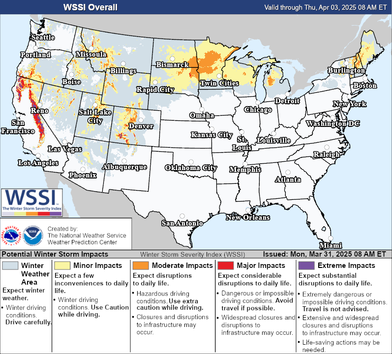
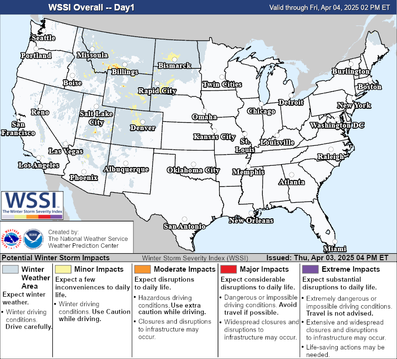
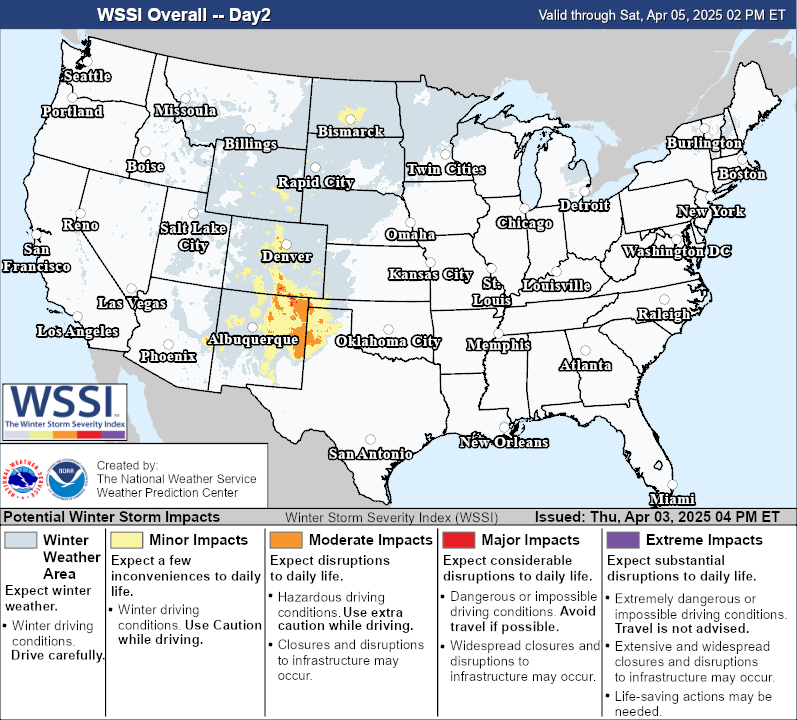
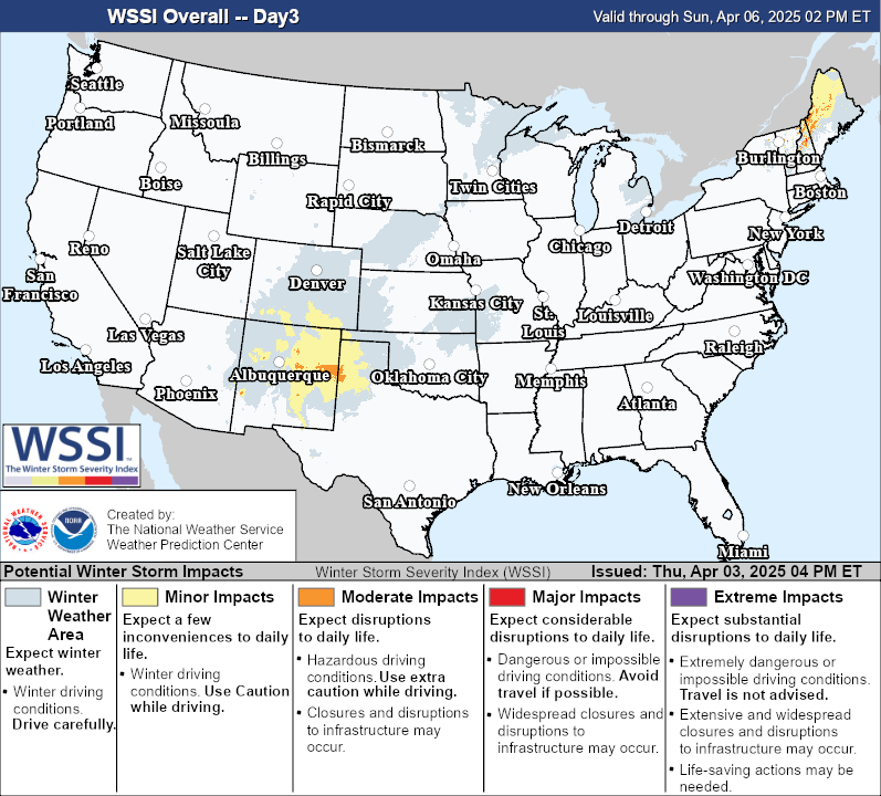
⚠️ Winter Storm Severity Index (WSSI)
The Winter Storm Severity Index (WSSI) from NOAA’s Weather Prediction Center is designed to show the potential societal impacts of winter weather across the United States.
The tracker allows you to examine categories including:
Overall Impacts
Snow Amount
Snow Load
Ice Accumulation
Blowing Snow
WSSI is not simply a snowfall-total map. It combines weather information with factors that help indicate where winter conditions may cause minor, moderate, major or extreme impacts.
This means an area does not necessarily need the country’s highest snowfall total to experience significant winter-weather impacts.
🌨️ Forecast Snowfall vs. Observed Snow
The snowfall map displayed on Orbis Weather uses forecast-model information, including ECMWF data presented through Windy.
Forecast-model snowfall represents what a weather model estimates could occur. It should be treated as forecast guidance rather than an observation of snow already on the ground.
For analysis of snow conditions that have already occurred, NOAA’s National Operational Hydrologic Remote Sensing Center (NOHRSC) provides official snow-analysis products using observations and other data sources.
Forecast snowfall and observed snow analysis therefore answer two different questions:
Forecast snowfall: How much snow could fall?
Snow analysis: How much snow or snow-water equivalent is currently estimated to be on the ground?
🚨 National Weather Service Winter Alerts
Orbis Weather also retrieves active alert information from the National Weather Service and organizes winter-related products into easier-to-use categories.
Depending on current conditions, these may include alerts associated with:
Official NWS watches, warnings and advisories should always take priority when making weather-related safety decisions.
🗺️ Why the Maps May Not Always Match
It is normal for the different maps and products on this page to show different boundaries, amounts or levels of concern.
That is because they are designed to answer different questions.
WSSI estimates potential winter-weather impacts.
Forecast models estimate future atmospheric and snowfall conditions.
NOHRSC snow analysis evaluates existing snow conditions.
NWS alerts communicate official watches, warnings and advisories issued for particular hazards and locations.
Differences between these products do not automatically mean that one of them is incorrect. They may use different datasets, update schedules, forecast periods and methodologies.
🔄 How Current Is the Information?
The tools on this page retrieve information from their respective data providers. Update frequency varies by product.
Some information may update frequently as new observations, forecasts or alerts become available, while other datasets follow scheduled update cycles.
Orbis Weather does not independently issue National Weather Service warnings or NOAA winter-weather products. We organize and display information from authoritative sources to make multiple winter-weather datasets easier to explore from one page.
📊 Data Sources & Methodology
Winter Storm Severity Index: NOAA / National Weather Service / Weather Prediction Center (WPC)
Snow analysis: NOAA / National Operational Hydrologic Remote Sensing Center (NOHRSC)
Forecast-model snowfall: ECMWF model data displayed through Windy
Winter weather alerts: National Weather Service
Orbis Weather may organize, filter or visualize these datasets, but the underlying observations, forecasts, model guidance and official alerts remain products of their respective providers.
⚠️ Winter Weather Safety
Winter storms can produce hazardous travel, power outages, dangerous wind chills, ice accumulation and rapidly changing road conditions.
Use this tracker for general situational awareness and planning, but do not rely on Orbis Weather as your sole source during hazardous weather.
For official watches, warnings, emergency instructions and evacuation information, follow the National Weather Service and appropriate state and local authorities.