

Western Pacific Tropical Weather Update — October 18, 2026
By Paul Harrison | Founder & Publisher, Orbis Weather Sunday, October 18, 2026
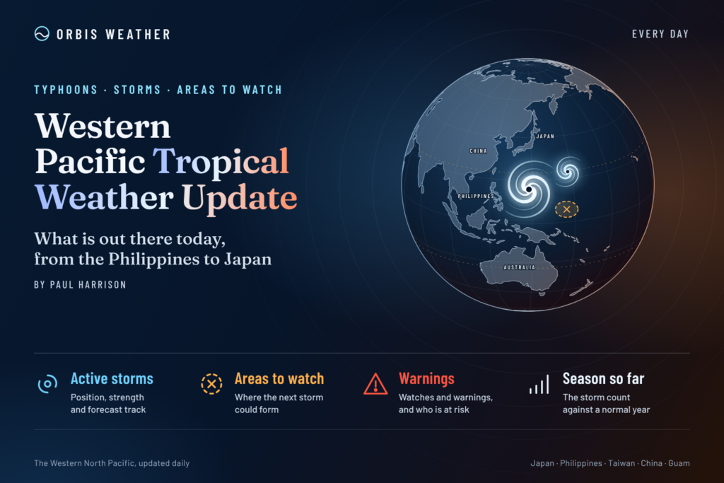
Super Typhoon Champi moves into the Philippine Sea after threatening Guam, with the Philippines and other Western Pacific nations monitoring its next moves.
🌀 Western Pacific Tropical Weather at a Glance
The Western Pacific remains highly active this Sunday as Super Typhoon Champi (29W) moves westward across the Philippine Sea following a period of rapid intensification near Guam and the Northern Mariana Islands.
Champi has developed into an exceptionally powerful tropical cyclone, with winds reaching the equivalent of a Category 4 hurricane on the Saffir–Simpson scale in recent reports.
According to the October 18 midday Philippine tracking analysis, Champi was centered approximately 2,100 kilometers east of the Bicol Region, moving westward at about 26 km/h (16 mph).
The storm’s movement raises several important questions for the coming days: whether Champi will maintain its intensity, how close it may approach the Philippines, and whether its eventual track could affect Taiwan or Japan.
🚨 Super Typhoon Champi: Latest Storm Information
Super Typhoon Champi (29W)
October 18, 2026 · 12:00 PM Philippine Time
Reported peak gust estimate
295 km/h
183 mphForward speed
26 km/h
16 mph · WestEstimated central pressure
934 hPa
Storm position
13.1°N, 142.6°E
🌪️ Guam and the Northern Mariana Islands
Champi approached the Mariana Islands after strengthening rapidly over the warm waters of the Western Pacific.
Before its closest approach, Guam and Rota were placed under typhoon warnings, with officials preparing for destructive winds, intense rainfall, dangerous surf and possible coastal flooding.
Guam also entered Condition of Readiness 1, its highest tropical cyclone preparedness level, on Saturday.
The storm’s compact, intense inner core created a particularly serious threat to locations close to its path. However, impacts can vary considerably across relatively short distances when a powerful cyclone passes near an island.
Important: Confirmed damage totals, rainfall measurements and the final extent of impacts from Champi’s passage were not available in the sources reviewed for this report. It would be premature to report specific destruction or casualties.
Residents should continue following the National Weather Service Guam and local emergency management authorities for post-storm advisories.
Guam’s government confirmed that Champi passed approximately 10 miles (16 km) south of Merizo at 4:26 a.m. Sunday, local time. The National Weather Service reported that the storm’s strongest typhoon-force winds were concentrated over southern Guam.
By midday Sunday, the typhoon was moving away, but dangerous conditions continued.
Guam and Rota: Typhoon warnings remained in effect in the midday advisory.
Tinian and Saipan: Tropical storm warnings and typhoon watches were canceled, although dangerous surf and rip currents remained.
Coastal waters: Significant wave heights could reach 24 feet (7.3 meters) near Guam and 20 feet (6.1 meters) near Rota.
Public safety: Guam remained under Condition of Readiness 1, and public schools were ordered closed Monday, October 19, for damage assessments.
🇵🇭 Philippines: Champi Could Enter the Philippine Area of Responsibility
The Philippines is becoming the next major focus as Champi moves westward.
According to PAGASA’s October 18 afternoon weather report, the super typhoon remained outside the Philippine Area of Responsibility (PAR), approximately 2,000 kilometers east of southeastern Luzon.
PAGASA reported maximum sustained winds of 185 km/h (115 mph), with gusts reaching 230 km/h (143 mph), at 3 p.m. Philippine time. These official sustained-wind estimates differ from the shorter-duration estimates used by other agencies.
PAGASA’s weekly outlook indicates that the storm could enter the PAR during October 19–22.
If Champi enters the PAR, PAGASA is expected to assign the local name Rosal.
Areas to monitor
Eastern Visayas, including Samar and Leyte
Caraga and northeastern Mindanao
Bicol Region
Eastern coastal waters of Luzon
PAGASA expects the cyclone’s trough to contribute to scattered rain and thunderstorms across Visayas, Caraga and Northern Mindanao during October 19–22. However, that does not mean a direct typhoon landfall is forecast.
🇯🇵 Japan, Taiwan and the Ryukyu Islands
The longer-term path of Champi remains an important forecast question.
Large tropical cyclones crossing the Philippine Sea can eventually approach Taiwan, the Ryukyu Islands or southern Japan, depending on the position and strength of surrounding high-pressure systems.
However, Champi’s current westward movement does not establish that any of these locations will experience a direct impact.
Forecasters will be watching the subtropical ridge, possible changes in steering winds and the cyclone’s intensity as it moves farther west.
Residents should follow their national meteorological agencies rather than assume that a particular track is certain several days in advance.
🌏 Other Western Pacific Tropical Activity
South China Sea: No additional named tropical cyclone was identified in the regional reports reviewed for this update. Monsoon and convergence-related rainfall remain possible.
Micronesia: Although Champi is moving away from the Mariana Islands, rough seas and hazardous surf can persist after the cyclone’s center has passed.
Philippine Sea: Champi remains the primary organized tropical cyclone of concern in the reviewed basin reports.
Southeast Asia: Tropical moisture, the Intertropical Convergence Zone and localized thunderstorms can produce flooding independently of Champi.
📡 Western Pacific Outlook: October 18–22
Period | Main concern |
|---|---|
Sunday, Oct. 18 | Champi moves away from Guam; damaging winds and hazardous seas linger |
Monday, Oct. 19 | Philippine Sea track; rain risks increase in parts of the eastern Philippines |
Tuesday, Oct. 20 | Possible entry into the Philippine Area of Responsibility |
Wednesday, Oct. 21 | Monitor intensity, steering winds and rainfall impacts |
Thursday, Oct. 22 | Reassess the storm’s longer-range track and regional threats |
Outlook based on the October 18 regional situation and PAGASA’s October 16–23 weekly forecast. This is a monitoring timeline, not a forecast of landfall or storm-center positions.
🛡️ Tropical Cyclone Safety
For communities affected by Champi, safety remains the priority even as the cyclone moves away.
Avoid flooded roads, exposed shorelines and damaged electrical infrastructure. Do not enter the ocean while dangerous surf and rip-current advisories remain in effect.
Residents of Guam should continue following official instructions regarding sheltering, road conditions, schools and utility restoration.
Communities in the Philippines should monitor PAGASA for tropical cyclone bulletins, rainfall advisories and any future wind signals.
🌐 Orbis Weather: Final Assessment
Super Typhoon Champi is the dominant tropical weather story in the Western Pacific on Sunday, October 18, 2026.
After passing dangerously close to southern Guam, the powerful cyclone is moving westward into the Philippine Sea. Although conditions are gradually improving across parts of the Mariana Islands, coastal and wind hazards remain significant.
The next major concern is Champi’s possible entry into the Philippine Area of Responsibility and its potential influence on rainfall across the eastern Philippines.
The coming 48–72 hours will be important for determining whether Champi remains a powerful open-ocean cyclone or becomes a more direct threat to populated areas farther west.
Orbis Weather will continue following official advisories and significant changes in the storm’s development.