Historic Flooding Grips Indiana as White River Shatters 1913 Record, Statewide Emergency Declared
By Orbis Weather Staff August 14, 2026
Indiana is in the grip of a historic flooding disaster after days of relentless rain sent rivers across the state to their highest levels in more than a century, prompting Governor Mike Braun to declare a statewide disaster emergency, mobilize the Indiana National Guard and request a presidential emergency declaration. At least three people have died, one remains missing, and thousands of residents from Anderson to Connersville have been forced from their homes as rivers continue to rise in what officials are calling a 100-year flood event.
A Record-Breaking Crest
The flooding traces back to a punishing derecho and severe storm system that tore across the Midwest on August 11, dumping more than 11 inches of rain east of Indianapolis in a matter of days. The White River bore the brunt of it, cresting at Anderson at just over 24.5 feet — more than a foot above the previous record set in 1913. Forecasters warn the river is not expected to fall back within its banks until Sunday, meaning the worst of the impact may still be ahead for some communities even as others begin to see water recede.
“Our state response is fully mobilized, resources are moving where they’re needed,” Braun said in announcing the emergency declaration, which now covers roughly 18 counties battered by both flooding and tornado damage from the same storm system.
Communities Under Water
The damage stretches across central and southeastern Indiana. In Anderson, entire streets and homes have been swallowed by several feet of water, and residents have been ordered to evacuate. One homeowner, Charlie Simmons, told reporters he had just finished rebuilding his house months earlier: “I got in a couple months ago. Now it’s destroyed.” Nearby, Yorktown and Delaware County have reported widespread damage, while in Franklin County, floodwaters have covered streets and rail lines in Cambridge City for a second consecutive day.
Farther southeast, the Whitewater River has driven some of the most dramatic rescues of the disaster. Dearborn County issued mandatory evacuation orders for nine low-lying areas, including Longnecker, Pinhook, Cranes Run and Barber, with an emergency shelter opened in Lawrenceburg. In Laurel, fire crews went door to door Wednesday night as water reached chest-deep in parts of town. In Connersville, crews rescued 11 residents overnight from Vine and East 5th streets — one man reportedly refused to leave, choosing instead to keep his dogs on the third floor of his home while rescuers staged nearby. Roughly 30 homes are now underwater in Connersville, along with a grocery store, a gas station and an apartment building. “It’s devastating,” Assistant Fire Chief Nate Stevens said of the damage.
Casualties and Ongoing Risk
Indiana officials have confirmed three storm-related deaths. One person remains missing after four people entered the Mississinewa River during the flooding; the other three were rescued Wednesday night. Emergency crews across the state have carried out dozens of additional water rescues since the flooding began.
The danger is far from over. Additional storms were forecast to move through Indiana on Thursday, with the potential to stall over already-saturated ground and produce rainfall rates of 1 to 2 inches per hour. Flood watches extend beyond Indiana into parts of Iowa, Kentucky and North Carolina. “Any more rain is really going to put us into much more significant problems,” one local official warned. Emergency shelters remain open across the affected counties, including sites in Franklin County and at Crosspointe Biker Church in Connersville, as displaced residents wait out the crisis.
Orbis Weather will continue to track river levels, storm forecasts and the state’s emergency response as this event develops.
Compiled from CBS News, ABC News, Fox19, Yahoo News and OAN reporting.
Sources
- Indiana’s White River breaks 1913 flooding record as governor declares state of emergency — CBS News
- Parts of Southeast Indiana forced to evacuate due to historic flash floods — Fox19
- Indiana governor declares statewide disaster emergency as Midwest floodwaters rise — ABC News
- Gov. Braun declares disaster emergency for 18 tornado, flood-struck Indiana counties — Yahoo News
- Ind.: Record rainfall triggers ‘100-year flood’ across state, pushing rivers to historic highs — OAN

New Jersey Communities Still Cleaning Up After This Week’s Flash Flooding
By Staff Report Saturday, August 8, 2026
New Jersey communities are still drying out and clearing debris after a week of repeated severe thunderstorms and flash flooding swept across the northern part of the state, leaving saturated ground that officials warn could make the region vulnerable to renewed flooding with little warning.
The worst of the flooding hit Monday, August 3, when an intense band of thunderstorms dumped heavy rain across North Jersey and the wider Tri-State area. In Newark, drivers found their cars stalling out in rapidly rising water and had to push vehicles to safety on flooded streets. In Paterson, several vehicles became stranded near St. Joseph’s University Medical Center as roadways turned into waterways. In Westwood, officials closed roads after the Pascack Brook overflowed its banks, an area with a history of flooding during heavy rain events. Emergency crews reported that the ground was already so saturated that floodwaters were slow to recede even after the rain moved out.
That same storm system brought damage beyond flooding. A falling tree struck a charter bus on Interstate 95 in Connecticut, injuring several passengers, while another downed tree in Smithtown, New York, caused a Long Island Rail Road train to strike it, breaking the engineer’s window and sending one person to the hospital.
A second, smaller round of storms followed Friday evening, August 7, triggering renewed flash flooding across New York City and New Jersey communities, including Paterson, during the evening commute. Slow-moving thunderstorms overwhelmed drainage systems in low-lying areas, a now-familiar pattern for a region that has seen repeated heavy rain events in recent days.
As of Saturday, conditions have calmed. The National Weather Service’s Newark-area office has no active flash flood warning in effect. The office’s current hazardous weather outlook notes only the potential for isolated to scattered thunderstorms capable of producing locally heavy rain, alongside a heat advisory in effect until 8 p.m. and an air quality alert for the day. Forecasters caution, however, that the ground across the region remains saturated from this week’s repeated storms, meaning any new heavy rainfall could trigger flash flooding more quickly than usual, even from storms that might not otherwise be considered severe.
Residents in flood-prone areas such as Newark, Paterson and Westwood are encouraged to monitor local weather alerts closely in the coming days and avoid driving through standing water, as roadway flooding remains one of the leading causes of flood-related injuries and deaths.
Compiled from the National Weather Service and local news coverage of this week’s storms.
Sources
- Weather in NYC: Heavy rain, flash flooding in NJ makes for dangerous commute – ABC7 New York
- More flooding concerns for NYC, parts of N.J. as rainy weather soaks Tri-State Area – CBS New York
- Thunderstorms bring flash flooding, heavy downpours to NYC, Tri-State area – ABC7 New York
- NWS Newark, NJ area forecast/hazardous weather outlook

Flash Floods Force Evacuations Across Hubei Province as Storm Bands Pound Central China
ORBIS WEATHER August 7, 2026
A wave of intense downpours swept across Hubei Province in central China this week, triggering flash flooding, road closures and emergency evacuations in at least two major population centers, as the region absorbs repeated rounds of severe weather during an already difficult summer.
The clearest-documented incident struck Yiling District in the city of Yichang on August 4, when strong downpours dumped more than 200 millimeters of rain on parts of the district, with Letianxi Town alone recording 60.4 millimeters in a single hour, according to China News Service. The sudden deluge sent floodwaters through low-lying towns, prompting authorities to urgently evacuate 498 households — 1,057 people in total — including 352 residents of Letianxi Town and 103 residents of Santouping Town. More than 400 local officials and village staff carried out door-to-door evacuations, backed by more than 150 emergency personnel and two dozen pieces of heavy machinery for debris clearance. Several roads, including sections of national Route 348 and the S48 Zhangtai Expressway, were closed, and tourist operations at nearby scenic areas — including the Three Gorges Dam — were suspended as a precaution. No deaths or injuries were reported in the Yichang flooding.
Two days later, on August 6, a separate and even more intense burst of rain hit Shiyan, in Hubei’s mountainous northwest, where 122 millimeters fell in just three hours. Video circulated by Taiwan’s EBC News showed a white sedan swept away by fast-rising floodwaters in the city center as the Shendan River rose roughly five meters. Drainage systems were overwhelmed, delivery riders and motorcyclists were caught in the surge, and firefighters worked to rescue residents trapped in low-lying neighborhoods; mountain flash flooding was also reported in surrounding areas. As of this report, no fatalities have been confirmed from the Shiyan flooding, though local authorities had not yet released a final damage assessment.
The flooding arrived as Chinese meteorological authorities renewed rainstorm and severe-convective-weather alerts across central China on August 4, according to People’s Daily Online, part of a broader pattern of red- and orange-level warnings issued this week as moisture-laden weather systems moved across the Yangtze River basin. Meteorologists have linked the persistent rain risk in part to the same broader tropical moisture pattern feeding Typhoon Dolphin, which is separately battering Japan’s Okinawa Island this week before its forecast track carries it toward the East China Sea and eventual landfall in eastern China (see Orbis Weather’s companion Western Pacific typhoon report for full details on Dolphin).
This week’s rain is only the latest chapter in what has been a punishing season for Hubei. On July 7, tornado-producing thunderstorms and severe convective weather killed eight people and left one missing across the eastern Hubei cities of Huangshi, Huanggang, Ezhou and Xianning, injuring 275 people in Huangzhou District alone and forcing the evacuation of more than 400 residents. In mid-May, flash flooding tied to torrential rain in Xuan’en County killed three people and left four missing, part of a wider bout of flooding that struck southern and central China that month. Taken together, the events illustrate a province that has cycled through tornadoes, flash floods and landslide-triggering downpours multiple times since spring, even as this week’s incidents in Yichang and Shiyan have so far been managed without loss of life.
Hubei’s exposure fits a wider regional pattern this summer. Neighboring Gansu Province has recorded two deadly flooding disasters of its own in recent weeks — a July 26 flash flood at the Shuangshimen Scenic Area that killed 25 people, and a landslide in Dangchang County that killed 21 — while monsoon flooding has displaced well over a million people combined across Pakistan, Bangladesh, India, Afghanistan and Myanmar. Chinese authorities have also issued flood warnings this week for Shaanxi Province, immediately north of Hubei, where more than 115,000 people have been relocated amid continuing heavy rain, underscoring how widely the current rain bands are stretching across central China.
Forecasters expect scattered heavy rain to continue affecting parts of Hubei and neighboring provinces in the coming days as the broader monsoon pattern remains active and as Typhoon Dolphin’s eventual track toward the Chinese coast adds additional moisture to the region. Residents in flood-prone and mountainous areas of Hubei are advised to heed evacuation orders from local authorities, avoid crossing flooded roads or rivers, and monitor updates from China’s Ministry of Emergency Management and regional weather bureaus as the situation develops. Orbis Weather will continue to track conditions in Hubei and across central China this week.
Sources
- 湖北宜昌遭遇强降雨 紧急转移千余人 — Hubei’s Yichang hit by heavy rain, more than 1,000 urgently evacuated (China News Service, Aug. 5, 2026)
- 暴雨突襲湖北!山洪爆發捲走小客車 — Heavy rain hits Hubei, flash flood sweeps away car (EBC News, Taiwan, Aug. 6, 2026)
- China renews alerts for rainstorm, severe convective weather (People’s Daily Online, Aug. 4, 2026)
- Eight dead after thunderstorms hit China’s Hubei; several missing after landslide in Gansu (Prokerala, July 7, 2026)
- 3 dead, 4 missing as rescuers battle floods in Hubei (China Daily, May 19, 2026)
- China flash flood death toll rises to 25 (Manila Times, Aug. 3, 2026)
- 陕西持续强降雨致11.5万人转移 — Shaanxi’s continuing heavy rain forces relocation of 115,000+ people (China News Service, Aug. 5, 2026)
- Airport closes in Okinawa as Typhoon Dolphin hits parts of southern Japan (Associated Press via WRAL, Aug. 7, 2026)
This article was compiled from publicly available reporting, including translated Chinese-language local news coverage, for illustrative branding purposes under the Orbis Weather name. It is not an official product of China’s Ministry of Emergency Management, the China Meteorological Administration, or any other government agency. Casualty figures for fast-moving flood events can change as assessments continue; for official warnings and verified updates, consult the China Meteorological Administration, provincial emergency management authorities, or your national meteorological service directly.

Flooding Leaves Massachusetts Roads Impassable as Severe Storms Move Through
By Orbis Weather Staff | August 3, 2026
The slow-moving storm system that triggered flash flood warnings across New Hampshire and Massachusetts earlier today has made good on the threat, leaving roads impassable across central and western Massachusetts by mid-afternoon. As of a 3:17 p.m. update, water and downed trees had closed streets in at least six communities, and forecasters said several more inches of rain were still expected before the system finally clears the region.
The Fitchburg-Lowell-Leominster corridor has taken the worst of it. In Lunenburg, Electric Avenue — Route 13 — is closed between West Street and Whalom Road. Next door in Leominster and Fitchburg, Merriam Avenue is shut at the Route 2 interchange, and Route 2 itself has been reduced to a single lane in each direction. Meteorologists had flagged this corridor over the weekend as one of the areas most likely to flood, in part because it had already absorbed several inches of rain from an earlier storm just days prior, leaving the ground with little capacity to soak up more.
Farther west, Piper Cross Road in West Springfield is completely underwater, and South Hadley has multiple flooded streets across town. Flooding has also been reported in Brockton, southeast of Boston, while in Westminster a downed tree — a product of the storm’s damaging wind gusts — has closed Spruce Road near 38 Spruce Road. Forecasters had separately warned of isolated severe thunderstorms capable of producing damaging winds across interior areas, with gusts of 40 to 50 mph expected as the system pushed toward Cape Cod and the Islands.
Flash flood warnings remain in effect for western and central Massachusetts, as well as for the Hartford and Springfield areas, as rain continues to fall on already-saturated ground. No water rescues or injuries have been reported in connection with today’s flooding, and the closures so far appear to be limited to roads rather than any evacuations. Still, the National Weather Service is repeating its standard warning for a reason: most flood deaths happen in vehicles. A car can stall in as little as 6 inches of moving water, begin to float in 12 inches, and be swept away entirely in 18 to 24 inches — which is why officials are urging drivers to turn around rather than attempt to cross a flooded roadway, however familiar the route.
Forecasters expect the rain to taper off through the evening as the system finally pushes offshore, with drier and less humid conditions returning behind it overnight and into Tuesday.
Orbis Weather will continue to monitor road conditions and flood warnings across Massachusetts as this system exits the region. This report was compiled from the National Weather Service, Boston 25 News, Boston.com, and the Boston Globe.
Sources
- Flooding leaves Massachusetts roads impassable as severe storms move through — Boston 25 News
- Flooding leaves Massachusetts roads impassable as severe storms move through — Yahoo News
- Here’s what meteorologists are saying about heavy rain and possible flooding Monday — Boston.com
- Flash flood warnings issued for parts of Southeastern Mass., R.I. as storm brings heavy rain, possible thunderstorms — Boston Globe

Rare ‘178-Year’ Storm Unleashes Historic Flash Flooding on North Carolina Foothills
By Orbis Weather Staff | August 4, 2026
A slow-moving band of intense thunderstorms dumped nearly a foot of rain on the North Carolina foothills over the weekend, triggering a flash flood emergency, a municipal state of emergency, and an overnight scramble of water rescues in Surry County. Meteorologists say the rainfall was so extreme it had only a 1-in-178-year chance of occurring, and the flooding stretched into a broader multi-state event that also forced emergency declarations and rescues in neighboring Georgia and Tennessee.
A rainfall event once in nearly two centuries
The hardest-hit area centered on Mount Airy, Pilot Mountain, King and Ararat, small communities in Surry County in the state’s western Piedmont and foothills region. A narrow corridor of storms stalled over the area and produced between 5 and 10 inches of rain in a matter of hours, with some spots in northeastern Surry County recording nearly 12 inches. Forecasters calculated that a rain total of that magnitude has roughly a 1-in-178-year chance of happening in any given year — the statistical basis for what local outlets have dubbed a “178-year flood.”
The Ararat River bore the brunt of the runoff, surging 17 feet in just three hours before cresting at 29 feet, about 10 feet above minor flood stage. The National Weather Service issued a Flash Flood Emergency, its most urgent flood warning category, for the area surrounding Mount Airy and Pilot Mountain as water rose with little warning through populated areas.
Overnight rescues and a declared emergency
As floodwaters rose Saturday night into Sunday, the Pilot Mountain Rescue Squad, local EMS crews and other first responders worked through the night pulling stranded residents from flooded vehicles and homes and fielding a steady stream of emergency calls. The city of Mount Airy declared a municipal state of emergency as officials described it as one of the most challenging nights in the community’s history.
At least four homes were flooded, and several businesses suffered major damage, including the Surry County Public Works facility, where officials said only two of its vehicles remained operational after the storm. Multiple vehicles elsewhere in the county were destroyed by the floodwaters. No deaths or injuries have been reported in connection with the North Carolina flooding.
Part of a wider Southern Appalachian flash-flood outbreak
The storm system that hit Surry County was part of a broader stretch of flash flooding across the Southern Appalachians over the weekend. In McCaysville, Georgia, near the Tennessee border, officials declared their own municipal state of emergency after 3 to 4 inches of rain fell in a short span. Nearby, along the Polk-Fannin county line nestled around the Ocoee River, rescue crews evacuated 13 stranded visitors — travelers from Florida, Puerto Rico and Middle Tennessee — who had become trapped by rising water and were taken to a fire station for shelter. None were injured.
Cleanup continues
As of the most recent reports, cleanup and damage assessments were still underway across the affected region. Multiple roads in Surry County remained closed, water-system repairs were in progress, and several businesses stayed shuttered while crews cleared debris and assessed structural damage. Emergency officials have not indicated when normal conditions are expected to return to the hardest-hit communities.
Compiled from reporting by Charlotte Stories, The Watchers, and Weather.com, and National Weather Service flash flood emergency bulletins.
Sources









Live Lightning Map
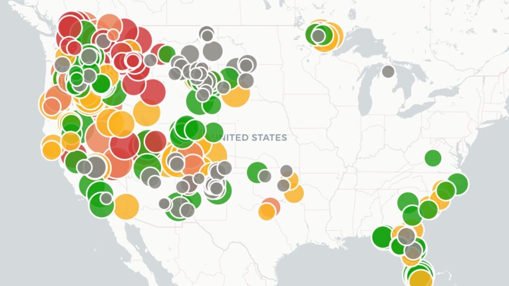
Live U.S. Wildfire Tracker

Live Wildfire Smoke & Air Quality Tracker

Live Earthquake Map
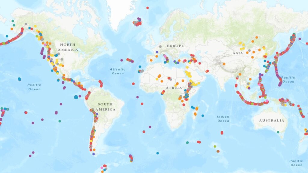
Live Volcano Eruption Tracker
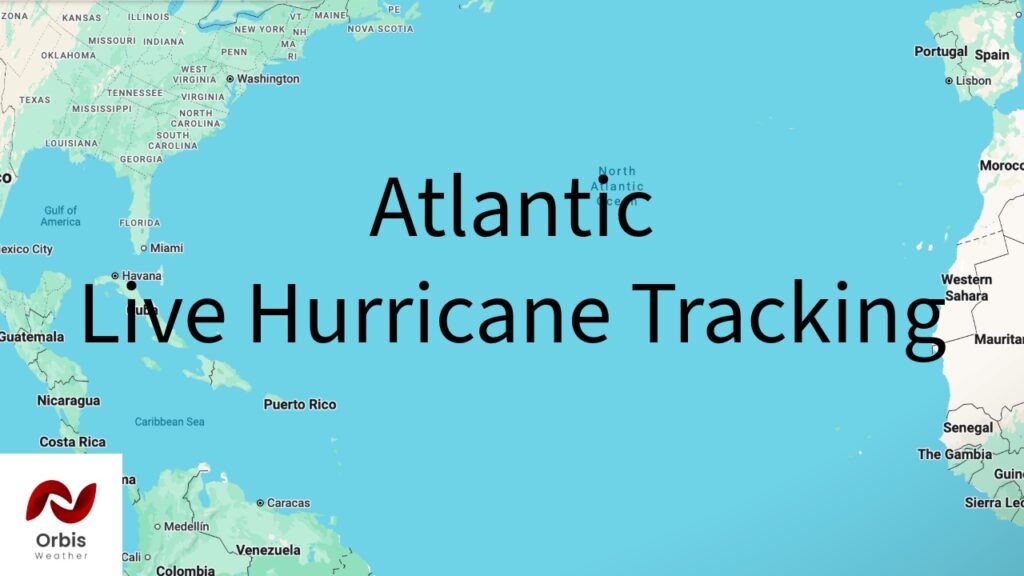
Atlantic Ocean Charts: Live Hurricane Tracking, Tropical Updates & Ocean Conditions
Gulf Charts: Live Hurricane Tracking, Tropical Updates & Ocean Conditions

Pacific Ocean Charts: Live Hurricane Tracking, Tropical Updates & Ocean Conditions