
🌏 Southeast Asia Weather & Natural Hazards Today:

- Europe Weather & Natural Hazards Today – Wednesday, November 18, 2026 7:09 PM
- Southeast Asia Weather & Natural Hazards Today: Wednesday, November 18, 2026 7:01 PM
- Singapore Lightning & Thunderstorms This Week — Wednesday, November 18, 2026 6:54 PM
- Africa Weather & Natural Hazards Today — Wednesday, November 18, 2026 5:12 PM
- Middle East Weather & Natural Hazards Today – Wednesday, November 18, 2026 3:58 PM
- Europe’s Cold Spots This Week Nov 17, 2026 2:56 PM
- Australia, New Zealand & Oceania Weather & Natural Hazards Today — Wednesday, November 18, 2026 11:04 AM
- North America Weather & Natural Hazards Today – November 17, 2026 8:16 AM
- Central America Weather & Natural Hazards Today – Tuesday, November 17, 2026 8:03 AM
- South America Weather & Natural Hazards Today – Tuesday, November 17, 2026 7:50 AM
- Weekly Tropical Storm Tracker: Tuesday, November 17, 2026 7:37 AM
- Daily Earthquakes, Storms, Fires & Floods Report — November 17, 2026 7:29 AM
- Australian Region Tropical Weather Update: Tuesday, November 17, 2026 7:09 AM
- Southwest Indian Ocean Tropical Weather Update: Tuesday, November 17, 2026 7:01 AM
- WESTERN PACIFIC Tropical Weather Update – November 17, 2026 6:56 AM




Southeast Asia Weather & Natural Hazards Today: Wednesday, November 18, 2026
· @Paul
By Paul Harrison, Orbis Weather
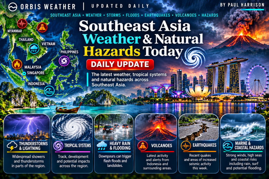
Flooding in western Peninsular Malaysia, a five-day flood and landslide alert for southern Thailand, heavy-rain warnings for 14 Indonesian provinces and a strong, intermediate-depth earthquake in Indonesia’s Banda Sea lead Southeast Asia’s hazards on Wednesday, November 18. Northern Vietnam is bracing for a cold snap, while PAGASA forecasts a dangerous heat index in parts of the southern and central Philippines.
No tropical cyclone threatens Southeast Asia’s land areas. Cyclonic Storm Akvan in the Bay of Bengal is forecast to head for India’s east coast, not Myanmar, and no storm is active in the western Pacific or South China Sea. This report is current to 07:00 Bangkok, Hanoi and Jakarta time (UTC+7) and 08:00 Manila, Singapore and Kuala Lumpur time (UTC+8) on Wednesday, November 18, which is 19:00 US Eastern time on Tuesday, November 17.
Key facts
Hazard | Where | Latest |
|---|---|---|
Floods | Perak and Selangor, Malaysia | 2,231 people in relief centres at 17:00 Nov 17 (UTC+8) |
Flood and landslide alert | 15 provinces, southern and central Thailand | In force November 18–22 |
Heavy to very heavy rain | 14 Indonesian provinces, including Jakarta | BMKG “Siaga” (alert) status for November 18 |
Earthquake | Banda Sea, Indonesia | Strongest quake of the past 48 hours; no tsunami potential |
Cold snap | Northern Vietnam | Cold air arrives November 18 |
Cyclone | Bay of Bengal | Akvan forecast to hit India’s Andhra Pradesh coast on November 20 |
Tropical cyclones
No system threatens land in Southeast Asia. Akvan is the only named storm in or near the region, and it is moving away from Myanmar and Indonesia.
System | Position | Strength | Movement and forecast | Agency |
|---|---|---|---|---|
Cyclonic Storm Akvan (05B), Bay of Bengal | 11.3°N 86.7°E at 18:00 UTC Nov 16, about 1,270 km south of Kolkata (JTWC); about 870 km west-southwest of Myanmar’s Coco Island at 17:30 Myanmar time (UTC+6:30) Nov 17 (DMH) | Sustained winds 65 km/h, gusts 83 km/h (JTWC); forecast to become a severe cyclonic storm within 12 hours and a very severe cyclonic storm on Nov 19 (DMH) | Moved slowly northwest on Nov 17; forecast to cross India’s Andhra Pradesh and Yanam coast between Nellore and Tuni on Nov 20 (DMH) | JTWC; Myanmar Department of Meteorology and Hydrology |
Invest 96S, eastern Indian Ocean west of Sumatra | 2.1°S 91.5°E (JTWC, 21:00 UTC Nov 16) | Winds 52–61 km/h, pressure about 1,006 hPa | Expected to drift south-southwest; JTWC rated the chance of a significant cyclone within 24 hours as medium; BMKG gives a moderate to high chance within 48–72 hours | JTWC; BMKG |
Western Pacific and South China Sea | None | – | JTWC lists no cyclone or disturbance (06:00 UTC Nov 17); JMA lists no active storm | JTWC; JMA |
An “invest” is a weather disturbance that forecasters are investigating for possible cyclone development.
Floods and heavy rain
Malaysia
Bernama reported on Tuesday evening that the flood situation was improving in Perak and Selangor. At 17:00 (UTC+8) on November 17, Perak sheltered 1,120 people from 408 families, most of them in Larut, Matang and Selama, and Selangor sheltered 1,111 people from 295 families in Kuala Selangor. That was down from 2,387 that morning. Penang closed its last relief centre on the night of November 16. In Kerian, Perak, the Sungai Kurau at Bukit Merah Reservoir stood at 9.35 m on Tuesday morning, above its 8.68 m warning level.
New flash floods struck Kluang, Johor, on Tuesday afternoon, where firefighters rescued 16 nursing-home residents aged 65 to 85 as water rose above 0.6 m. MetMalaysia had warned of thunderstorms, heavy rain and strong winds until 21:00 on Tuesday across 10 states plus Kuala Lumpur and Putrajaya. No deaths were reported in these updates.
Thailand
Thailand’s Department of Disaster Prevention and Mitigation (DDPM) put Prachuap Khiri Khan and 14 southern provinces, from Chumphon to Narathiwat and Satun, on alert for flash floods, landslides and waterlogging from November 18 to 22. The Thai Meteorological Department (TMD) forecasts heavy rain on November 18–19 in Nakhon Si Thammarat, Phatthalung, Songkhla, Pattani, Yala and Narathiwat, turning very heavy in several of these provinces on November 20–21. Waves in the lower Gulf of Thailand may reach 2–3 m, and above 3 m in thundershowers; TMD advised small boats to stay ashore through November 22.
Indonesia
Indonesia’s weather agency BMKG placed 14 provinces on “Siaga” (alert) status for heavy to very heavy rain on Wednesday, warning of possible floods, flash floods and landslides: Aceh, North Sumatra, West Sumatra, Riau, South Sumatra, Bangka Belitung, Bengkulu, Lampung, Banten, Jakarta, West Java, Central Java, East Java and West Kalimantan. BMKG also forecasts waves of 1.25–2.5 m in the northern Strait of Malacca, the Indian Ocean off western Sumatra and southern Java, the North Natuna Sea and parts of eastern Indonesia’s seas.
Vietnam
Khanh Hoa province issued an urgent directive on November 17 ahead of heavy rain from the night of November 19 to November 22. Its northern areas may get 50–100 mm per 24 hours, locally over 150 mm, with downpours above 100 mm in three hours possible; rivers there may approach the first flood warning level on November 20–23, according to Dan Tri.
Country-by-country weather today
Country | Main weather today | Hazard to watch |
|---|---|---|
Philippines | Easterlies (warm, moist winds from the Pacific) bring scattered rain and thunderstorms to Quezon, Camarines Norte, Dinagat Islands, Surigao del Norte, Surigao del Sur and Davao Oriental; the northeast monsoon brings light rain to Batanes and the Babuyan Islands; isolated showers elsewhere (PAGASA) | “Danger” heat index (42°C and above) in eight areas, highest 44°C in Zamboanga City, with 43°C in Coron, Puerto Princesa, Cuyo and Borongan |
Vietnam | Cold air reaches the northeast on November 18, bringing rain, showers and thunderstorms to the north, Thanh Hoa and Nghe An, locally heavy; Hanoi turns cooler from midday or afternoon | Minimum temperatures of 12–15°C in northern mountains, possibly below 10°C at high altitude; 15–18°C in the northern lowlands |
Thailand | Upper Thailand turns cooler after rain on November 17–18; temperatures fall 2–4°C in the Northeast and 1–3°C in the North, Central region, Bangkok and the East over November 18–22 (TMD) | Heavy rain, flash floods and rough seas in the South |
Malaysia | Rain and thunderstorms forecast across Perak; flood relief continues in Perak and Selangor (MetMalaysia via Bernama) | Further flash floods |
Singapore | Wet, cloudy regional pattern reported by the ASEAN Specialised Meteorological Centre (ASMC) | Low haze risk |
Indonesia | Thunderstorms forecast for cities including Pekanbaru, Jambi, Palembang, Serang, Mataram, Kupang and Banjarmasin; light rain in Jakarta city (BMKG) | Floods and landslides in Sumatra, Java and West Kalimantan; high waves |
Myanmar | Partly cloudy over the Andaman Sea, cloudy over the Bay of Bengal (DMH) | Cyclone Akvan stays well to the west, over the Bay of Bengal |
Earthquakes
The strongest quake struck under the Banda Sea before dawn on November 17; BMKG and the US Geological Survey (USGS) give different magnitudes and depths, shown in the table. It was felt at intensity III on the Modified Mercalli scale (noticeable indoors) in Tual, Saumlaki, Dobo, Sorong, Manokwari and other towns in Maluku and Papua. Early reports carried no information on damage or casualties. Indonesian seismologist Daryono described a strike-slip (sideways) fault movement.
Magnitude | Location | Local time | Depth |
|---|---|---|---|
7.1 (BMKG) / 6.6 (USGS) | Banda Sea, 130 km southwest of Maluku Tenggara (BMKG) | 06:11 WIT (UTC+9), Nov 17 | 115 km (BMKG) / 68 km (USGS) |
5.5 | 9 km east of Union, Philippines (USGS) | 21:41 Philippine time (UTC+8), Nov 15 | 10 km |
5.1 | 169 km northwest of Gorontalo, Indonesia (USGS) | 23:41 WITA (UTC+8), Nov 15 | 487 km |
5.0 | 68 km south of Sarangani, Philippines (USGS) | 15:14 Philippine time (UTC+8), Nov 16 | 10 km |
4.4 | 35 km west-southwest of Palauig, Philippines (USGS) | 04:12 Philippine time (UTC+8), Nov 18 | 10 km |
Tsunami status: BMKG said the Banda Sea quake had no tsunami potential, and USGS flagged no tsunami for any event in the table.
Volcanoes
The Philippines uses alert levels 0–5; Indonesia uses levels I–IV.
Volcano | Country | Alert level | Latest activity |
|---|---|---|---|
Mayon | Philippines | 3 | New lava dome seen at the summit on November 13, with minor Strombolian activity (small bursts of molten rock) and eight volcanic earthquakes; 6 km danger zone closed |
Kanlaon | Philippines | 2 | Ash plumes up to 1,000 m on November 15 (three emissions per PHIVOLCS via GMA, four per Philstar), with ashfall in villages of La Carlota City, Pontevedra and La Castellana; 3,443 tonnes of sulphur dioxide that day; a 350 m plume on the morning of November 16; 4 km danger zone |
Semeru | Indonesia | III (Siaga) | Eruptions at 02:13 and 07:31 WIB (UTC+7) on November 17, ash column not observed; no activity within 5 km of the summit or 13 km southeast along the Besuk Kobokan valley |
Bromo | Indonesia | II (Waspada) | Activity restricted around the crater |
Haze, fires and air quality
There is no regional haze episode. ASMC has lowered its alert for the southern ASEAN region from Level 1 to Level 0, marking the end of the dry season there, and expects hotspots and smoke to stay subdued as the region remains wet. It reports isolated hotspots mainly in eastern Kalimantan and central Vietnam, and moderate smoke haze over southern Papua.
What to watch over the next few days
- Southern Thailand, November 20–22: TMD forecasts very heavy rain in Phatthalung, Songkhla and Pattani on November 20 and in Surat Thani and Nakhon Si Thammarat on November 22.
- Central Vietnam from November 19: heavy rain in Khanh Hoa as the cold air mass strengthens on the night of November 19–20 and reaches the south-central coast.
- Invest 96S: whether it becomes a tropical cyclone over the Indian Ocean west of Sumatra.
- Cyclone Akvan: forecast landfall in India on November 20; Indian reports cite rough seas along the Andaman Sea until then.
- Mayon and Kanlaon: the new lava dome at Mayon and repeated ash emissions at Kanlaon.
About this article
This report summarises official bulletins and news reports from national weather, disaster and geological agencies across Southeast Asia. It is not an official warning: readers should follow their national agency and local authorities. Wind speeds were converted from knots (1 knot = 1.852 km/h) and distances from nautical miles, and rounded. Where agencies differ, as with the Banda Sea earthquake, each figure is given with its source. Times are local, with the zone named. Conditions can change quickly after publication.
Frequently asked questions
Will Cyclone Akvan affect Thailand or Myanmar? Myanmar’s weather department forecasts Akvan to move north-northwest and cross India’s east coast on November 20, so no land warning has been issued for Myanmar. Rough seas may still affect the Andaman Sea until landfall.
Why do BMKG and USGS give different magnitudes for the Banda Sea earthquake? Agencies use different seismic stations and calculation methods, and early estimates are often revised. Both agencies’ figures are given here.
What does BMKG’s “Siaga” status mean? It is an alert for heavy to very heavy rain that could cause floods, flash floods or landslides severe enough to disrupt daily life, public services and infrastructure. It sits above “Waspada” (caution), which BMKG uses for moderate to heavy rain.
What is a “danger” heat index? The heat index measures how hot it feels when humidity is combined with air temperature. PAGASA’s “danger” band covers 42–51°C, when heat cramps and heat exhaustion are likely and heat stroke is probable with continued exposure.
Sources
- JTWC Western Pacific significant tropical weather advisory
- JTWC Indian Ocean significant tropical weather advisory
- JMA tropical cyclone data
- Myanmar DMH: Bay of Bengal condition
- Utkarsh: Cyclone Akvan explained
- USGS earthquake catalogue query
- BMKG: felt earthquakes
- detik: M7.1 quake in the Banda Sea
- Merdeka: quake felt as far as Tual
- kumparan: no tsunami potential
- Bernama: evacuees rise in Perak, drop in Selangor
- Bernama: fewer evacuees as flood situation improves
- Bernama: thunderstorm warning for 10 states
- Malay Mail: Kluang nursing-home rescue
- The Nation: TMD forecast for November 17 and outlook
- The Nation: 15 provinces on flood and landslide alert
- Kontan: BMKG warning for 14 provinces
- Arina: BMKG forecast for November 18
- Dan Tri: Khanh Hoa flood warning
- Dan Tri: northern Vietnam cold snap
- GMA: easterlies forecast
- GMA: heat index for November 18
- GMA: Kanlaon emits ash anew
- Philstar: Kanlaon logs successive emissions
- ad-hoc-news: Mayon shows new lava dome
- Metro TV: Semeru erupts again, Level III
- Disway Malang: Semeru and Bromo, November 17
- ASEAN Specialised Meteorological Centre
About the Author
Paul Harrison — Founder & Publisher, Orbis Weather
Paul Harrison founded Orbis Weather in 2026 to make global weather and natural-hazard information easier to find, follow and understand. His coverage includes tropical cyclones, severe weather, extreme temperatures, earthquakes, volcanoes, wildfires, flooding and significant natural disasters worldwide.
View all articles by Paul Harrison → | Editorial Standards →
Global Weather Tracker Hub
Explore weather maps, tropical systems, storms and natural hazards around the world.
No matching trackers found.
The Southeast Asia Weather & Natural Hazards Today briefing from Orbis Weather tracks the most important weather and natural-hazard developments across Singapore, Indonesia, the Philippines, Malaysia, Thailand, Vietnam, Myanmar and the wider Southeast Asia region.
Updated regularly, the briefing covers tropical weather, earthquakes, volcanic activity, monsoon flooding, severe thunderstorms, wildfire smoke, haze and other significant hazards. Conditions can change rapidly, so readers should follow official national authorities for warnings, evacuations and emergency information.