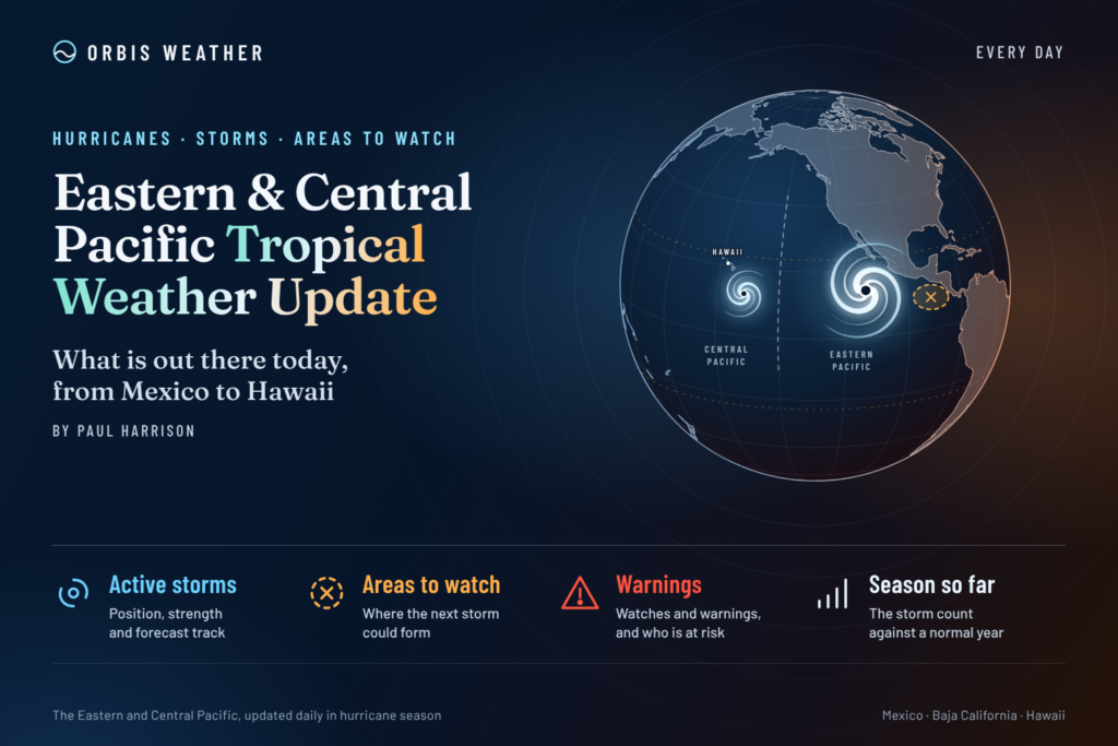
Eastern & Central Pacific Tropical Weather Update: Wednesday, November 11, 2026
By Paul Harrison, Orbis Weather
At a glance
Tropical Storm Pena is the only active cyclone in either basin, and it is forecast to weaken and dissipate far from land with no watches or warnings in effect.
This report is current to 6:47 a.m. EST (1:47 a.m. HST, 11:47 UTC) on Wednesday, November 11, 2026. It uses Pena advisory 19, issued at 11 p.m. HST Tuesday, November 10 (09:00 UTC Wednesday). It also uses the eastern Pacific outlook issued at 10 p.m. PST Tuesday and the central Pacific outlook issued at 8 p.m. HST Tuesday.
- Pena: a tropical storm about 970 miles (1,560 km) southwest of Honolulu, moving west. Hazards affecting land: “None.”
- No threat to land: no tropical cyclone threatens Mexico, Central America, Baja California, Hawaii or the US Southwest today.
- No disturbances: both outlooks say tropical cyclone formation is “not expected during the next 7 days.”
- Busy season: the eastern Pacific has produced well above the average number of named storms and major hurricanes. The season ends November 30.
The National Hurricane Center (NHC), the Central Pacific Hurricane Center (CPHC) and national weather services, including Mexico’s Servicio Meteorológico Nacional (SMN), issue the official forecasts and warnings. Follow any evacuation order immediately.
Active storms
Pena is the only tropical cyclone in the eastern and central North Pacific; the eastern Pacific east of 140°W has none.
Name | Basin | Advisory | Position | Max winds | Pressure | Movement | Watches and warnings |
|---|
Tropical Storm Pena | Central Pacific | No. 19, 11 p.m. HST Tue Nov 10 | 10.1°N 166.7°W; about 495 mi (795 km) SSE of Johnston Island | 45 mph (75 km/h) | 1002 mb (29.59 in) | W (260°) at 9 mph (15 km/h) | None |
Tropical-storm-force winds extend up to 115 miles (185 km) from the center. Pena’s first advisory was issued at 21:00 UTC on Friday, November 6, according to the NHC advisory archive.
The advisory says “little change in strength is forecast during the next day or so, followed by gradual weakening through Friday.” The forecast discussion says a ridge “should cause the storm to accelerate westward during the next few days.” It adds that Pena “could dissipate in a few days while it is near the International Dateline” or “open up into a trough.” The forecast table puts a 35 mph (55 km/h) depression at 11.4°N 179.5°E at 8 a.m. HST Friday, just west of the Date Line, and shows it dissipated 12 hours later. That point, read from the forecast coordinates, lies in the western North Pacific.
Disturbances to watch
No disturbances are marked in either basin, and neither outlook expects a new tropical cyclone this week.
Area | Basin | Location | 48-hour chance | 7-day chance | Outlook issued |
|---|
None marked | Eastern Pacific | — | — | — | 10 p.m. PST Tue Nov 10 |
None marked | Central Pacific | — | — | — | 8 p.m. HST Tue Nov 10 |
The latest available eastern Pacific Tropical Weather Discussion (10:05 UTC Tuesday, November 10) mentions no tropical waves. It places the monsoon trough and the Intertropical Convergence Zone (ITCZ) near 7°N to 9°N, with scattered thunderstorms south of 14°N and west of 100°W.
Marine hazards are the main concern near Mexico. In the Gulf of Tehuantepec, northerly gap winds measured up to 27 knots (31 mph, 50 km/h) by satellite were forecast to pulse to strong, locally near gale force, at night through the week, with seas around 8 feet (2.4 m). Off Baja California Norte, northwest swell was producing seas of 8 to 12 feet (2.4 to 3.7 m). The discussion forecast seas to 19 feet (5.8 m) there on Saturday.
Season so far
The 2026 eastern Pacific season has run well above the 1991-2020 average, most of all in major hurricanes.
Basin | Named storms | Hurricanes | Major hurricanes | As of |
|---|
Eastern Pacific, 2026 | 20 | 10 | 8 | 21:00 UTC Nov 6 |
Eastern Pacific, 1991-2020 average (full season) | 15 | 8 | 4 | — |
Central Pacific, 2026 (includes storms that crossed from the east) | 7 | 5 | 3 | 09:00 UTC Nov 5 |
Figures are from NHC’s 2026 season summaries and its climatology page. NHC’s average-date table puts the 15th named storm on November 5, the 8th hurricane on October 23 and the 4th major hurricane on October 22. So by mid-November an average season has reached its full-season totals. The NHC climatology page gives no 1991-2020 average for the central Pacific.
The central Pacific count predates Pena. Storms that formed in the central Pacific this year are Lala (a major hurricane), Moke, Olana and now Pena. NHC lists no direct deaths in either basin’s summary.
NOAA’s Climate Prediction Center, in its October 8 discussion, kept an El Niño Advisory in effect and said a “strong-to-very strong El Niño” is likely through January-March 2027. Its next update is due November 12.
What to watch next
The next scheduled products will update Pena’s track and the outlooks within hours.
- Pena advisory 20: due at 5 a.m. HST Wednesday (15:00 UTC, 10 a.m. EST), on the NHC website.
- Tropical Weather Outlooks: the central Pacific outlook is due at 2 a.m. HST and the eastern Pacific outlook at 4 a.m. PST Wednesday, both from NHC.
- Pena near the Date Line: the advisories forecast weakening Thursday and Friday (HST), with dissipation near 180° by Friday evening.
- Gulf of Tehuantepec and Baja swell: NHC’s Tropical Weather Discussion covers the gap winds and the large northwest swell expected late this week.
- ENSO update: NOAA’s Climate Prediction Center issues its next El Niño discussion on Thursday, November 12.
About this report
Orbis Weather compiles this daily update from NOAA products. The National Hurricane Center in Miami covers the eastern North Pacific east of 140°W. The central North Pacific, from 140°W to the International Date Line (180°), is the Central Pacific Hurricane Center’s area; NHC is currently issuing the advisories on Pena there. Times follow each product: PST for eastern Pacific outlooks, HST for central Pacific products, with UTC and EST added. Figures are as of the issue times above and are replaced by each new advisory.
Glossary
- Tropical storm: a tropical cyclone with sustained winds of 39 to 73 mph.
- Monsoon trough: a belt of low pressure near the equator where tropical cyclones often form.
- Intertropical Convergence Zone (ITCZ): the band where trade winds meet, producing showers and thunderstorms.
- Gap winds (Tehuantepecers): strong northerly winds funneled through a mountain gap in southern Mexico into the Gulf of Tehuantepec.
- Dissipate: when a cyclone loses its closed circulation and is no longer tracked as a tropical cyclone.
Frequently asked questions
Is Tropical Storm Pena a threat to Hawaii? No. Pena is far southwest of Honolulu and moving west. The advisory lists no coastal watches or warnings and no hazards affecting land.
Will Pena reach the western Pacific? The forecast takes Pena’s center to about the Date Line by Friday as a weakening depression. The discussion says it could dissipate there or open up into a trough.
Is anything forming off Mexico? No. NHC’s outlook expects no tropical cyclone formation in the next seven days. Mariners should still expect strong gap winds in the Gulf of Tehuantepec and rough seas off Baja California.
Is the hurricane season over? Not yet. The eastern and central Pacific seasons both run until November 30, and NOAA has an El Niño Advisory in effect.
Sources
- NHC/CPHC Tropical Storm Pena Public Advisory 19 — 11 p.m. HST Tue Nov 10, 2026
- Tropical Storm Pena Forecast Advisory 19 — 09:00 UTC Wed Nov 11, 2026
- Tropical Storm Pena Forecast Discussion 19 — 11 p.m. HST Tue Nov 10, 2026
- NHC Tropical Storm Pena advisory archive — accessed Nov 11, 2026
- Eastern North Pacific Graphical Tropical Weather Outlook — text issued 10 p.m. PST Tue Nov 10, 2026
- Central North Pacific Tropical Weather Outlook — 8 p.m. HST Tue Nov 10, 2026
- Central North Pacific Graphical Tropical Weather Outlook — accessed Nov 11, 2026
- Eastern Pacific Tropical Weather Discussion — 10:05 UTC Tue Nov 10, 2026
- NHC 2026 eastern Pacific season summary — as of 21:00 UTC Nov 6, 2026
- NHC 2026 central Pacific season summary — as of 09:00 UTC Nov 5, 2026
- NHC tropical cyclone climatology — 1991-2020 averages
- NOAA CPC ENSO Diagnostic Discussion — Oct 8, 2026
- NWS Honolulu — accessed Nov 11, 2026