
🌍 Australia, New Zealand & Oceania Weather & Natural Hazards Today

- Europe Weather & Natural Hazards Today – Monday, November 16, 2026 7:14 PM
- Southeast Asia Weather & Natural Hazards Today: Monday, November 16, 2026 7:07 PM
- Singapore Weather & Natural Hazards This Week, November 16, 2026 6:58 PM
- Africa Weather & Natural Hazards Today — Monday, November 16, 2026 5:43 PM
- Middle East Weather & Natural Hazards Today – Monday, November 16, 2026 3:58 PM
- Global Volcano Report — November 8–14, 2026 3:22 PM
- Global Earthquake Report — November 8–14, 2026 (M4.5+) 3:12 PM
- Australia, New Zealand & Oceania Weather & Natural Hazards Today — Monday, November 16, 2026 12:15 PM
- Flooding in Aceh Spurs Warnings as Severe Weather Threatens 9:09 AM
- North America Weather & Natural Hazards Today – November 15, 2026 8:57 AM
- Central America Weather & Natural Hazards Today – Sunday, November 15, 2026 8:49 AM
- South America Weather & Natural Hazards Today – November 15, 2026 8:41 AM
- Weekly Earth Watch: Volcanoes, Earthquakes & Natural Hazards – Week ending November 15, 2026 8:29 AM
- Daily Earthquakes, Storms, Fires & Floods Report November 15, 2026 8:21 AM
- Australian Region Tropical Weather Update: Sunday, November 15, 2026 8:14 AM
- Southwest Indian Ocean Tropical Weather Update: Sunday, November 15, 2026 8:06 AM
- WESTERN PACIFIC Tropical Weather Update – November 15, 2026 7:57 AM





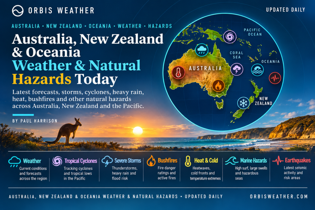
🌏 Australia, New Zealand & Oceania Weather & Natural Hazards Today — Monday, November 16, 2026
By Paul Harrison | Orbis Weather | Regional Weather & Natural Hazards Report
Forecast period: Monday, November 16, 2026 (local time), with an outlook through Tuesday, November 17.
Coverage: Australia, New Zealand, Papua New Guinea, Fiji, Vanuatu, Solomon Islands, Tonga, Samoa, Cook Islands and the wider South Pacific.
🚨 Regional Overview: Severe Storms, Flooding, Dangerous Heat and a Developing Tropical Threat
Australia, New Zealand and the Pacific Islands begin Monday, November 16, facing several significant weather hazards, including severe thunderstorms across eastern Australia, potentially dangerous flooding in New Zealand, an ongoing heatwave in northern Queensland and a tropical disturbance being monitored near the northern Cook Islands.
The most immediate concerns are heavy rainfall across New Zealand’s South Island, where some mountainous districts have been forecast to receive several hundred millimetres of rain, and the possibility of damaging thunderstorms across eastern Australia.
Meanwhile, meteorologists at Fiji’s Regional Specialized Meteorological Centre in Nadi are monitoring Tropical Disturbance TD02F, which has a moderate-to-high potential for tropical cyclone development on Monday.
These weather systems are occurring as the Southern Hemisphere moves toward summer and the South Pacific tropical cyclone season begins to gather momentum.
This report uses official forecasts and warnings available on November 15, with particular attention to conditions expected on Monday, November 16. Forecasts may change as new advisories are issued.
🇦🇺 Australia: Severe Thunderstorms and Heatwave Conditions
Queensland — Severe Heatwave Continues Across the Tropical North
Northern Queensland remains under a significant heatwave threat.
The Australian Bureau of Meteorology issued a heatwave warning on Sunday, November 15, covering the Peninsula and North Tropical Coast and Tablelands districts, valid through Wednesday, November 18.
Across the Peninsula, maximum temperatures are forecast to reach the high 30s to low 40s Celsius (approximately 99–106°F), while overnight temperatures may remain in the mid-20s Celsius (around 77°F).
The Bureau expects severe heatwave conditions to intensify across the Peninsula over the coming days, with Weipa among the locations potentially affected.
The Gulf Country’s severe heatwave conditions have eased, although lower-intensity heatwave conditions may continue.
Prolonged heat creates additional risks for outdoor workers, older residents, young children and people without adequate cooling.
New South Wales — Severe Thunderstorm Threat
Eastern Australia is entering Monday following a weekend of widespread thunderstorm activity.
In its November 15 severe weather update, the Bureau of Meteorology highlighted the likelihood of severe storms across eastern Australia.
For New South Wales, the main hazards to monitor include damaging wind gusts, large hail, intense rainfall and localized flash flooding.
Sydney, the Central Coast, inland New South Wales and surrounding districts should monitor updated forecasts as thunderstorm conditions evolve.
Storms can develop rapidly, producing dangerous lightning and sudden reductions in visibility. Heavy rainfall over urban areas can also overwhelm drainage systems and flood low-lying roads.
The Bureau’s Sunday update provides the latest confirmed broad-scale severe storm guidance reviewed for this Monday report.
Victoria, South Australia and Tasmania
Across southern Australia, changeable spring weather remains an important consideration for residents and travellers.
Passing fronts and low-pressure troughs can bring showers, gusty winds and fluctuating temperatures.
Victoria and Tasmania should monitor updated forecasts for local wind and rainfall warnings, particularly around exposed coastal districts.
South Australia should remain attentive to local fire-weather forecasts during warm, dry and windy periods.
No specific new statewide natural disaster emergency for these three states has been independently confirmed in the sources reviewed for this report.
Western Australia — Thunderstorms and Remote-Area Hazards
Western Australia has experienced considerable lightning activity during November.
Weatherzone reported a major thunderstorm outbreak over outback Australia earlier in the month, including extensive lightning activity across inland districts.
For Monday, thunderstorms remain a hazard to monitor, particularly in remote areas where heavy rainfall can quickly affect unsealed roads and isolated river crossings.
Motorists should avoid driving through flooded crossings and check local road conditions before travelling through remote districts.
Northern Territory — Humidity, Thunderstorms and Tropical Rainfall
The Northern Territory is progressing through its tropical build-up season, bringing increasing humidity, thunderstorms and periods of heavy rain.
The Bureau’s November 10 tropical climate update reported widespread thunderstorms across northern Australia during the preceding week, with rainfall totals reaching 113.8 mm at Old Delamere.
For the November 14–27 period, above-average rainfall is considered likely across much of the Northern Territory and Queensland.
Communities in Darwin, Katherine and remote inland areas should monitor updated warnings for thunderstorms, lightning and local flooding.
🇳🇿 New Zealand: Heavy Rain Warnings and Significant Flooding Risk
South Island — Heavy Rainfall Threatens West Coast and Alpine Districts
New Zealand faces one of the region’s most significant weather threats heading into Monday.
MetService warnings issued ahead of the event forecast exceptionally heavy rainfall across parts of the South Island, including Westland, Canterbury, Buller and Grey districts.
Rainfall amounts in the warnings included:
Area | Forecast rainfall |
|---|---|
Westland ranges | 300–400 mm (11.8–15.7 in) |
Canterbury alpine headwaters | 300–400 mm (11.8–15.7 in) |
Buller ranges | 100–150 mm (3.9–5.9 in) |
Grey district ranges | 100–130 mm (3.9–5.1 in) |
Some of the heaviest rainfall was expected to occur during Monday morning, with peak intensities reaching 30–40 mm per hour in mountainous areas.
The primary hazards include rapidly rising rivers, surface flooding, landslides and difficult driving conditions.
These figures are forecasts from warnings issued before Monday, not confirmed rainfall totals. Some warning periods were due to expire overnight, making updated MetService information essential.
North Island — Variable Spring Weather
Across the North Island, the outlook is less severe than in the South Island’s western mountain districts.
Auckland, Hamilton, Wellington and surrounding communities should continue monitoring local forecasts for changes in rainfall, wind and temperature.
Earth Sciences New Zealand’s seasonal outlook indicates that very strong El Niño conditions are influencing the country’s weather patterns.
The November–January outlook favours below-normal rainfall across parts of the northern and eastern North Island, while western South Island districts are more likely to experience wetter-than-normal conditions.
These are seasonal tendencies rather than predictions for every individual day.
🌀 South Pacific: Tropical Disturbance TD02F Raises Cyclone Concerns
Northern Cook Islands — Moderate-to-High Cyclone Development Potential
One of the most important tropical weather developments is taking place near the northern Cook Islands.
Fiji’s Regional Specialized Meteorological Centre in Nadi identified Tropical Disturbance TD02F west of Penrhyn Island in its November 15 outlook.
At 0000 UTC on November 15, the disturbance was analyzed near 8.9°S, 158.5°W, with an estimated central pressure of 1004 hPa.
The centre’s five-day outlook assessed the potential for TD02F to develop into a tropical cyclone as moderate to high on Monday, November 16, with that elevated potential continuing through Friday, November 20.
The disturbance had not yet been classified as a tropical cyclone in the advisory reviewed.
Northern Cook Islands communities, including Penrhyn, Suwarrow and Manihiki, should closely follow updated forecasts for possible heavy rainfall, strengthening winds and hazardous marine conditions.
The outlook does not establish that every island will experience severe weather or that cyclone formation is certain.
Fiji — Monitoring the South Pacific Cyclone Season
Fiji enters the new week with tropical cyclone preparedness becoming increasingly important.
The Nadi outlook reported no existing tropical cyclones in its responsibility area at the time of issuance, with TD02F the principal system requiring monitoring.
Although the disturbance was situated well east of Fiji, changes in tropical circulation can influence regional rainfall and marine conditions.
Residents should monitor Fiji Meteorological and Hydrological Services for updated rainfall, wind and coastal warnings.
Vanuatu, Solomon Islands and Tonga
Across Vanuatu, the Solomon Islands and Tonga, tropical weather remains an important seasonal concern.
November marks the beginning of the South Pacific’s main tropical cyclone season, when developing disturbances can bring periods of heavy rainfall, thunderstorms, rough seas and strong winds.
There is no confirmed new widespread cyclone emergency affecting these three island nations in the official outlook reviewed for this report.
Communities should nevertheless maintain cyclone preparedness and monitor local meteorological services for changes.
Samoa and American Samoa
Samoa and American Samoa should continue monitoring tropical weather across the central South Pacific.
The developing disturbance near the northern Cook Islands highlights the importance of following regional forecasts, particularly for communities involved in fishing, boating and inter-island transport.
Any significant change in the disturbance’s intensity or track could alter marine conditions across portions of the wider region.
🇵🇬 Papua New Guinea: Heavy Rainfall, Landslide and Earthquake Exposure
Papua New Guinea remains exposed to several natural hazards because of its mountainous terrain, tropical climate and location along an active tectonic boundary.
Heavy tropical downpours can produce localized flooding and landslides, particularly in steep highland districts and communities with vulnerable road connections.
Earthquake activity also remains an ongoing regional hazard.
However, no specific damaging earthquake, major landslide or new nationwide flood emergency for November 16 has been independently confirmed in the sources reviewed for this report.
Residents should follow official local advisories and earthquake bulletins rather than interpreting general regional risk as evidence of an active emergency.
🌊 Pacific Ocean: Marine Hazards and Coastal Conditions
Marine conditions deserve particular attention as the tropical cyclone season develops.
Potential hazards across the region include thunderstorms over open water, reduced visibility during tropical downpours, strong wind gusts and hazardous seas near developing disturbances.
Fishing crews, commercial vessels and recreational boaters should consult current marine forecasts before departure.
In the northern Cook Islands, marine conditions require especially close monitoring while TD02F remains under development watch.
No specific wave heights or coastal inundation forecasts have been verified for individual islands in this report.
🌡️ El Niño: A Major Influence on the Months Ahead
Very strong El Niño conditions are playing an important role in shaping weather patterns across Australia, New Zealand and the Pacific.
Earth Sciences New Zealand’s October 29 seasonal outlook indicates that the current El Niño event is among the strongest observed, with further intensification possible during November 2026 through January 2027.
The outlook also suggests normal-to-above-normal tropical cyclone activity across the Southwest Pacific basin as a whole.
Strong El Niño events historically tend to shift tropical cyclone activity farther east across the region.
For New Zealand, the outlook favours stronger westerly airflow, wetter conditions in the southwest of the South Island and drier conditions across eastern portions of the North Island.
These longer-term projections help explain the regional climate background but cannot determine the exact location or severity of individual storms.
⚠️ Natural Hazards Risk Summary — Monday, November 16
Region | Principal hazard | Assessment |
|---|---|---|
Eastern Australia | Severe thunderstorms | Elevated concern |
Northern Queensland | Severe heatwave | Official warning |
New Zealand South Island | Heavy rain and flooding | Official warnings issued |
Northern Cook Islands | Tropical cyclone development | Moderate-to-high potential |
Northern Territory | Tropical thunderstorms | Seasonal monitoring |
Fiji and wider South Pacific | Tropical weather | Monitoring |
Papua New Guinea | Flood, landslide and seismic exposure | Background risk |
These assessments are editorial summaries of available forecasts and established hazards, not an official standardized risk scale.
📅 Outlook: Tuesday, November 17, and Beyond
Several weather developments will require continued attention through the middle of the week.
In Australia, northern Queensland’s heatwave is expected to continue, while further thunderstorms remain possible across parts of the continent.
New Zealand’s immediate priority is the outcome of the South Island heavy rainfall event, including any lingering river rises, flooding and transport disruption.
Across the tropical South Pacific, TD02F is the most important system to monitor. The Nadi outlook maintains moderate-to-high cyclone development potential for Tuesday and subsequent days.
Residents of the northern Cook Islands should watch for updated tropical disturbance advisories, particularly if the system becomes better organized or receives an official tropical cyclone classification.
🛡️ Weather Safety Advice
Flooding: Never drive or walk through floodwater. River levels can continue rising after heavy rainfall ends.
Severe thunderstorms: Seek shelter indoors when lightning approaches and secure loose outdoor objects.
Heatwaves: Reduce strenuous outdoor activity, drink water regularly and check on vulnerable neighbours.
Tropical disturbances: Follow official cyclone bulletins and prepare essential supplies before conditions deteriorate.
Marine travel: Check current wind, wave and tropical cyclone forecasts before heading offshore.
📚 Official Weather Sources and Further Information
The following organizations provide authoritative forecasts, warnings and hazard monitoring across the region.
Australian Bureau of Meteorology — Australian forecasts, heatwaves, severe storms and tropical cyclone information.
MetService New Zealand — Severe weather warnings and local forecasts.
Fiji Meteorological and Hydrological Services — South Pacific tropical cyclone monitoring.
Earth Sciences New Zealand seasonal climate outlook — El Niño and seasonal climate guidance.
USGS Earthquake Hazards Program — Earthquake monitoring across Papua New Guinea and the Pacific.
GeoNet New Zealand — Earthquakes and geological hazards.
🌏 Final Outlook: A Busy Start to the Week Across the Southern Hemisphere
Monday, November 16, brings a mixture of severe weather threats across Australia, New Zealand and Oceania.
Heavy rainfall and possible flooding across New Zealand’s South Island remain a major concern, while northern Queensland continues to experience dangerous heatwave conditions.
Eastern Australia faces further thunderstorm concerns following an unsettled weekend.
But the developing tropical disturbance near the northern Cook Islands may become the region’s most important weather story over the coming days.
With TD02F carrying moderate-to-high cyclone formation potential, communities across the northern Cook Islands should pay particular attention to official forecasts.
The combination of active spring weather, increasing tropical moisture and a very strong El Niño makes continued monitoring essential as the Southern Hemisphere approaches summer.
Orbis Weather Editorial Note: This report was prepared for Monday, November 16, 2026, using meteorological bulletins available through November 15. It distinguishes confirmed warnings from seasonal risks and forecast possibilities. Conditions, warning areas and cyclone classifications may change after publication. Readers should always consult the relevant national meteorological agency for the latest official advice.Reporting and analysis: Paul Harrison | Orbis WeatherWebsite: orbisweather.com
About the Author
Paul Harrison — Founder & Publisher, Orbis Weather
Paul Harrison founded Orbis Weather in 2026 to make global weather and natural-hazard information easier to find, follow and understand. His coverage includes tropical cyclones, severe weather, extreme temperatures, earthquakes, volcanoes, wildfires, flooding and significant natural disasters worldwide.
View all articles by Paul Harrison → | Editorial Standards →
Global Weather Tracker Hub
Explore weather maps, tropical systems, storms and natural hazards around the world.
No matching trackers found.