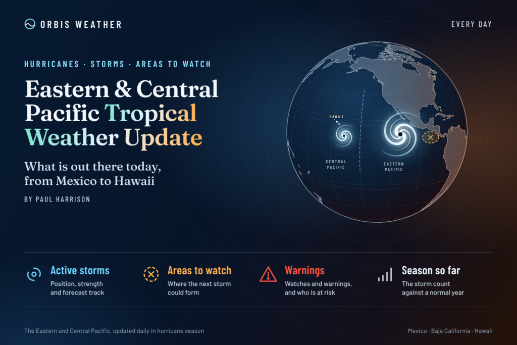
Eastern & Central Pacific Tropical Weather Update: Thursday, November 12, 2026
By Paul Harrison, Orbis Weather
Current to 7:00 a.m. EST (2:00 a.m. HST, 1200 UTC) Thursday, November 12, 2026. Products used: Advisory 23 on Pena (issued by NHC for the central Pacific), issued 11:00 p.m. HST Wednesday, November 11 (0900 UTC November 12); NHC Eastern North Pacific Tropical Weather Outlook, 10:00 p.m. PST Wednesday, November 11; Central Pacific Tropical Weather Outlook, 2:00 a.m. HST Wednesday, November 11.
At a glance
Tropical Depression Pena is weakening far out over the open central Pacific and poses no threat to land.
- Pena: the only active cyclone in either basin, about 1,225 miles (1,975 km) southwest of Honolulu. No coastal watches or warnings are in effect.
- Forecast: Pena is expected to become a remnant low by late Thursday and dissipate by late Friday, near the International Date Line.
- Disturbances: none. The outlooks for both basins do not expect tropical cyclone formation in the next 7 days.
- Season: the eastern Pacific has had 20 named storms through November 6, five more than normal to date, per NHC. Both seasons end November 30.
The National Hurricane Center, the Central Pacific Hurricane Center and national weather services, including Mexico’s Servicio Meteorológico Nacional (SMN), issue the official forecasts and warnings. Follow any evacuation order immediately.
Active storms
Pena is the only tropical cyclone in the eastern and central Pacific. NHC’s main page lists no storms in the eastern Pacific.
Name | Basin | Advisory | Position | Max winds | Pressure | Movement | Watches/warnings |
|---|
Tropical Depression Pena | Central Pacific | No. 23, 11:00 p.m. HST Wed Nov 11 | 9.8N 172.0W; 505 mi (815 km) SSW of Johnston Island | 35 mph (55 km/h) | 1009 mb (29.80 in) | W at 16 mph (26 km/h) | None |
Pena’s deep thunderstorms “collapsed over the past few hours, likely due to an increasingly dry mid-level environment,” the 11:00 p.m. HST discussion said. NHC lists “None” under hazards affecting land. Its forecast takes the remnant low west along about 10N, reaching roughly the Date Line by 8:00 a.m. HST Friday (forecast coordinates), and it expects Pena “to open into a trough and dissipate by Friday evening.” The next advisory, due at 5:00 a.m. HST (10:00 a.m. EST, 1500 UTC), replaces these figures.
Disturbances to watch
No disturbances are being monitored in either basin, and formation is not expected for 7 days.
Area | Basin | Location | 48-hour chance | 7-day chance | Outlook issued |
|---|
None | Eastern Pacific | — | — | — | 10:00 p.m. PST Wed Nov 11 |
None | Central Pacific | — | — | — | 2:00 a.m. HST Wed Nov 11 |
NHC’s Tropical Weather Discussion (1005 UTC Wednesday, November 11) places the monsoon trough from 07N78W to 04N91W, with the ITCZ continuing west to 07N134W. Northerly gap winds in the Gulf of Tehuantepec will pulse to strong, locally near gale force, at night through the rest of the week, with seas around 8 ft (2.4 m). Long-period northwest swell is producing seas of 8 to 11 ft (2.4 to 3.4 m) off Baja California, and a larger swell arriving Saturday will bring high seas to 20 ft (6.1 m).
Season so far
Both basins are running well above normal in 2026, according to NHC’s season summaries.
Basin (as of) | Named storms | Hurricanes | Major hurricanes | Accumulated cyclone energy |
|---|
Eastern Pacific (21 UTC Nov 6) | 20 (+5) | 10 (+2) | 8 (+4) | 247.8 (+131%) |
Central Pacific (09 UTC Nov 5) | 7 (+4) | 5 (+4) | 3 (+3) | 108.5 (+362%) |
1991–2020 eastern Pacific full-season average | 15 | 8 | 4 | — |
Figures in brackets are NHC’s stated departures from normal. The central Pacific row counts storms active in that basin, including Fausto, Karina, Lowell, Norbert and Nolo, which formed farther east; Lala, Moke and Olana formed there. Pena is not yet included in that list. On average the eastern Pacific’s 15th named storm forms by November 5, NHC climatology shows.
NOAA’s Climate Prediction Center kept an El Niño Advisory in its October 8 discussion, saying “El Niño continues to strengthen, with a strong-to-very strong El Niño likely through January-March 2027.”
What to watch next
- Pena’s next advisory: 5:00 a.m. HST Thursday (1500 UTC), from NHC for the central Pacific. NHC forecasts the transition to a remnant low by late Thursday.
- Pena’s dissipation: expected by Friday evening, HST, near the Date Line; NHC’s final advisory will confirm it.
- Tropical Weather Outlooks: NHC’s next eastern and central Pacific outlooks will show whether any new area emerges before both seasons end November 30.
- Gap winds and swell: NHC’s Tropical Weather Discussion says the next Tehuantepec gap-wind event may occur early next week, and tracks the large northwest swell arriving Saturday.
- ENSO update: NOAA’s Climate Prediction Center scheduled its next ENSO discussion for Thursday, November 12.
About this report
This daily update covers the eastern North Pacific, east of 140°W, and the central North Pacific, from 140°W to the International Date Line. It draws on National Hurricane Center advisories, outlooks and discussions, NHC season summaries and climatology, and NOAA’s Climate Prediction Center. Storm times are given in the zone each product uses (HST for Pena, PST for the eastern Pacific outlook), with EST and UTC where useful. Products are refreshed often; the issue time beside each figure shows its age, and the newest official product always takes precedence.
- Tropical depression: the weakest stage of a tropical cyclone, with winds below tropical-storm strength.
- Post-tropical remnant low: what is left of a cyclone once it no longer has organized thunderstorms near its center.
- Monsoon trough / ITCZ: a belt of low pressure and showers near the equator where many eastern Pacific storms begin.
- Gap winds (Tehuantepecer): strong northerly winds funneled through a mountain gap in southern Mexico into the Gulf of Tehuantepec.
- Accumulated cyclone energy (ACE): a season measure that combines how strong storms were and how long they lasted.
Frequently asked questions
Is Hawaii at risk from Pena? No. Pena is about 1,225 miles southwest of Honolulu and moving west. NHC lists no coastal watches or warnings and no hazards affecting land.
Will Pena cross into the western Pacific? NHC’s forecast has Pena’s remnant low reaching about the Date Line on Friday, then dissipating by Friday evening. It is expected to be a remnant low, not a tropical cyclone, by then.
Is anything forming near Mexico? No. NHC’s eastern Pacific outlook says tropical cyclone formation is not expected during the next 7 days. Mariners near the Gulf of Tehuantepec and off Baja California should still expect gap winds and large swell.
How unusual has this season been? Very active. NHC counts 20 named storms in the eastern Pacific through November 6, above the full-season average of 15. The season ends November 30.
Sources
- NHC Tropical Depression Pena Public Advisory 23, 11:00 p.m. HST Wed Nov 11, 2026
- NHC Tropical Depression Pena Forecast Advisory 23, 0900 UTC Thu Nov 12, 2026
- NHC Tropical Depression Pena Forecast Discussion 23, 11:00 p.m. HST Wed Nov 11, 2026
- NHC Eastern North Pacific Tropical Weather Outlook, 10:00 p.m. PST Wed Nov 11, 2026
- NHC Central Pacific Tropical Weather Outlook (graphical page), text issued 2:00 a.m. HST Wed Nov 11, 2026
- NHC Eastern Pacific graphical outlook, accessed Nov 12, 2026
- NHC Eastern Pacific Tropical Weather Discussion, 1005 UTC Wed Nov 11, 2026
- National Hurricane Center home page, last updated 13:40 UTC Wed Nov 11, 2026
- NHC 2026 eastern Pacific season summary, as of 21 UTC Nov 6, 2026
- NHC 2026 central Pacific season summary, as of 09 UTC Nov 5, 2026
- NHC tropical cyclone climatology, 1991–2020 averages
- NOAA CPC ENSO Diagnostic Discussion, Oct 8, 2026