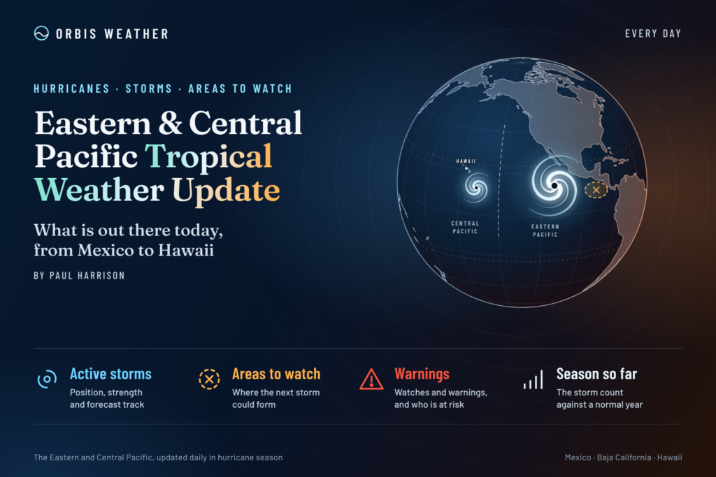
Eastern & Central Pacific Tropical Weather Update: Friday, November 13, 2026
By Paul Harrison, Orbis Weather
Current to 7:00 a.m. EST (2:00 a.m. HST, 1200 UTC) on Friday, November 13, 2026. Based on the NHC Eastern Pacific Tropical Weather Outlook issued at 10:00 p.m. PST Thursday, November 12 (0600 UTC Friday), the final advisory on Pena issued at 5:00 a.m. HST Thursday (1500 UTC), and the NHC Eastern Pacific Tropical Weather Discussion issued at 2205 UTC Thursday.
At a glance
Both Pacific basins are free of tropical cyclones this morning after Pena weakened into an open trough far southwest of Hawaii on Thursday.
- No active storms. The National Hurricane Center (NHC) issued its last advisory on Pena at 5:00 a.m. HST Thursday. No storm threatens Mexico, Central America or Hawaii.
- One low-odds area. The remnants of Pena, well west-southwest of Hawaii, carry a 10 percent chance of redevelopment over 48 hours and 7 days.
- Gap winds return next week. NHC expects a new Gulf of Tehuantepec wind event early next week, possibly reaching gale force by Tuesday night.
- A very active eastern Pacific season. NHC’s counts of named storms, hurricanes and major hurricanes already top the 1991-2020 full-season averages.
The National Hurricane Center, the Central Pacific Hurricane Center and national weather services, including Mexico’s Servicio Meteorológico Nacional (SMN), issue the official forecasts and warnings. Follow any evacuation order immediately.
Active storms
There are no active tropical or subtropical cyclones, and no potential tropical cyclones, in the eastern or central North Pacific.
The most recent system, Pena, was declassified on Thursday. Its final position is listed below for reference.
Name | Basin | Final advisory | Position | Max winds | Pressure | Movement | Watches and warnings |
|---|
Remnants of Pena | Central Pacific | No. 24, 5:00 a.m. HST Thu Nov 12 (1500 UTC) | 9.8N 173.4W, about 545 mi (875 km) SSW of Johnston Island and 1,300 mi (2,090 km) SW of Honolulu | 35 mph (55 km/h) | 1006 mb (29.71 in) | W at 18 mph (29 km/h) | None |
The discussion said Pena “is no longer a tropical cyclone” after satellite wind data showed an open trough. The forecast advisory projected the system to be dissipated by 0000 UTC Friday.
Disturbances to watch
Only one area is on the outlook, and its odds are low: the remnants of Pena, far from land.
Area | Basin | Location | 48-hour chance | 7-day chance | Outlook issued |
|---|
Remnants of Pena | Central Pacific | Well west-southwest of the Hawaiian Islands | Low, 10% | Low, 10% | 10:00 p.m. PST Thu Nov 12 (0600 UTC Fri) |
NHC said showers and thunderstorms “have increased somewhat” with the remnants, but satellite wind data show the system “lacks a well-defined circulation.” Conditions appear “only marginally conducive for some redevelopment” before the system crosses the International Date Line on Friday. The outlook lists no other areas.
The Tropical Weather Discussion places the monsoon trough from the Nicaragua-Panama border area to the Gulf of Papagayo near 10.5N 86W, and lists no tropical waves. Fresh northerly winds blow in the Gulf of Tehuantepec, with seas of 4 to 7 ft (1.2 to 2.1 m). NHC forecasts the next Tehuantepec gap wind event to begin early next week, adding that winds “may reach gale-force starting Tue night, if not sooner.” Winds in the Gulf of Papagayo could also strengthen early next week. Fresh to locally strong winds may briefly affect the northern Gulf of California on Friday, and a series of northwest swells is building seas to a peak of 22 ft (6.7 m) near 30N 126W, which the coordinates place well west of northern Baja California.
Season so far
The 2026 eastern Pacific season has already exceeded a normal full season on every count, and both basin seasons run to November 30.
Eastern Pacific | 2026 to date | 1991-2020 average, full season |
|---|
Named storms | 20 | 15 |
Hurricanes | 10 | 8 |
Major hurricanes (Category 3+) | 8 | 4 |
The 2026 figures are NHC’s season summary as of 1500 UTC November 12. NHC’s climatology says the 15th named storm forms on average by November 5. NHC puts eastern Pacific accumulated cyclone energy at 247.5, or 130 percent above normal. The central Pacific has also been busy: three storms formed there through early November (Major Hurricane Lala and Tropical Storms Moke and Olana), per NHC’s central Pacific list updated November 5, before Pena formed.
CPC’s October 8 ENSO discussion, the latest edition posted on its site, kept an El Niño Advisory in effect and called a “strong-to-very strong El Niño likely through January-March 2027.”
What to watch next
The main items are the fate of Pena’s remnants on Friday and gap winds off southern Mexico next week.
- Pena’s remnants, Friday. NHC’s next eastern Pacific outlook will show whether the 10 percent chance holds as the system nears the International Date Line.
- Gulf of Tehuantepec, early next week. NHC’s Tropical Weather Discussion tracks the expected gap wind event, with gale force possible from Tuesday night.
- Northwest swell off Baja California. NHC’s discussion continues to flag the large swell event in the northern offshore waters.
- Hawaii surf and marine conditions. NWS Honolulu issues any surf or small craft advisories for the islands.
- End of season, November 30. NHC and the Central Pacific Hurricane Center issue routine outlooks through the season’s close.
About this report
This daily update summarizes official products for the eastern North Pacific, east of 140°W, and the central North Pacific, from 140°W to the International Date Line. It draws on the National Hurricane Center, the Central Pacific Hurricane Center, NWS Honolulu and NOAA’s Climate Prediction Center. Times follow each product’s own zone (PST for NHC eastern Pacific outlooks, HST for central Pacific advisories) plus UTC. Figures are current only to the issue times above; newer products replace them.
Glossary
- Open trough: an elongated area of low pressure with no closed circulation, so it no longer counts as a tropical cyclone.
- Remnant low: what is left of a former tropical cyclone after it loses its tropical characteristics.
- Monsoon trough: a belt of low pressure near the equator where showers and thunderstorms cluster and storms often form.
- Gap wind (Tehuantepecer): strong northerly wind funneled through a mountain gap across southern Mexico into the Gulf of Tehuantepec.
- Major hurricane: Category 3 or stronger on the five-category Saffir-Simpson Hurricane Wind Scale.
Frequently asked questions
Is any storm threatening Mexico or Hawaii today? No. There are no active tropical cyclones in either basin, and Pena’s final advisory listed no coastal watches or warnings.
What happened to Pena? Pena weakened into an open trough southwest of Hawaii on Thursday, and the advisory issued at 5:00 a.m. HST was the last. Its remnants carry a low, 10 percent chance of regrouping before they cross the Date Line.
Could another storm form before the season ends? NHC’s latest outlook lists only Pena’s remnants. Both seasons officially end on November 30, so the outlooks continue until then.
Why has the eastern Pacific been so busy this year? NHC’s season summary does not give a cause. CPC’s latest available ENSO discussion reports a strengthening El Niño, but it does not link that to the storm count.
Sources
- NHC Eastern Pacific Tropical Weather Outlook, 10:00 p.m. PST Thu Nov 12, 2026
- NHC Eastern Pacific Tropical Weather Discussion, 2205 UTC Thu Nov 12, 2026
- Remnants of Pena Public Advisory 24, 5:00 a.m. HST Thu Nov 12, 2026
- Pena Forecast Advisory 24, 1500 UTC Thu Nov 12, 2026
- Pena Forecast Discussion 24, 5:00 a.m. HST Thu Nov 12, 2026
- Pena advisory archive, accessed Nov 13, 2026
- Central Pacific Tropical Weather Outlook, 2:00 a.m. HST Thu Nov 12, 2026
- NHC 2026 eastern Pacific season summary, as of 1500 UTC Nov 12, 2026
- NHC 2026 central Pacific season summary, as of 0900 UTC Nov 5, 2026
- NHC tropical cyclone climatology, 1991-2020 averages, accessed Nov 13, 2026
- NWS Honolulu, map updated 6:06 a.m. HST Thu Nov 12, 2026
- CPC ENSO Diagnostic Discussion, Oct 8, 2026